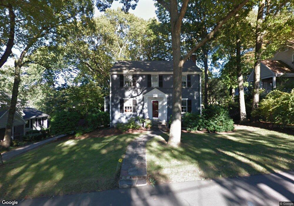
253 Hillcrest Rd Needham, MA 02492
Estimated Value: $1,205,000 - $1,483,022
4
Beds
3
Baths
1,121
Sq Ft
$1,228/Sq Ft
Est. Value
About This Home
This home is located at 253 Hillcrest Rd, Needham, MA 02492 and is currently estimated at $1,376,756, approximately $1,228 per square foot. 253 Hillcrest Rd is a home located in Norfolk County with nearby schools including Broadmeadow Elementary School, High Rock Middle School, and Pollard Middle School.
Ownership History
Date
Name
Owned For
Owner Type
Purchase Details
Closed on
Sep 10, 2020
Sold by
Rosenberg Stephen D and Fiore Caroline M
Bought by
Fiore Rosenberg Ft
Current Estimated Value
Purchase Details
Closed on
Oct 29, 1993
Sold by
Flight Curtis C and Flight Barbara R
Bought by
Wolfe James B and Wolfe Cynthia J
Create a Home Valuation Report for This Property
The Home Valuation Report is an in-depth analysis detailing your home's value as well as a comparison with similar homes in the area
Home Values in the Area
Average Home Value in this Area
Purchase History
| Date | Buyer | Sale Price | Title Company |
|---|---|---|---|
| Fiore Rosenberg Ft | -- | None Available | |
| Wolfe James B | $295,000 | -- |
Source: Public Records
Mortgage History
| Date | Status | Borrower | Loan Amount |
|---|---|---|---|
| Previous Owner | Wolfe James B | $412,000 | |
| Previous Owner | Wolfe James B | $369,600 |
Source: Public Records
Tax History
| Year | Tax Paid | Tax Assessment Tax Assessment Total Assessment is a certain percentage of the fair market value that is determined by local assessors to be the total taxable value of land and additions on the property. | Land | Improvement |
|---|---|---|---|---|
| 2025 | $12,781 | $1,205,800 | $789,500 | $416,300 |
| 2024 | $12,089 | $965,600 | $573,300 | $392,300 |
| 2023 | $12,247 | $939,200 | $573,300 | $365,900 |
| 2022 | $11,831 | $884,900 | $530,800 | $354,100 |
| 2021 | $11,530 | $884,900 | $530,800 | $354,100 |
| 2020 | $11,187 | $895,700 | $531,100 | $364,600 |
| 2019 | $10,411 | $840,300 | $482,800 | $357,500 |
| 2018 | $9,983 | $840,300 | $482,800 | $357,500 |
| 2017 | $9,527 | $801,300 | $482,800 | $318,500 |
| 2016 | $9,247 | $801,300 | $482,800 | $318,500 |
| 2015 | $9,047 | $801,300 | $482,800 | $318,500 |
| 2014 | $7,759 | $666,600 | $419,800 | $246,800 |
Source: Public Records
Map
Nearby Homes
- 176 Highgate St
- 190 Brookline St
- 68 Brookline St
- 31 Birds Hill Ave
- 17 Lindbergh Ave
- 36 Otis St Unit 36
- 638 Webster St
- 638 Webster St Unit 638
- 126 Prince St
- 100 Bradford St
- 510 Webster St
- 883 Greendale Ave
- 60 Douglas Rd
- 19 Oakland Ave Unit 19
- 28 Green St
- 19 Highland Ct Unit 19
- 24 Mellen St
- 58 Morton St
- 7 West St
- 971 Webster St
- 259 Hillcrest Rd
- 245 Hillcrest Rd
- 6 Morningside Rd
- 204 Highgate St
- 256 Hillcrest Rd
- 250 Hillcrest Rd
- 267 Hillcrest Rd
- 262 Hillcrest Rd
- 196 Highgate St
- 246 Hillcrest Rd
- 233 Hillcrest Rd
- 5 Morningside Rd
- 242 Hillcrest Rd
- 188 Highgate St
- 211 Highgate St
- 203 Highgate St
- 120 Wyoming Ave
- 126 Wyoming Ave
- 227 Hillcrest Rd
- 4 Nichols Rd
Your Personal Tour Guide
Ask me questions while you tour the home.