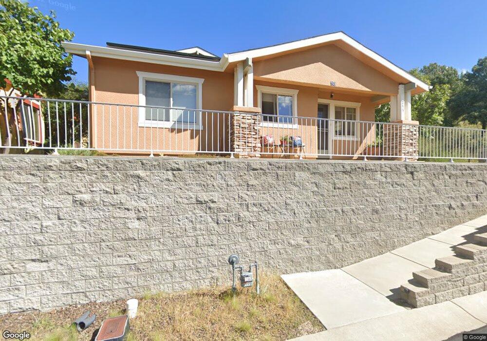
253 Jacob Ln Prescott, AZ 86303
Estimated Value: $370,000 - $613,000
--
Bed
--
Bath
1,164
Sq Ft
$405/Sq Ft
Est. Value
About This Home
This home is located at 253 Jacob Ln, Prescott, AZ 86303 and is currently estimated at $471,731, approximately $405 per square foot. 253 Jacob Ln is a home located in Yavapai County with nearby schools including Taylor Hicks School, Granite Mountain Middle School, and Prescott Mile High Middle School.
Ownership History
Date
Name
Owned For
Owner Type
Purchase Details
Closed on
Nov 19, 2010
Sold by
Mangimeli John
Bought by
John Mangimeli Living Trust
Current Estimated Value
Purchase Details
Closed on
Feb 2, 2009
Sold by
Osborne Terry I
Bought by
Mangimeli John
Home Financials for this Owner
Home Financials are based on the most recent Mortgage that was taken out on this home.
Original Mortgage
$175,000
Outstanding Balance
$110,087
Interest Rate
5.01%
Mortgage Type
New Conventional
Estimated Equity
$361,644
Purchase Details
Closed on
Oct 25, 2005
Sold by
Poile Patricia
Bought by
Osborne Terry I
Purchase Details
Closed on
Jun 10, 2003
Sold by
Manzanita Village Llc
Bought by
Poile Patricia
Home Financials for this Owner
Home Financials are based on the most recent Mortgage that was taken out on this home.
Original Mortgage
$42,500
Interest Rate
5.61%
Mortgage Type
New Conventional
Create a Home Valuation Report for This Property
The Home Valuation Report is an in-depth analysis detailing your home's value as well as a comparison with similar homes in the area
Home Values in the Area
Average Home Value in this Area
Purchase History
| Date | Buyer | Sale Price | Title Company |
|---|---|---|---|
| John Mangimeli Living Trust | -- | None Available | |
| Mangimeli John | $250,000 | Pioneer Title Agency Inc | |
| Osborne Terry I | $74,000 | Pioneer Title Agency Inc | |
| Poile Patricia | $50,000 | Pioneer Title Agency |
Source: Public Records
Mortgage History
| Date | Status | Borrower | Loan Amount |
|---|---|---|---|
| Open | Mangimeli John | $175,000 | |
| Previous Owner | Poile Patricia | $42,500 |
Source: Public Records
Tax History Compared to Growth
Tax History
| Year | Tax Paid | Tax Assessment Tax Assessment Total Assessment is a certain percentage of the fair market value that is determined by local assessors to be the total taxable value of land and additions on the property. | Land | Improvement |
|---|---|---|---|---|
| 2026 | $844 | $32,644 | -- | -- |
| 2024 | $826 | $32,249 | -- | -- |
| 2023 | $826 | $26,010 | $5,731 | $20,279 |
| 2022 | $810 | $22,109 | $5,460 | $16,649 |
| 2021 | $712 | $21,495 | $4,747 | $16,748 |
| 2020 | $715 | $0 | $0 | $0 |
| 2019 | $710 | $0 | $0 | $0 |
| 2018 | $679 | $0 | $0 | $0 |
| 2017 | $654 | $0 | $0 | $0 |
| 2016 | $651 | $0 | $0 | $0 |
| 2015 | $632 | $0 | $0 | $0 |
| 2014 | $666 | $0 | $0 | $0 |
Source: Public Records
Map
Nearby Homes
- 277 Jacob Ln
- 262 Looking Glass Dr
- 223 Looking Glass Dr
- 267 Looking Glass Dr
- 231 Looking Glass Dr
- 263 Looking Glass Dr
- 303 Double d Dr
- 500 Broadview Dr
- 203 Looking Glass Dr
- 450 Broadview Dr
- 300 Newport Dr
- 386 Newport Dr
- 398 Newport Dr Unit 85
- 550 Eastwood Place
- 432 Newport Dr Unit 86
- 1001 E Goodwin St Unit 204
- 1228 McDonald Dr Unit 1/2
- 1228 McDonald Dr Unit 52
- 1228 McDonald Dr
- 215 Rhonda Dr