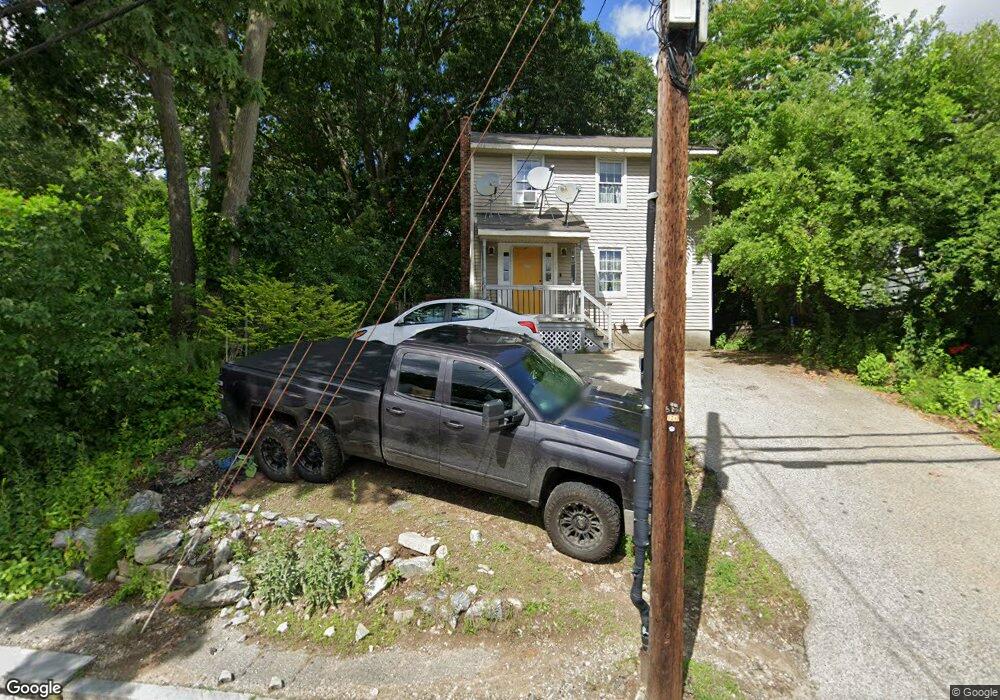
253 Massasoit Rd Worcester, MA 01604
Broadmeadow Brook NeighborhoodEstimated Value: $309,000 - $405,250
3
Beds
3
Baths
1,152
Sq Ft
$302/Sq Ft
Est. Value
About This Home
This home is located at 253 Massasoit Rd, Worcester, MA 01604 and is currently estimated at $348,063, approximately $302 per square foot. 253 Massasoit Rd is a home located in Worcester County with nearby schools including Jacob Hiatt Magnet School, Chandler Magnet, and Rice Square Elementary School.
Ownership History
Date
Name
Owned For
Owner Type
Purchase Details
Closed on
Nov 14, 2025
Sold by
Wilga Stephanie and Macero Nicole M
Bought by
Kerr Isabella and Deraleau Cameron
Current Estimated Value
Home Financials for this Owner
Home Financials are based on the most recent Mortgage that was taken out on this home.
Original Mortgage
$170,000
Outstanding Balance
$169,361
Interest Rate
6.34%
Mortgage Type
New Conventional
Estimated Equity
$178,702
Purchase Details
Closed on
Dec 28, 2023
Sold by
Heney Barbara A Est and Hicks
Bought by
Wilga Stephanie and Macero Nicole M
Purchase Details
Closed on
Sep 1, 2000
Sold by
Gtr Worc Habitat Human
Bought by
Heney Barbara
Home Financials for this Owner
Home Financials are based on the most recent Mortgage that was taken out on this home.
Original Mortgage
$65,000
Interest Rate
8.16%
Mortgage Type
Purchase Money Mortgage
Create a Home Valuation Report for This Property
The Home Valuation Report is an in-depth analysis detailing your home's value as well as a comparison with similar homes in the area
Home Values in the Area
Average Home Value in this Area
Purchase History
| Date | Buyer | Sale Price | Title Company |
|---|---|---|---|
| Kerr Isabella D | $317,000 | -- | |
| Wilga Stephanie L | -- | None Available | |
| Heney Barbara A | $65,000 | -- |
Source: Public Records
Mortgage History
| Date | Status | Borrower | Loan Amount |
|---|---|---|---|
| Open | Kerr Isabella D | $170,000 | |
| Previous Owner | Heney Barbara A | $65,000 |
Source: Public Records
Tax History
| Year | Tax Paid | Tax Assessment Tax Assessment Total Assessment is a certain percentage of the fair market value that is determined by local assessors to be the total taxable value of land and additions on the property. | Land | Improvement |
|---|---|---|---|---|
| 2025 | $4,766 | $361,300 | $114,800 | $246,500 |
| 2024 | $4,683 | $340,600 | $114,800 | $225,800 |
| 2023 | $4,484 | $312,700 | $99,900 | $212,800 |
| 2022 | $4,117 | $270,700 | $79,900 | $190,800 |
| 2021 | $3,842 | $236,000 | $63,900 | $172,100 |
| 2020 | $3,769 | $221,700 | $63,900 | $157,800 |
| 2019 | $3,625 | $201,400 | $57,500 | $143,900 |
| 2018 | $3,610 | $190,900 | $57,500 | $133,400 |
| 2017 | $3,452 | $179,600 | $57,500 | $122,100 |
| 2016 | $3,380 | $164,000 | $42,200 | $121,800 |
| 2015 | $3,291 | $164,000 | $42,200 | $121,800 |
| 2014 | $3,205 | $164,000 | $42,200 | $121,800 |
Source: Public Records
Map
Nearby Homes
- 259 Massasoit Rd
- 256 Massasoit Rd
- 266 Massasoit Rd
- 16 Vincent Cir
- 25 Stoneham Rd
- 3 Julien Ave
- 3 Hampton St
- 330 Sunderland Rd Unit 80
- 330 Sunderland Rd Unit 69
- 270 Sunderland Rd Unit 2
- 340 Sunderland Rd Unit 28
- 239 Dana Ave
- 83 Massasoit Rd
- 128 Derby St
- 130 Kenberma Rd
- 143 Commonwealth Ave
- 13 Pocasset St
- 37 Dane Ave
- 1260 Grafton St
- 1195 Grafton St Unit 19
- 255 Massasoit Rd
- 257 Massasoit Rd
- 15 Primrose St
- 11 Primrose St
- 250 Massasoit Rd
- 9 Primrose St
- 17 Primrose St
- 17 Primrose St Unit 1
- 246 Massasoit Rd
- 5 Stoneham Rd
- 7 Stoneham Rd
- 7 Stoneham Rd Unit 2
- 252 Massasoit Rd
- 261 Massasoit Rd
- 239 Massasoit Rd
- 239 Massasoit Rd Unit 1
- 258 Massasoit Rd
- 7 Primrose St
- 14 Primrose St
- 260 Massasoit Rd
Your Personal Tour Guide
Ask me questions while you tour the home.