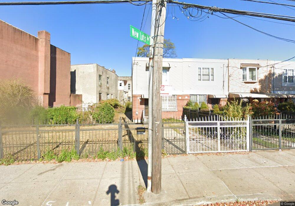
253 New Lots Ave Brooklyn, NY 11207
Brownsville NeighborhoodEstimated Value: $603,000 - $710,000
Studio
--
Bath
1,332
Sq Ft
$494/Sq Ft
Est. Value
About This Home
This home is located at 253 New Lots Ave, Brooklyn, NY 11207 and is currently estimated at $658,449, approximately $494 per square foot. 253 New Lots Ave is a home located in Kings County with nearby schools including P.S. 190 - Sheffield, Achievement First - East New York School, and Grace Christian Educational.
Ownership History
Date
Name
Owned For
Owner Type
Purchase Details
Closed on
Feb 4, 2004
Sold by
Nehemiah Housing Development Fund Compan
Bought by
Carter Ornam A
Current Estimated Value
Home Financials for this Owner
Home Financials are based on the most recent Mortgage that was taken out on this home.
Original Mortgage
$88,000
Outstanding Balance
$40,755
Interest Rate
5.65%
Mortgage Type
Purchase Money Mortgage
Estimated Equity
$617,694
Create a Home Valuation Report for This Property
The Home Valuation Report is an in-depth analysis detailing your home's value as well as a comparison with similar homes in the area
Home Values in the Area
Average Home Value in this Area
Purchase History
| Date | Buyer | Sale Price | Title Company |
|---|---|---|---|
| Carter Ornam A | $113,000 | -- |
Source: Public Records
Mortgage History
| Date | Status | Borrower | Loan Amount |
|---|---|---|---|
| Open | Carter Ornam A | $88,000 | |
| Closed | Carter Ornam A | $20,000 |
Source: Public Records
Tax History
| Year | Tax Paid | Tax Assessment Tax Assessment Total Assessment is a certain percentage of the fair market value that is determined by local assessors to be the total taxable value of land and additions on the property. | Land | Improvement |
|---|---|---|---|---|
| 2025 | $5,735 | $37,020 | $17,700 | $19,320 |
| 2024 | $5,735 | $41,760 | $17,700 | $24,060 |
| 2023 | $5,470 | $38,460 | $17,700 | $20,760 |
| 2022 | $4,842 | $34,800 | $17,700 | $17,100 |
| 2021 | $4,645 | $26,880 | $15,538 | $11,342 |
| 2020 | $1,077 | $26,040 | $14,698 | $11,342 |
| 2019 | $3,742 | $24,960 | $13,618 | $11,342 |
| 2018 | $3,762 | $29,365 | $13,618 | $15,747 |
| 2017 | $3,101 | $27,703 | $11,956 | $15,747 |
| 2016 | $2,397 | $26,136 | $10,389 | $15,747 |
| 2015 | $782 | $25,560 | $9,813 | $15,747 |
| 2014 | $782 | $24,540 | $8,793 | $15,747 |
Source: Public Records
Map
Nearby Homes
- 589 Hinsdale St
- 584 Hinsdale St
- 610 Alabama Ave
- 606 Alabama Ave
- 582 Williams Ave
- 578 Williams Ave
- 650 Williams Ave
- 660 Williams Ave
- 533 Snediker Ave
- 525 Alabama Ave
- 1755 Linden Blvd
- 1753 Linden Blvd
- 719 Alabama Ave
- 592 Powell St
- 494 Hegeman Ave
- 546 Powell St
- 521 Hegeman Ave
- 699 Sackman St
- 664 New Jersey Ave
- 90 Louisiana Ave
- 257 New Lots Ave
- 247 New Lots Ave
- 615 Williams Ave
- 261 New Lots Ave
- 263 New Lots Ave
- 611 Williams Ave
- 265 New Lots Ave
- 267 New Lots Ave
- 603 Williams Ave
- 269 New Lots Ave
- 629 Williams Ave
- 601 Williams Ave
- 245 New Lots Ave
- 271 New Lots Ave
- 599 Williams Ave
- 243 New Lots Ave
- 631 Williams Ave
- 616 Williams Ave
- 1 Malta St
- 614 Williams Ave
Your Personal Tour Guide
Ask me questions while you tour the home.