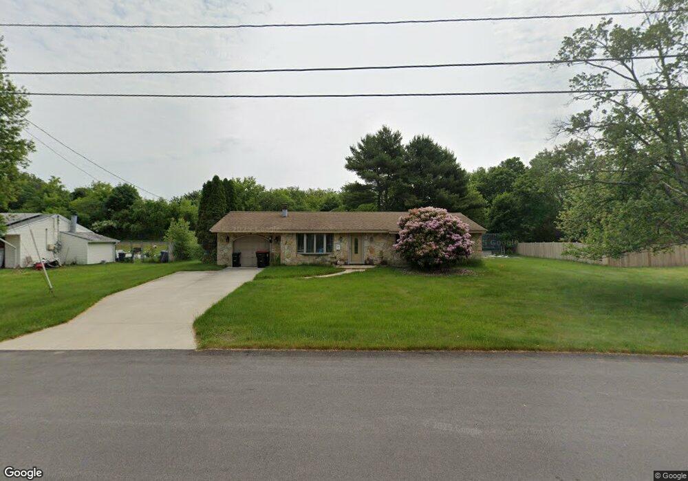
253 Southfield Dr Brockton, MA 02302
Estimated Value: $450,000 - $488,000
3
Beds
1
Bath
1,008
Sq Ft
$465/Sq Ft
Est. Value
About This Home
This home is located at 253 Southfield Dr, Brockton, MA 02302 and is currently estimated at $468,720, approximately $465 per square foot. 253 Southfield Dr is a home located in Plymouth County with nearby schools including Davis K-8 School, John F. Kennedy Elementary School, and South Middle School.
Ownership History
Date
Name
Owned For
Owner Type
Purchase Details
Closed on
Oct 30, 1987
Sold by
Henry Robert F
Bought by
Bittle Lewis C
Current Estimated Value
Home Financials for this Owner
Home Financials are based on the most recent Mortgage that was taken out on this home.
Original Mortgage
$89,200
Interest Rate
10.97%
Mortgage Type
Purchase Money Mortgage
Create a Home Valuation Report for This Property
The Home Valuation Report is an in-depth analysis detailing your home's value as well as a comparison with similar homes in the area
Home Values in the Area
Average Home Value in this Area
Purchase History
| Date | Buyer | Sale Price | Title Company |
|---|---|---|---|
| Bittle Lewis C | $111,500 | -- |
Source: Public Records
Mortgage History
| Date | Status | Borrower | Loan Amount |
|---|---|---|---|
| Open | Bittle Lewis C | $84,000 | |
| Closed | Bittle Lewis C | $89,200 | |
| Previous Owner | Bittle Lewis C | $30,000 |
Source: Public Records
Tax History Compared to Growth
Tax History
| Year | Tax Paid | Tax Assessment Tax Assessment Total Assessment is a certain percentage of the fair market value that is determined by local assessors to be the total taxable value of land and additions on the property. | Land | Improvement |
|---|---|---|---|---|
| 2025 | $4,584 | $378,500 | $167,000 | $211,500 |
| 2024 | $4,521 | $376,100 | $167,000 | $209,100 |
| 2023 | $4,300 | $331,300 | $117,800 | $213,500 |
| 2022 | $4,206 | $301,100 | $107,100 | $194,000 |
| 2021 | $3,947 | $272,200 | $100,000 | $172,200 |
| 2020 | $4,048 | $267,200 | $87,100 | $180,100 |
| 2019 | $3,574 | $230,000 | $83,700 | $146,300 |
| 2018 | $3,525 | $219,500 | $83,700 | $135,800 |
| 2017 | $2,954 | $183,500 | $83,700 | $99,800 |
| 2016 | $3,193 | $183,900 | $79,900 | $104,000 |
| 2015 | $2,960 | $163,100 | $79,900 | $83,200 |
| 2014 | $2,921 | $161,100 | $79,900 | $81,200 |
Source: Public Records
Map
Nearby Homes
- 261 Southfield Dr
- 245 Southfield Dr
- 256 Southfield Dr
- 269 Southfield Dr
- 237 Southfield Dr
- 76 Nessralla Dr
- 79 Hopkins Rd
- 230 Southfield Dr
- 277 Southfield Dr
- 229 Southfield Dr
- 69 Hopkins Rd
- 80 Hopkins Rd
- 68 Nessralla Dr
- 63 Nessralla Dr
- 72 Hopkins Rd
- 285 Southfield Dr
- 221 Southfield Dr
- 220 Southfield Dr
- 79 Heath St
- 64 Hopkins Rd