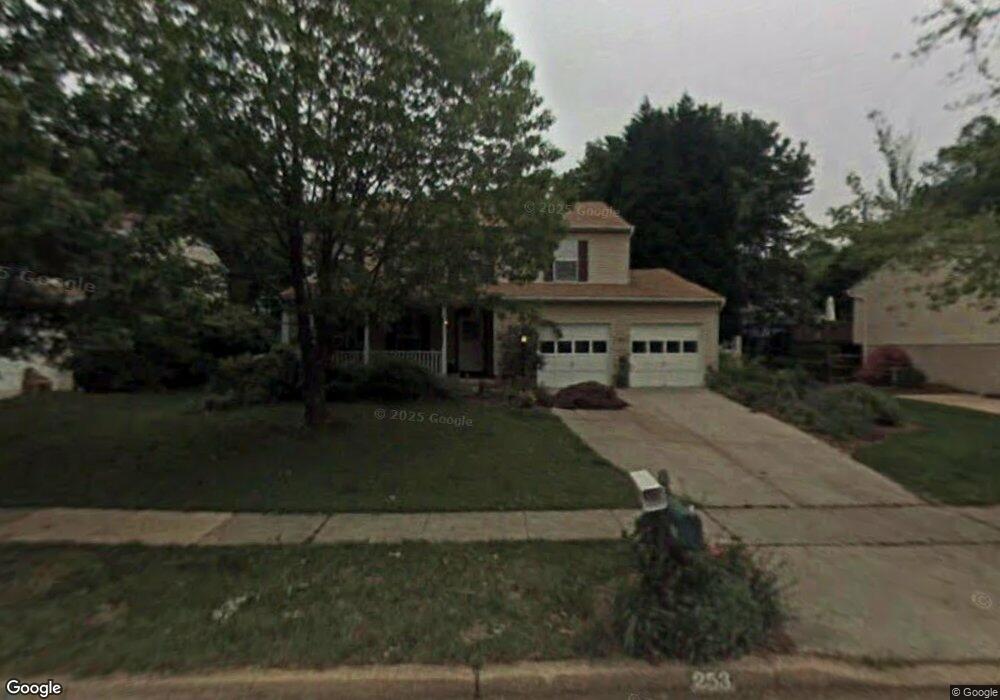
253 Way Cross Way Arnold, MD 21012
Estimated Value: $564,000 - $673,000
Studio
3
Baths
1,728
Sq Ft
$353/Sq Ft
Est. Value
About This Home
This home is located at 253 Way Cross Way, Arnold, MD 21012 and is currently estimated at $610,659, approximately $353 per square foot. 253 Way Cross Way is a home located in Anne Arundel County with nearby schools including Arnold Elementary School, Severn River Middle School, and Broadneck High School.
Ownership History
Date
Name
Owned For
Owner Type
Purchase Details
Closed on
May 30, 2008
Sold by
Quinn Barbara E
Bought by
Quinn Barbara E
Current Estimated Value
Purchase Details
Closed on
May 6, 2008
Sold by
Quinn Barbara E
Bought by
Quinn Barbara E
Purchase Details
Closed on
Dec 28, 2001
Sold by
O'Dea Leo A
Bought by
Quinn Barbara E
Purchase Details
Closed on
Aug 21, 1996
Sold by
Spriggs Gilbert R
Bought by
O'Dea Leo A and O'Dea Muriel C
Create a Home Valuation Report for This Property
The Home Valuation Report is an in-depth analysis detailing your home's value as well as a comparison with similar homes in the area
Home Values in the Area
Average Home Value in this Area
Purchase History
| Date | Buyer | Sale Price | Title Company |
|---|---|---|---|
| Quinn Barbara E | -- | -- | |
| Quinn Barbara E | -- | -- | |
| Quinn Barbara E | $240,000 | -- | |
| O'Dea Leo A | $162,500 | -- |
Source: Public Records
Mortgage History
| Date | Status | Borrower | Loan Amount |
|---|---|---|---|
| Closed | Quinn Barbara E | -- |
Source: Public Records
Tax History
| Year | Tax Paid | Tax Assessment Tax Assessment Total Assessment is a certain percentage of the fair market value that is determined by local assessors to be the total taxable value of land and additions on the property. | Land | Improvement |
|---|---|---|---|---|
| 2025 | $3,712 | $471,700 | -- | -- |
| 2024 | $3,712 | $436,200 | $254,100 | $182,100 |
| 2023 | $3,613 | $428,433 | $0 | $0 |
| 2022 | $4,396 | $420,667 | $0 | $0 |
| 2020 | $3,223 | $399,800 | $0 | $0 |
| 2019 | $6,194 | $386,700 | $0 | $0 |
| 2018 | $3,788 | $373,600 | $176,800 | $196,800 |
| 2017 | $2,969 | $357,967 | $0 | $0 |
| 2016 | -- | $342,333 | $0 | $0 |
| 2015 | -- | $326,700 | $0 | $0 |
| 2014 | -- | $326,700 | $0 | $0 |
Source: Public Records
Map
Nearby Homes
- 1078 Brightleaf Ct
- 394 Kings College Dr
- 303 Ternwing Dr
- 276 Overleaf Dr
- 136 Collington Ct
- 1232 Taylor Ave
- 1294 Circle Dr
- 1350 Ritchie Hwy
- 1277 Ritchie Hwy Unit 195
- 1199 Asquithpines Place
- 371 Freshfield Ln
- 208 Admirals Ct
- 1394 Baltimore Annapolis Blvd
- 539 Greenblades Ct
- 1420 Gilbert Rd
- 1396 Baltimore Annapolis Blvd
- 1420 Mariner Dr
- 1419 Mariner Dr
- 1159 Greenhill Rd
- 559 Melissa Ct
- 255 Waycross Way
- 255 Way Cross Way
- 251 Way Cross Way
- 267 Foxfire Ct
- 256 Ridgecross Ct
- 258 Ridgecross Ct
- 250 Way Cross Way
- 252 Way Cross Way
- 269 Foxfire Ct
- 248 Way Cross Way
- 254 Way Cross Way
- 263 Way Cross Way
- 260 Ridgecross Ct
- 268 Foxfire Ct
- 256 Way Cross Way
- 270 Foxfire Ct
- 266 Foxfire Ct
- 429 Wickliff Place
- 427 Wickliff Place
- 251 Free Haven Way
Your Personal Tour Guide
Ask me questions while you tour the home.