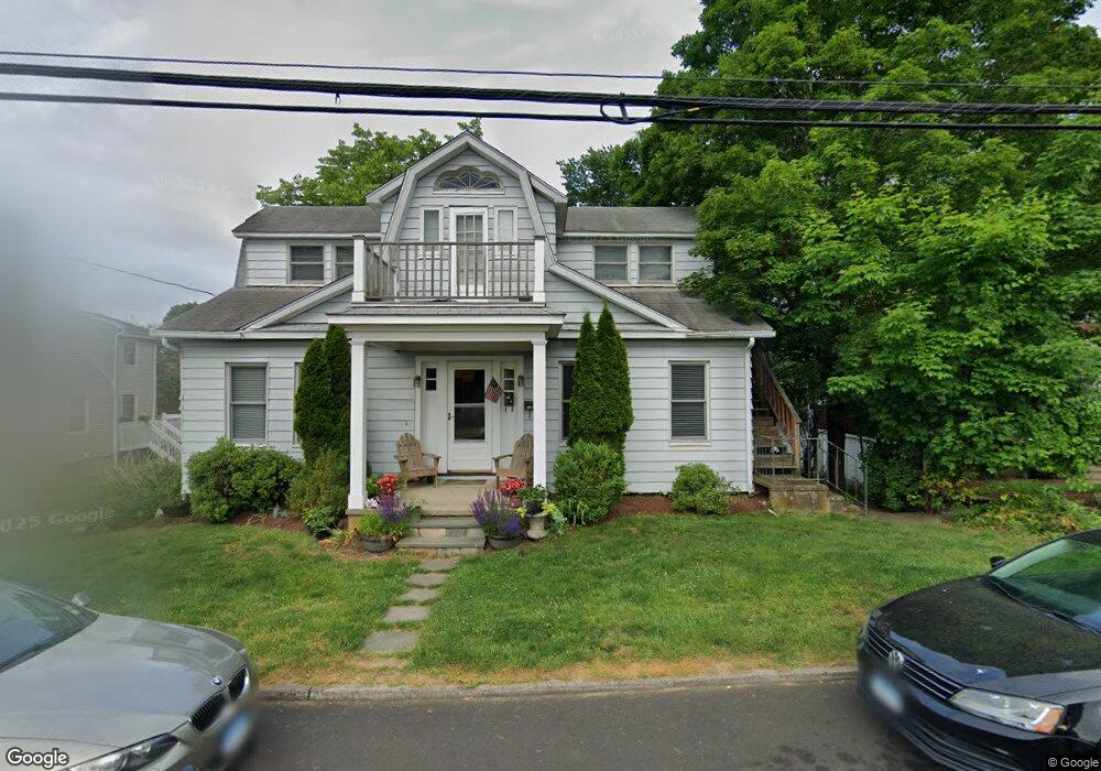
253 Woodrow Ave Unit 1 Southport, CT 06890
Southport NeighborhoodEstimated Value: $588,000 - $880,010
2
Beds
1
Bath
850
Sq Ft
$869/Sq Ft
Est. Value
About This Home
This home is located at 253 Woodrow Ave Unit 1, Southport, CT 06890 and is currently estimated at $738,753, approximately $869 per square foot. 253 Woodrow Ave Unit 1 is a home located in Fairfield County with nearby schools including Mill Hill School, Roger Ludlowe Middle School, and Fairfield Ludlowe High School.
Ownership History
Date
Name
Owned For
Owner Type
Purchase Details
Closed on
Nov 9, 2009
Sold by
Michalek Karen M and Moores Barbara J
Bought by
Bletsas Yarifalia
Current Estimated Value
Home Financials for this Owner
Home Financials are based on the most recent Mortgage that was taken out on this home.
Original Mortgage
$284,400
Interest Rate
5.06%
Create a Home Valuation Report for This Property
The Home Valuation Report is an in-depth analysis detailing your home's value as well as a comparison with similar homes in the area
Home Values in the Area
Average Home Value in this Area
Purchase History
| Date | Buyer | Sale Price | Title Company |
|---|---|---|---|
| Bletsas Yarifalia | $355,500 | -- | |
| Bletsas Yarifalia | $355,500 | -- |
Source: Public Records
Mortgage History
| Date | Status | Borrower | Loan Amount |
|---|---|---|---|
| Open | Bletsas Yarifalia | $281,500 | |
| Closed | Bletsas Yarifalia | $284,400 |
Source: Public Records
Tax History Compared to Growth
Tax History
| Year | Tax Paid | Tax Assessment Tax Assessment Total Assessment is a certain percentage of the fair market value that is determined by local assessors to be the total taxable value of land and additions on the property. | Land | Improvement |
|---|---|---|---|---|
| 2025 | $9,740 | $343,070 | $239,890 | $103,180 |
| 2024 | $9,572 | $343,070 | $239,890 | $103,180 |
| 2023 | $9,438 | $343,070 | $239,890 | $103,180 |
| 2022 | $9,345 | $343,070 | $239,890 | $103,180 |
| 2021 | $9,256 | $343,070 | $239,890 | $103,180 |
| 2020 | $8,360 | $312,060 | $237,370 | $74,690 |
| 2019 | $8,360 | $312,060 | $237,370 | $74,690 |
| 2018 | $8,226 | $312,060 | $237,370 | $74,690 |
| 2017 | $8,057 | $312,060 | $237,370 | $74,690 |
| 2016 | $7,942 | $312,060 | $237,370 | $74,690 |
| 2015 | $8,296 | $334,670 | $258,370 | $76,300 |
| 2014 | $8,166 | $334,670 | $258,370 | $76,300 |
Source: Public Records
Map
Nearby Homes
- 153 Pease Ave
- 56 Southport Woods Dr
- 2 Elmwood Dr Unit 2
- 60 Hulls Hwy Unit 60
- 844 Mill Hill Terrace
- 478 Hulls Hwy
- 74 Westford Dr
- 53 Hilltop Dr
- 260 Range Rd
- 6 Sunny Acres Ln
- 400 Bronson Rd
- 944 Pequot Ave
- 305 S Gate Ln
- 1135 Mill Hill Rd
- 260 Willow St
- 647 Bronson Rd
- 88 Overhill Rd
- 125 Old Rd
- 144 Lansdowne Unit 144
- 365 Greens Farms Rd
- 253 Woodrow Ave
- 255 Woodrow Ave Unit 2
- 237 Woodrow Ave
- 254 Woodrow Ave
- 271 Woodrow Ave
- 231 Woodrow Ave
- 228 Woodrow Ave
- 272 Woodrow Ave
- 128 Southport Woods Dr
- LOT C Woodrow Ave
- Lot 2 Woodrow Ave
- 122 Southport Woods Dr
- 160 Southport Woods Dr
- 120 Southport Woods Dr
- 158 Southport Woods Dr
- 240 Woodrow Ave
- 285 Woodrow Ave
- 221 Woodrow Ave
- 142 Southport Woods Dr
- 152 Southport Woods Dr