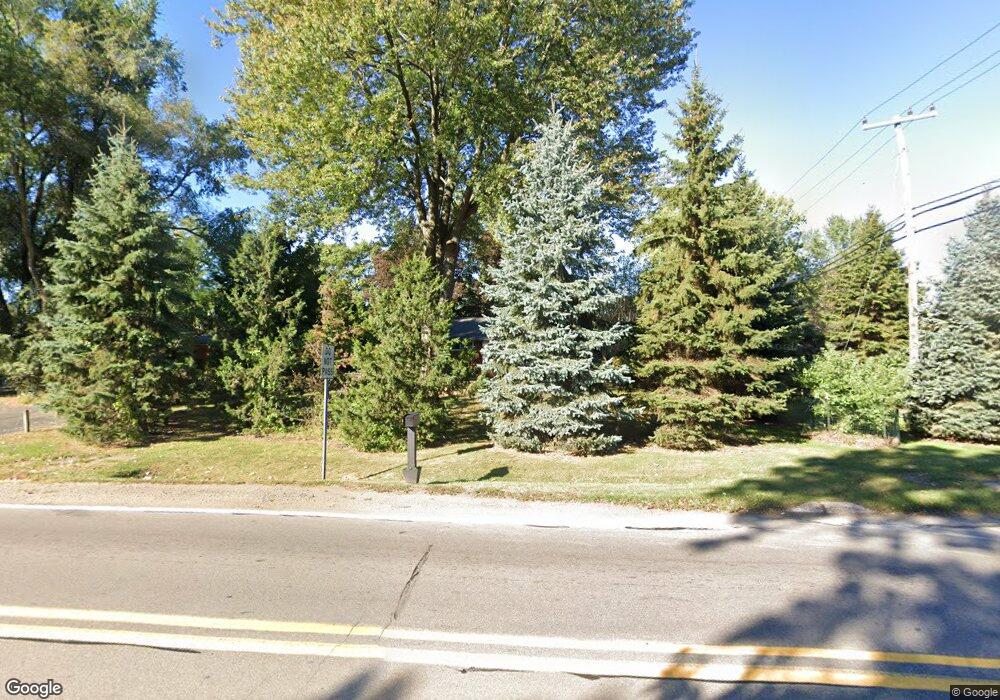
2530 Middlebelt Rd West Bloomfield, MI 48324
Estimated Value: $293,000 - $318,549
2
Beds
2
Baths
1,187
Sq Ft
$260/Sq Ft
Est. Value
About This Home
This home is located at 2530 Middlebelt Rd, West Bloomfield, MI 48324 and is currently estimated at $308,387, approximately $259 per square foot. 2530 Middlebelt Rd is a home located in Oakland County with nearby schools including Walt Whitman Elementary School, Pontiac Middle School, and Pontiac High School.
Ownership History
Date
Name
Owned For
Owner Type
Purchase Details
Closed on
May 29, 2024
Sold by
Hannon Dennis J and Hannon Linda A
Bought by
Hannon Dennis J and Hannon Linda A
Current Estimated Value
Purchase Details
Closed on
May 16, 2003
Sold by
Presson Joseph E
Bought by
Hannon Michael D and Hannon Karen M
Create a Home Valuation Report for This Property
The Home Valuation Report is an in-depth analysis detailing your home's value as well as a comparison with similar homes in the area
Home Values in the Area
Average Home Value in this Area
Purchase History
| Date | Buyer | Sale Price | Title Company |
|---|---|---|---|
| Hannon Dennis J | -- | None Listed On Document | |
| Hannon Michael D | $195,000 | -- |
Source: Public Records
Tax History Compared to Growth
Tax History
| Year | Tax Paid | Tax Assessment Tax Assessment Total Assessment is a certain percentage of the fair market value that is determined by local assessors to be the total taxable value of land and additions on the property. | Land | Improvement |
|---|---|---|---|---|
| 2024 | $1,322 | $117,950 | $0 | $0 |
| 2022 | $1,261 | $102,220 | $36,180 | $66,040 |
| 2021 | $2,074 | $94,250 | $0 | $0 |
| 2020 | $1,150 | $93,830 | $36,180 | $57,650 |
| 2018 | $1,965 | $87,910 | $36,000 | $51,910 |
| 2015 | -- | $66,990 | $0 | $0 |
| 2014 | -- | $62,490 | $0 | $0 |
| 2011 | -- | $60,530 | $0 | $0 |
Source: Public Records
Map
Nearby Homes
- 2665 Middlebelt Rd
- 2622 Pine Ridge Rd
- 2360 Pineview
- 2230 Middlebelt Rd
- 2216 Middlebelt Rd
- 2121 Uplong St
- 2630 Depew Dr
- 2300 Pine Lake Rd
- 2372 Pine Lake Rd
- 2468 Walce Dr
- 2954 Long Ridge Ct
- 2084 Woodrow Wilson Blvd Unit A6
- 2411 Pine Lake Ave
- 2918 Nagle Ct
- 3668 Bayou Dr
- 1831 Long Pointe Dr
- 1968 Maplewood Ave
- 2329 Fordham St
- 1796 Briarcliff St
- 2952 Prynne St
- 2550 Middlebelt Rd
- 2529 Saint Joseph St
- 2549 Saint Joseph St
- 2570 Middlebelt Rd
- 2496 Middlebelt Rd
- 2569 Saint Joseph St
- 2495 Saint Joseph St
- 2482 Middlebelt Rd
- 2590 Middlebelt Rd
- 2481 Saint Joseph St
- 2541 Middlebelt Rd
- 2589 Saint Joseph St
- 2557 Middlebelt Rd
- 2269 W Square Lake Rd
- 2532 Saint Joseph St
- 2468 Middlebelt Rd
- 2260 W Square Lake Rd
- 2550 Saint Joseph St
- 2469 Saint Joseph St
- 2620 Middlebelt Rd