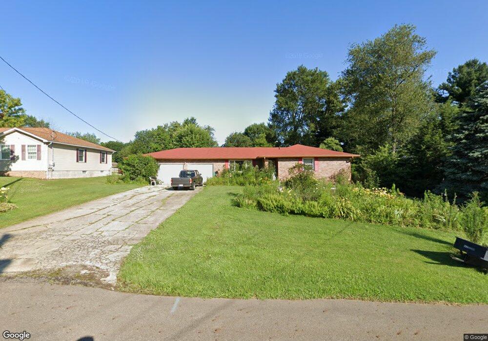
2531 Bryonaire Rd Mansfield, OH 44903
Estimated Value: $158,000 - $234,540
3
Beds
2
Baths
1,380
Sq Ft
$154/Sq Ft
Est. Value
About This Home
This home is located at 2531 Bryonaire Rd, Mansfield, OH 44903 and is currently estimated at $212,885, approximately $154 per square foot. 2531 Bryonaire Rd is a home located in Richland County with nearby schools including Madison High School, St. Mary Catholic School, and Temple-Christian School.
Ownership History
Date
Name
Owned For
Owner Type
Purchase Details
Closed on
Apr 19, 2002
Sold by
Est Robert L Stanforth
Bought by
Brown Irene L and Steggall Louise M
Current Estimated Value
Home Financials for this Owner
Home Financials are based on the most recent Mortgage that was taken out on this home.
Original Mortgage
$83,900
Outstanding Balance
$35,078
Interest Rate
6.93%
Mortgage Type
New Conventional
Estimated Equity
$177,807
Create a Home Valuation Report for This Property
The Home Valuation Report is an in-depth analysis detailing your home's value as well as a comparison with similar homes in the area
Home Values in the Area
Average Home Value in this Area
Purchase History
| Date | Buyer | Sale Price | Title Company |
|---|---|---|---|
| Brown Irene L | $113,900 | -- |
Source: Public Records
Mortgage History
| Date | Status | Borrower | Loan Amount |
|---|---|---|---|
| Open | Brown Irene L | $83,900 |
Source: Public Records
Tax History Compared to Growth
Tax History
| Year | Tax Paid | Tax Assessment Tax Assessment Total Assessment is a certain percentage of the fair market value that is determined by local assessors to be the total taxable value of land and additions on the property. | Land | Improvement |
|---|---|---|---|---|
| 2024 | $2,436 | $58,040 | $4,530 | $53,510 |
| 2023 | $2,436 | $58,040 | $4,530 | $53,510 |
| 2022 | $1,728 | $40,280 | $3,630 | $36,650 |
| 2021 | $1,727 | $40,280 | $3,630 | $36,650 |
| 2020 | $1,741 | $40,280 | $3,630 | $36,650 |
| 2019 | $1,502 | $34,140 | $3,080 | $31,060 |
| 2018 | $1,696 | $34,140 | $3,080 | $31,060 |
| 2017 | $1,705 | $34,140 | $3,080 | $31,060 |
| 2016 | $1,742 | $34,100 | $2,920 | $31,180 |
| 2015 | $1,717 | $34,100 | $2,920 | $31,180 |
| 2014 | $1,712 | $34,100 | $2,920 | $31,180 |
| 2012 | $842 | $35,900 | $3,080 | $32,820 |
Source: Public Records
Map
Nearby Homes
- 0 Satinwood Dr
- 2495 Emma Ln
- 630 Impala Dr
- 598 Impala Dr
- 2641 State Route 430
- 2270 Lakecrest Dr Unit 2272
- 2750 Lutz Ave
- 640 Running Brook Way
- 0 McBride Road Parcel # 1 Unit 9066028
- 609 Mcbride Rd
- 641 Laver Rd
- 0 Peterson Rd
- 1910 Crider Rd
- 1997 Hout Rd
- 1951 Woodmont Rd
- 1806 Richard Dr
- 2331 Fleming Falls Rd
- 76 Ford Rd N
- 76 Ford Rd N Unit 20
- 0 Mcelroy Rd
- 2525 Bryonaire Dr
- 2525 Bryonaire Rd
- 2521 Bryonaire Rd
- 2550 Wedgewood Dr
- 2250 Wedgewood Dr
- 2560 Wedgewood Dr
- 2524 Bryonaire Dr
- 2530 Wedgewood Dr
- 2530 Bryonaire Rd
- 2536 Bryonaire Rd
- 2515 Bryonaire Rd
- 2524 Bryonaire Rd
- 2538 Bryonaire Rd
- 2542 Bryonaire Dr
- 2520 Wedgewood Dr
- 2520 Bryonaire Rd
- 2542 Bryonaire Rd
- 2513 Bryonaire Rd
- 2513 Bryonaire Dr
- 2512 Wedgewood Dr