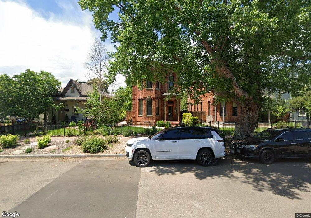
2531 Curtis St Denver, CO 80205
Five Points NeighborhoodEstimated Value: $988,851 - $1,227,000
2
Beds
1
Bath
1,200
Sq Ft
$935/Sq Ft
Est. Value
About This Home
This home is located at 2531 Curtis St, Denver, CO 80205 and is currently estimated at $1,121,463, approximately $934 per square foot. 2531 Curtis St is a home located in Denver County with nearby schools including Whittier ECE-8 School, Cole Arts & Science Academy, and McAuliffe Manual Middle School.
Ownership History
Date
Name
Owned For
Owner Type
Purchase Details
Closed on
May 28, 2010
Sold by
Thurgood Susan M and Thurgood Jolyon D
Bought by
White David K and Smith Patricia J
Current Estimated Value
Home Financials for this Owner
Home Financials are based on the most recent Mortgage that was taken out on this home.
Original Mortgage
$252,000
Outstanding Balance
$169,139
Interest Rate
5%
Mortgage Type
New Conventional
Estimated Equity
$952,324
Purchase Details
Closed on
Feb 19, 1999
Sold by
Abelgassen Belhage Mustafa
Bought by
Thurgood Susan M and Thurgood Jolyon D
Home Financials for this Owner
Home Financials are based on the most recent Mortgage that was taken out on this home.
Original Mortgage
$144,000
Interest Rate
6.78%
Create a Home Valuation Report for This Property
The Home Valuation Report is an in-depth analysis detailing your home's value as well as a comparison with similar homes in the area
Home Values in the Area
Average Home Value in this Area
Purchase History
| Date | Buyer | Sale Price | Title Company |
|---|---|---|---|
| White David K | $360,000 | Land Title Guarantee Company | |
| Thurgood Susan M | $160,000 | Land Title |
Source: Public Records
Mortgage History
| Date | Status | Borrower | Loan Amount |
|---|---|---|---|
| Open | White David K | $252,000 | |
| Previous Owner | Thurgood Susan M | $144,000 |
Source: Public Records
Tax History Compared to Growth
Tax History
| Year | Tax Paid | Tax Assessment Tax Assessment Total Assessment is a certain percentage of the fair market value that is determined by local assessors to be the total taxable value of land and additions on the property. | Land | Improvement |
|---|---|---|---|---|
| 2024 | $5,558 | $70,180 | $21,460 | $48,720 |
| 2023 | $5,438 | $70,180 | $21,460 | $48,720 |
| 2022 | $5,174 | $65,060 | $30,970 | $34,090 |
| 2021 | $5,174 | $66,930 | $31,860 | $35,070 |
| 2020 | $4,185 | $56,410 | $23,480 | $32,930 |
| 2019 | $4,068 | $56,410 | $23,480 | $32,930 |
| 2018 | $3,384 | $43,740 | $20,270 | $23,470 |
| 2017 | $2,735 | $35,460 | $20,270 | $15,190 |
| 2016 | $2,461 | $30,180 | $14,933 | $15,247 |
| 2015 | $2,358 | $30,180 | $14,933 | $15,247 |
| 2014 | $1,561 | $18,800 | $10,125 | $8,675 |
Source: Public Records
Map
Nearby Homes
- 2525 Arapahoe St Unit RD315
- 2525 Arapahoe St Unit 213
- 2550 Lawrence St Unit RB306
- 2550 Lawrence St Unit RB204
- 1150 26th St
- 1019 26th St
- 2496 Champa St
- 2524 Champa St Unit 4
- 2400 N Broadway Unit 4
- 2500 Walnut St Unit 202
- 2500 Walnut St Unit 201
- 2721 Curtis St
- 2641 Stout St
- 2256 Curtis St
- 2815 Curtis St
- 2560 Blake St Unit 205
- 709 27th St
- 2801 Lawrence St
- 1016 28th St
- 2731 California St
- 2537 Curtis St
- 2525 Curtis St
- 2523 Curtis St
- 2541 Curtis St
- 2517 Curtis St
- 2515 Curtis St
- 2530 Arapahoe St
- 1035 25th St
- 1065 25th St
- 2534 Arapahoe St
- 2501 Curtis St
- 2524 Arapahoe St
- 2500 Arapahoe St
- 1065 25th St Unit A
- 1065 25th St
- 1035 25th St
- 1045 25th St
- 2542 Arapahoe St
- 2546 Arapahoe St
- 2550 Arapahoe St