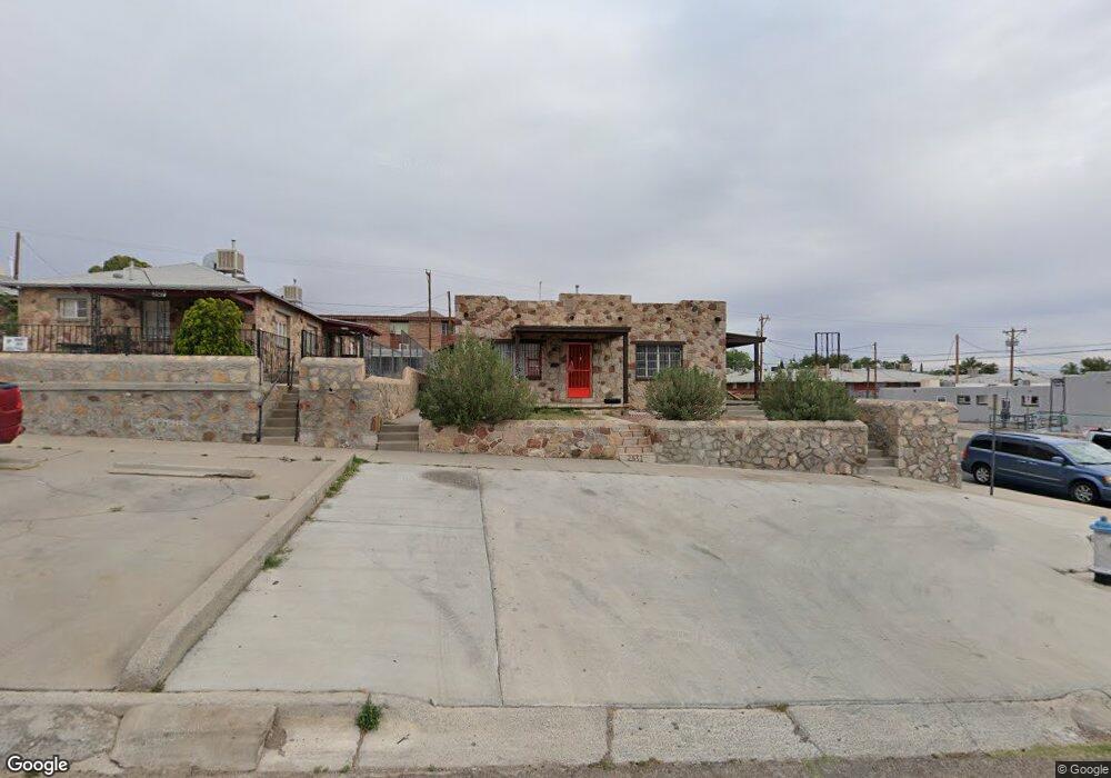
2531 Fort Blvd Unit 2531 1/2 El Paso, TX 79930
Central NeighborhoodEstimated Value: $199,580 - $339,000
4
Beds
2
Baths
1,440
Sq Ft
$193/Sq Ft
Est. Value
About This Home
This home is located at 2531 Fort Blvd Unit 2531 1/2, El Paso, TX 79930 and is currently estimated at $278,145, approximately $193 per square foot. 2531 Fort Blvd Unit 2531 1/2 is a home located in El Paso County with nearby schools including Clendenin Elementary School, Middle School-5 NW Middle, and Austin High School.
Ownership History
Date
Name
Owned For
Owner Type
Purchase Details
Closed on
Mar 20, 2003
Sold by
Rios Ramiro and Rios Christina I
Bought by
Dieter Edward P and Dieter Janice
Current Estimated Value
Home Financials for this Owner
Home Financials are based on the most recent Mortgage that was taken out on this home.
Original Mortgage
$44,550
Interest Rate
5.77%
Mortgage Type
Purchase Money Mortgage
Create a Home Valuation Report for This Property
The Home Valuation Report is an in-depth analysis detailing your home's value as well as a comparison with similar homes in the area
Home Values in the Area
Average Home Value in this Area
Purchase History
| Date | Buyer | Sale Price | Title Company |
|---|---|---|---|
| Dieter Edward P | -- | -- |
Source: Public Records
Mortgage History
| Date | Status | Borrower | Loan Amount |
|---|---|---|---|
| Closed | Dieter Edward P | $44,550 |
Source: Public Records
Tax History Compared to Growth
Tax History
| Year | Tax Paid | Tax Assessment Tax Assessment Total Assessment is a certain percentage of the fair market value that is determined by local assessors to be the total taxable value of land and additions on the property. | Land | Improvement |
|---|---|---|---|---|
| 2025 | $3,233 | $140,000 | $26,173 | $113,827 |
| 2024 | $3,233 | $140,000 | $26,173 | $113,827 |
| 2023 | $2,871 | $103,800 | $15,579 | $88,221 |
| 2022 | $2,543 | $85,900 | $15,579 | $70,321 |
| 2021 | $2,682 | $85,900 | $15,579 | $70,321 |
| 2020 | $2,229 | $72,534 | $15,579 | $56,955 |
| 2018 | $2,147 | $72,534 | $15,579 | $56,955 |
| 2017 | $2,012 | $71,420 | $15,579 | $55,841 |
| 2016 | $2,334 | $82,857 | $15,579 | $67,278 |
| 2015 | $2,267 | $82,857 | $15,579 | $67,278 |
| 2014 | $2,267 | $82,857 | $15,579 | $67,278 |
Source: Public Records
Map
Nearby Homes
- PN-258825 Tbd
- PN-391630 Alabama St
- 2816 N Piedras St
- 3027 Morehead Ave
- 3031 Fort Blvd
- 2917 Mobile Ave
- 3904 N Piedras St Unit A-B
- 3018 Sacramento Ave
- 3125 Hamilton Ave
- 2610 Frankfort Ave
- 3021 Monroe Ave
- 2903 Savannah Ave
- 3215 Mobile Ave
- 3104 Van Buren Ave
- 3009 Savannah Ave
- 2801 Polk Ave
- 2704 Taylor Ave
- 3204 Memphis Ave
- 3327 Mobile Ave
- 2300 Red Sky Ln
- 2527 Fort Blvd Unit 2527 1/2
- 2527 Fort Blvd Unit A
- 2527 Fort Blvd Unit C
- 2527 Fort Blvd
- 2523 Fort Blvd
- 2523 Fort Blvd
- 2601 Fort Blvd
- 2601 Fort Blvd
- 2601 Fort Blvd
- 2519 Fort Blvd Unit 2519 1/2
- 2515 Fort Blvd
- 2524 Morehead Ave
- 2609 Fort Blvd
- 2511 1/2 Fort Blvd
- 2511 Fort Blvd Unit 1
- 2613 Fort Blvd
- 2600 Morehead Ave
- 2619 Fort Blvd
- 2535 Morehead Ave
- 2531 Morehead Ave