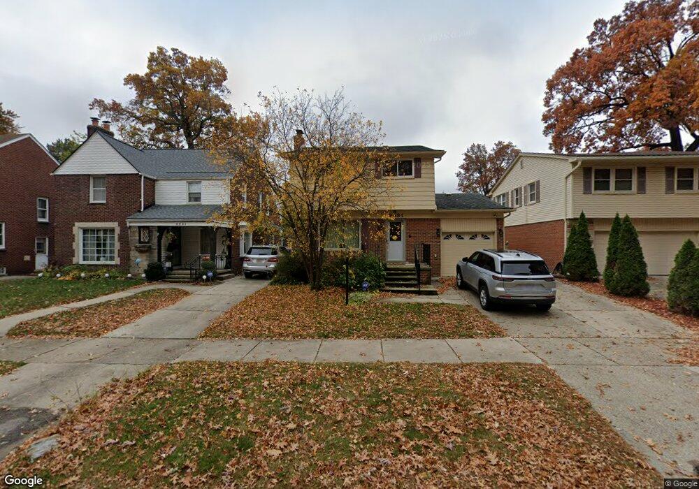
2531 Woodstock Dr Highland Park, MI 48203
Green Acres NeighborhoodEstimated Value: $99,000 - $238,419
--
Bed
2
Baths
1,034
Sq Ft
$163/Sq Ft
Est. Value
About This Home
This home is located at 2531 Woodstock Dr, Highland Park, MI 48203 and is currently estimated at $168,105, approximately $162 per square foot. 2531 Woodstock Dr is a home located in Wayne County with nearby schools including Pasteur Elementary School, Charles L. Spain Elementary-Middle School, and Edward 'Duke' Ellington Conservatory of Music and Art.
Ownership History
Date
Name
Owned For
Owner Type
Purchase Details
Closed on
Sep 13, 2016
Sold by
Sharp Stacey M and Parrish Stacey M
Bought by
Sharp Damon P
Current Estimated Value
Purchase Details
Closed on
Nov 12, 2004
Sold by
Sharp Rene A
Bought by
Sharp Rene A
Home Financials for this Owner
Home Financials are based on the most recent Mortgage that was taken out on this home.
Original Mortgage
$85,000
Interest Rate
6.12%
Mortgage Type
New Conventional
Create a Home Valuation Report for This Property
The Home Valuation Report is an in-depth analysis detailing your home's value as well as a comparison with similar homes in the area
Home Values in the Area
Average Home Value in this Area
Purchase History
| Date | Buyer | Sale Price | Title Company |
|---|---|---|---|
| Sharp Damon P | $70,000 | None Available | |
| Sharp Rene A | -- | -- |
Source: Public Records
Mortgage History
| Date | Status | Borrower | Loan Amount |
|---|---|---|---|
| Previous Owner | Sharp Rene A | $85,000 |
Source: Public Records
Tax History Compared to Growth
Tax History
| Year | Tax Paid | Tax Assessment Tax Assessment Total Assessment is a certain percentage of the fair market value that is determined by local assessors to be the total taxable value of land and additions on the property. | Land | Improvement |
|---|---|---|---|---|
| 2025 | $190 | $6,600 | $0 | $0 |
| 2024 | $190 | $6,300 | $0 | $0 |
| 2023 | $185 | $6,300 | $0 | $0 |
| 2022 | $207 | $6,200 | $0 | $0 |
| 2021 | $201 | $6,200 | $0 | $0 |
| 2020 | $438 | $6,200 | $0 | $0 |
| 2019 | $194 | $6,200 | $0 | $0 |
| 2018 | $159 | $2,700 | $0 | $0 |
| 2017 | $51 | $26,800 | $0 | $0 |
| 2016 | $2,449 | $30,300 | $0 | $0 |
| 2015 | $3,168 | $32,800 | $0 | $0 |
| 2013 | $3,069 | $34,518 | $0 | $0 |
| 2010 | -- | $47,910 | $1,600 | $46,310 |
Source: Public Records
Map
Nearby Homes
- 2545 Woodstock Dr
- 2564 Woodstock Dr
- 2444 Woodstock Dr
- 168 W Bennett
- 457 W Bennett
- 482 W 8 Mile Rd
- 2836 Woodstock Dr
- 243 W Webster St
- 295 W Webster St
- 243 Edgewood Place
- 210 Saint Louis St
- 260 Fielding St
- 261 E Webster St
- 378 Fielding St
- 250 Spencer St
- 259 Spencer St
- 19960 Lichfield Rd
- 301 Spencer St
- 454 Hilton Rd
- 20201 Stratford Rd
- 2537 Woodstock Dr
- 2521 Woodstock Dr
- 2521 Woodstock Dr
- 2511 Woodstock Dr
- 2501 Woodstock Dr
- 2557 Woodstock Dr
- 2481 Woodstock Dr
- 2520 Woodstock Dr
- 2530 Woodstock Dr Unit Bldg-Unit
- 2530 Woodstock Dr
- 2510 Woodstock Dr
- 2540 Woodstock Dr
- 2575 Woodstock Dr
- 2471 Woodstock Dr
- 2500 Woodstock Dr
- 2548 Woodstock Dr
- 2554 Woodstock Dr
- 2581 Woodstock Dr
- 2465 Woodstock Dr
- 2466 Woodstock Dr