25315 SW Graves Rd Sheridan, OR 97378
Estimated Value: $742,000 - $898,000
4
Beds
2
Baths
3,120
Sq Ft
$259/Sq Ft
Est. Value
About This Home
This home is located at 25315 SW Graves Rd, Sheridan, OR 97378 and is currently estimated at $809,037, approximately $259 per square foot. 25315 SW Graves Rd is a home located in Yamhill County with nearby schools including Faulconer-Chapman School and Sheridan High School.
Ownership History
Date
Name
Owned For
Owner Type
Purchase Details
Closed on
May 13, 2010
Sold by
Peterson Jeff D and Peterson Judy Mohr
Bought by
Burke Scott A and Burke Elaine M
Current Estimated Value
Home Financials for this Owner
Home Financials are based on the most recent Mortgage that was taken out on this home.
Original Mortgage
$348,570
Outstanding Balance
$236,946
Interest Rate
5.5%
Mortgage Type
FHA
Estimated Equity
$572,091
Create a Home Valuation Report for This Property
The Home Valuation Report is an in-depth analysis detailing your home's value as well as a comparison with similar homes in the area
Home Values in the Area
Average Home Value in this Area
Purchase History
| Date | Buyer | Sale Price | Title Company |
|---|---|---|---|
| Burke Scott A | $355,000 | Western Title & Escrow |
Source: Public Records
Mortgage History
| Date | Status | Borrower | Loan Amount |
|---|---|---|---|
| Open | Burke Scott A | $348,570 |
Source: Public Records
Tax History Compared to Growth
Tax History
| Year | Tax Paid | Tax Assessment Tax Assessment Total Assessment is a certain percentage of the fair market value that is determined by local assessors to be the total taxable value of land and additions on the property. | Land | Improvement |
|---|---|---|---|---|
| 2025 | $3,639 | $318,587 | -- | -- |
| 2024 | $3,308 | $309,426 | -- | -- |
| 2023 | $3,214 | $300,533 | $0 | $0 |
| 2022 | $3,127 | $291,901 | $0 | $0 |
| 2021 | $3,641 | $283,517 | $0 | $0 |
| 2020 | $3,517 | $275,380 | $0 | $0 |
| 2019 | $3,463 | $267,477 | $0 | $0 |
| 2018 | $3,367 | $259,807 | $0 | $0 |
| 2017 | $3,298 | $251,244 | $0 | $0 |
| 2016 | $3,203 | $244,014 | $0 | $0 |
| 2015 | $3,117 | $236,910 | $0 | $0 |
| 2014 | $3,030 | $230,014 | $0 | $0 |
Source: Public Records
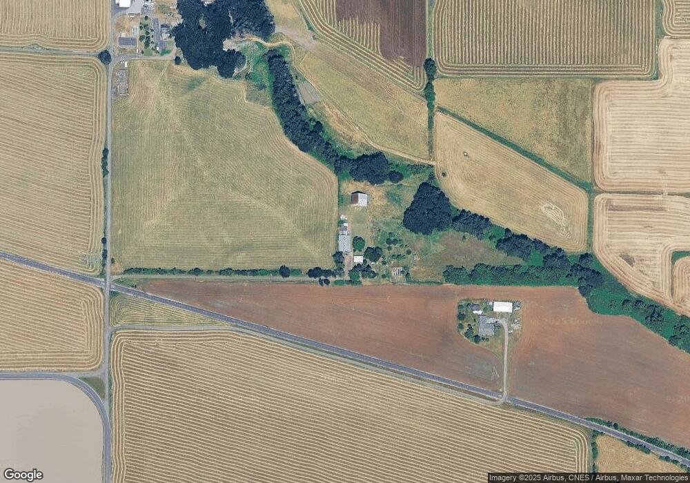
Map
Nearby Homes
- 24088 SW Highway 18
- 0 Highway 18 (Ta 635db00400)
- 515 SE Sheridan Rd
- 515 SE Sheridan Rd Unit 6
- 21605 SW Cherry Hill Rd
- 740 SE Alicia St
- 245 NE Balm St
- 503 SE Sheridan Rd Unit 8
- 634 E Main St
- 419 SE Sheridan Rd
- 611 NE Bockes Loop
- 785 NE Blair St
- 347 NE Oak St
- 243 SE Harney St
- 518 S Bridge St
- 240 SW Jefferson St
- 0 SW Rock Creek Rd Unit 216113550
- 0 SW Rock Creek Rd Unit 827138
- 510 NE Hill St
- 204 SW Water St
- 25395 SW Graves Rd
- 9125 Ballston Rd
- 24899 SW Graves Rd
- 15715 Ball Rd
- 24910 SW Graves Rd
- 15520 Ballston Rd
- 23075 SW Loganberry Ln
- 24405 SW Ballston Rd
- 9575 SW Loganberry Ln
- 22038 SW Loganberry Ln
- 22275 SW Loganberry Ln
- 23100 SW Loganberry Ln
- 23170 SW Loganberry Ln
- 22648 SW Loganberry Ln
- 24940 SW Ballston Rd
- 22510 SW Loganberry Ln
- 23900 (Nxt To) Loganberry Ln
- 23900 SW Loganberry Ln
- 23900 Loganberry (Next To) Ln
- 25015 SW Ballston Rd