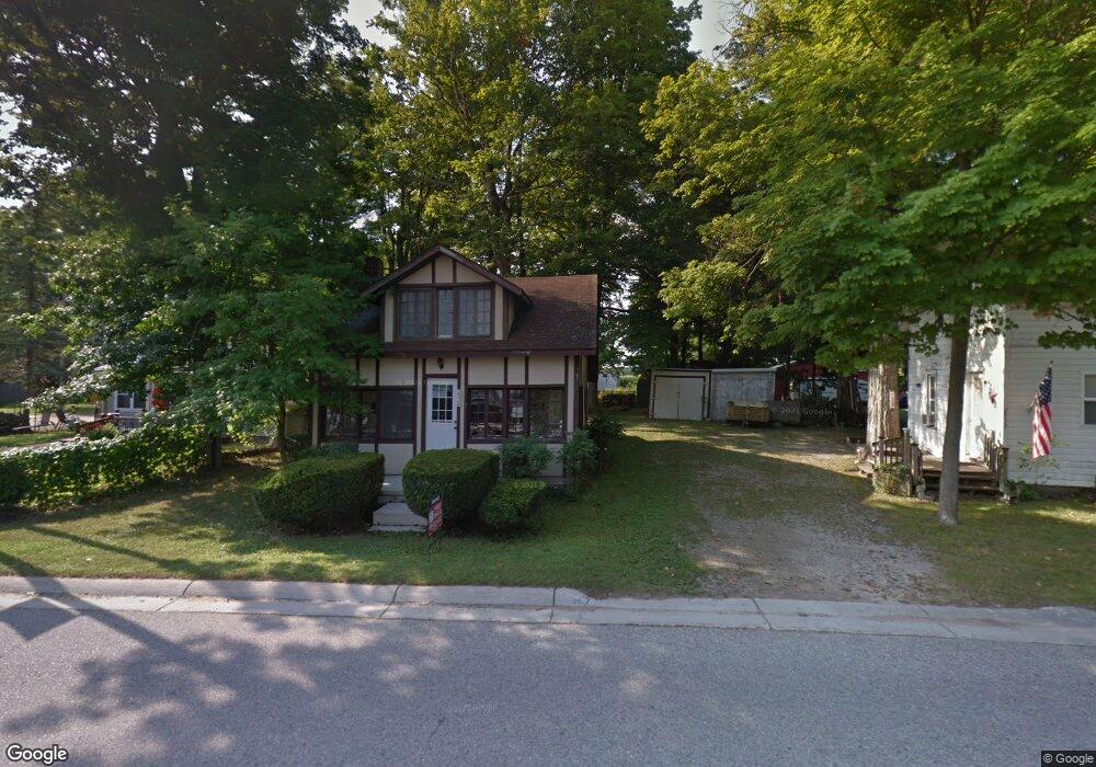
2532 S Shore Dr Crystal, MI 48818
Estimated Value: $128,000 - $196,000
--
Bed
1
Bath
--
Sq Ft
3,920
Sq Ft Lot
About This Home
This home is located at 2532 S Shore Dr, Crystal, MI 48818 and is currently estimated at $150,741. 2532 S Shore Dr is a home located in Montcalm County with nearby schools including Carson City Elementary School, Carson City-Crystal Upper Elementary/Middle School, and Carson City-Crystal High School.
Ownership History
Date
Name
Owned For
Owner Type
Purchase Details
Closed on
Sep 3, 2008
Sold by
Shoup Steven C and Shoup Catherine
Bought by
Strong Keith and Strong Janet
Current Estimated Value
Home Financials for this Owner
Home Financials are based on the most recent Mortgage that was taken out on this home.
Original Mortgage
$41,200
Interest Rate
6.54%
Mortgage Type
Purchase Money Mortgage
Purchase Details
Closed on
Apr 1, 2002
Sold by
King Gerald C and King Suzanna
Bought by
Shoup Steven C
Purchase Details
Closed on
Jan 1, 1992
Sold by
Redman
Bought by
King
Create a Home Valuation Report for This Property
The Home Valuation Report is an in-depth analysis detailing your home's value as well as a comparison with similar homes in the area
Home Values in the Area
Average Home Value in this Area
Purchase History
| Date | Buyer | Sale Price | Title Company |
|---|---|---|---|
| Strong Keith | $39,500 | None Available | |
| Strong Keith R | $39,500 | -- | |
| Shoup Steven C | $52,000 | -- | |
| King | $17,000 | -- |
Source: Public Records
Mortgage History
| Date | Status | Borrower | Loan Amount |
|---|---|---|---|
| Closed | Strong Keith R | $41,200 |
Source: Public Records
Tax History Compared to Growth
Tax History
| Year | Tax Paid | Tax Assessment Tax Assessment Total Assessment is a certain percentage of the fair market value that is determined by local assessors to be the total taxable value of land and additions on the property. | Land | Improvement |
|---|---|---|---|---|
| 2025 | $1,221 | $47,100 | $0 | $0 |
| 2024 | $1,136 | $43,900 | $0 | $0 |
| 2023 | -- | $38,800 | $0 | $0 |
| 2022 | -- | $29,600 | $0 | $0 |
| 2021 | -- | $27,600 | $0 | $0 |
| 2020 | -- | -- | $0 | $0 |
| 2019 | -- | -- | $0 | $0 |
| 2018 | -- | -- | $0 | $0 |
| 2017 | -- | -- | $0 | $0 |
| 2016 | -- | -- | $0 | $0 |
| 2015 | -- | -- | $0 | $0 |
| 2014 | -- | -- | $0 | $0 |
Source: Public Records
Map
Nearby Homes
- 8386 E Sidney Rd
- 802 Parker St
- 2207 Strait Tow Blvd
- 8208 E Sidney Rd
- 305 E Lasalle St
- 255 Peterman Ave
- 890 S Senator Rd
- 1960 Waterview Way
- 1401 S Miner Rd
- 9464 E Colby Rd
- 9309 Merle Dr
- 11905 E Spencer Rd
- 10343 E Pakes Rd
- TBD E Klees Rd
- 10365 E Klees Rd
- 3043 E Sidney Rd
- 0 Condensery Rd
- 10653 Maple Dr
- 10041 Birch Dr
- 7518 S Crystal Rd