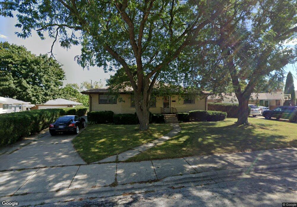
2533 Dunlay Ct Waukegan, IL 60085
West Waukegan NeighborhoodEstimated Value: $254,000 - $276,000
3
Beds
2
Baths
1,518
Sq Ft
$173/Sq Ft
Est. Value
About This Home
This home is located at 2533 Dunlay Ct, Waukegan, IL 60085 and is currently estimated at $262,001, approximately $172 per square foot. 2533 Dunlay Ct is a home located in Lake County with nearby schools including Whittier Elementary School, Robert E. Abbott Middle School, and Waukegan High School.
Ownership History
Date
Name
Owned For
Owner Type
Purchase Details
Closed on
Feb 7, 2014
Sold by
Declaration Hill Virginia M and Declaration Eleonora Kruzikas
Bought by
Thomas Patricia
Current Estimated Value
Home Financials for this Owner
Home Financials are based on the most recent Mortgage that was taken out on this home.
Original Mortgage
$48,173
Interest Rate
4.55%
Mortgage Type
New Conventional
Purchase Details
Closed on
Jul 2, 1997
Sold by
Kruzikas Eleonora
Bought by
Kruzikas Eleonora
Create a Home Valuation Report for This Property
The Home Valuation Report is an in-depth analysis detailing your home's value as well as a comparison with similar homes in the area
Home Values in the Area
Average Home Value in this Area
Purchase History
| Date | Buyer | Sale Price | Title Company |
|---|---|---|---|
| Thomas Patricia | $55,000 | First American Title | |
| Kruzikas Eleonora | -- | None Available |
Source: Public Records
Mortgage History
| Date | Status | Borrower | Loan Amount |
|---|---|---|---|
| Closed | Thomas Patricia | $48,173 |
Source: Public Records
Tax History Compared to Growth
Tax History
| Year | Tax Paid | Tax Assessment Tax Assessment Total Assessment is a certain percentage of the fair market value that is determined by local assessors to be the total taxable value of land and additions on the property. | Land | Improvement |
|---|---|---|---|---|
| 2024 | $4,492 | $62,708 | $12,899 | $49,809 |
| 2023 | $5,155 | $55,637 | $11,444 | $44,193 |
| 2022 | $5,155 | $58,732 | $11,237 | $47,495 |
| 2021 | $4,910 | $53,094 | $10,573 | $42,521 |
| 2020 | $4,927 | $49,463 | $9,850 | $39,613 |
| 2019 | $4,906 | $45,325 | $9,026 | $36,299 |
| 2018 | $4,904 | $44,310 | $10,949 | $33,361 |
| 2017 | $4,758 | $39,202 | $9,687 | $29,515 |
| 2016 | $4,337 | $34,065 | $8,418 | $25,647 |
| 2015 | $4,137 | $30,488 | $7,534 | $22,954 |
| 2014 | $3,320 | $29,776 | $8,148 | $21,628 |
| 2012 | $4,675 | $32,259 | $8,828 | $23,431 |
Source: Public Records
Map
Nearby Homes
- 0 Brookside Ave
- 24 Washington Terrace
- 102 Baldwin Ave
- 2115 Lydia St
- 49 S Lewis Ave
- 615 Tiffany Dr
- 132 Dorchester Ct
- 12601 W Atlantic Ave
- 2116 & 2101 Williamsburg Dr
- 2726 W Hidden Glen Dr
- 1213 Grand Ave
- 1521 Catalpa Ave
- 1416 Hamilton Ct
- 3170 W Monroe St Unit 309
- 621 N Austin Ave
- 34887 N Austin Ave
- 603 N Austin Ave
- 23 N Jackson St
- 1005 N Lewis Ave
- 12698 W Grandview Ave