2534 S Forest Cir Unit B29 Wanship, UT 84017
Estimated Value: $1,041,000 - $1,267,000
--
Bed
--
Bath
2,436
Sq Ft
$467/Sq Ft
Est. Value
About This Home
This home is located at 2534 S Forest Cir Unit B29, Wanship, UT 84017 and is currently estimated at $1,138,305, approximately $467 per square foot. 2534 S Forest Cir Unit B29 is a home located in Summit County with nearby schools including North Summit Middle School, North Summit Elementary School, and North Summit High School.
Ownership History
Date
Name
Owned For
Owner Type
Purchase Details
Closed on
Jun 18, 2025
Sold by
Harris Todd and Harris Andria
Bought by
Harris Family Trust and Harris
Current Estimated Value
Purchase Details
Closed on
Jun 16, 2017
Sold by
Davis Ross D and Davis Denise I
Bought by
Harris Todd and Harris Andria
Purchase Details
Closed on
Mar 1, 2011
Sold by
Loveridge Elizabeth Rose
Bought by
Davis Ross D and Davis Denise I
Purchase Details
Closed on
May 28, 2010
Sold by
Springgate Richard
Bought by
Springgate Ricahrd and Springgate Connie
Create a Home Valuation Report for This Property
The Home Valuation Report is an in-depth analysis detailing your home's value as well as a comparison with similar homes in the area
Home Values in the Area
Average Home Value in this Area
Purchase History
| Date | Buyer | Sale Price | Title Company |
|---|---|---|---|
| Harris Family Trust | -- | None Listed On Document | |
| Harris Todd | -- | Us Title Insurance Agency | |
| Davis Ross D | -- | -- | |
| Springgate Ricahrd | -- | -- |
Source: Public Records
Tax History Compared to Growth
Tax History
| Year | Tax Paid | Tax Assessment Tax Assessment Total Assessment is a certain percentage of the fair market value that is determined by local assessors to be the total taxable value of land and additions on the property. | Land | Improvement |
|---|---|---|---|---|
| 2024 | $3,616 | $594,054 | $129,500 | $464,554 |
| 2023 | $3,616 | $651,934 | $103,000 | $548,934 |
| 2022 | $3,098 | $561,191 | $73,250 | $487,941 |
| 2021 | $2,595 | $384,794 | $59,500 | $325,294 |
| 2020 | $2,729 | $384,794 | $59,500 | $325,294 |
| 2019 | $4,116 | $506,920 | $104,500 | $402,420 |
| 2018 | $849 | $104,500 | $104,500 | $0 |
| 2017 | $490 | $63,000 | $63,000 | $0 |
| 2016 | $518 | $63,000 | $63,000 | $0 |
| 2015 | $426 | $49,500 | $0 | $0 |
| 2013 | $364 | $42,000 | $0 | $0 |
Source: Public Records
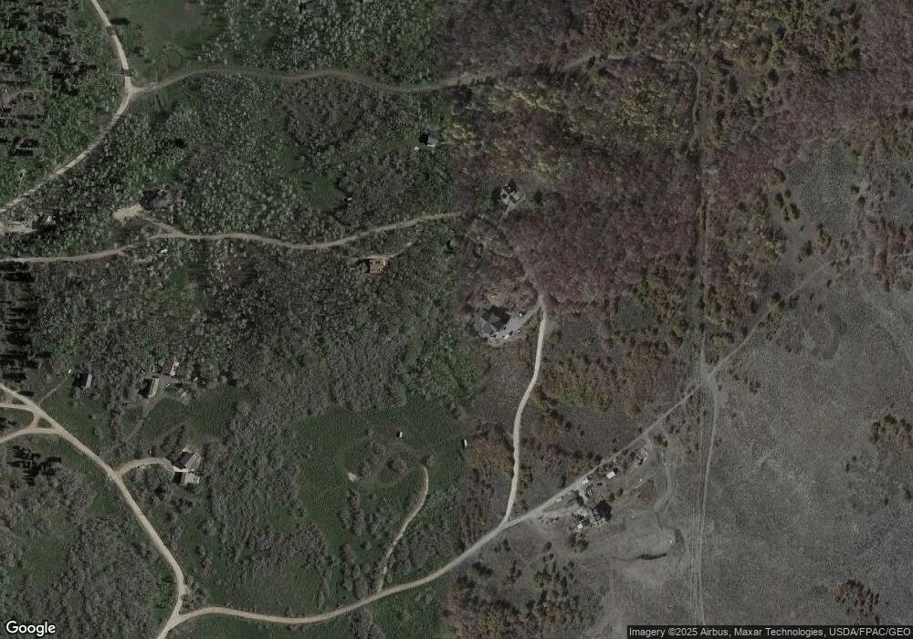
Map
Nearby Homes
- 218 W Bear Tooth Ridge Unit 26-A
- 276 W Bear Tooth Ridge Unit 25
- 2412 S Bull Moose Dr Unit 106
- 700 W Forgotten Ln
- 0 Porcupine Loop Unit 12503779
- 2230 S Porcupine Cir
- 2458 S Forest Meadow Rd
- 2481 Forest Meadow Rd Unit D91
- 2422 S Valley View Rd
- 2684 S Forest Meadow Rd
- 2684 S Forest Meadow Rd Unit Fm-C-86-A-Am
- 2560 S Valley View Rd Unit 1
- 2727 S Valley View Rd
- 2261 Pine Meadow Dr
- 1065 Beaver Cir
- 2043 S Pine Meadow Dr
- 1430 W Arapaho Dr Unit 59
- 1430 W Arapaho Dr
- 2393 S Navajo Dr Unit Pi-C-47
- 2393 S Navajo Dr Unit C-47
- 2534 S Forest Cir
- 2520 S Forest Cir
- 2520 S Forest Cir Unit 29-1
- 2520 S Forest Cir
- 2500 Forest Cir
- 2500 S Forest Cir
- 2517 S Forest Cir
- 2523 S Forest Cir
- 2523 S Forest Cir Unit 18
- 2523 Forest Cir
- 2523 Forest Cir Unit 18
- 2539 S Forest Cir Unit 16
- 2539 S Forest Cir
- 150 W Bear Tooth Ridge
- 2278 S Forest Cir
- 2580 S Forest Cir
- 2580 S Forest Cir Unit 38
- 2565 S Forest Cir
- 218 W Bear Tooth Ridge
- 2488 Forest Cir