2535 Braddock Rd Mount Airy, MD 21771
Estimated Value: $651,000 - $794,501
Studio
4
Baths
3,398
Sq Ft
$220/Sq Ft
Est. Value
About This Home
This home is located at 2535 Braddock Rd, Mount Airy, MD 21771 and is currently estimated at $747,125, approximately $219 per square foot. 2535 Braddock Rd is a home located in Carroll County with nearby schools including Winfield Elementary School, Mount Airy Middle School, and South Carroll High School.
Ownership History
Date
Name
Owned For
Owner Type
Purchase Details
Closed on
Oct 19, 2017
Sold by
Yost Daniel Allen and Yost Annette
Bought by
Yost Daniel Allen and Yost Annette
Current Estimated Value
Purchase Details
Closed on
Jun 20, 1995
Sold by
Carswell John W
Bought by
Yost Daniel A
Home Financials for this Owner
Home Financials are based on the most recent Mortgage that was taken out on this home.
Original Mortgage
$169,550
Interest Rate
8.24%
Create a Home Valuation Report for This Property
The Home Valuation Report is an in-depth analysis detailing your home's value as well as a comparison with similar homes in the area
Purchase History
| Date | Buyer | Sale Price | Title Company |
|---|---|---|---|
| Yost Daniel Allen | -- | None Available | |
| Yost Daniel A | $187,500 | -- |
Source: Public Records
Mortgage History
| Date | Status | Borrower | Loan Amount |
|---|---|---|---|
| Previous Owner | Yost Daniel A | $169,550 | |
| Closed | Yost Daniel A | $20,000 |
Source: Public Records
Tax History
| Year | Tax Paid | Tax Assessment Tax Assessment Total Assessment is a certain percentage of the fair market value that is determined by local assessors to be the total taxable value of land and additions on the property. | Land | Improvement |
|---|---|---|---|---|
| 2025 | $7,107 | $631,300 | $0 | $0 |
| 2024 | $6,769 | $599,100 | $206,800 | $392,300 |
| 2023 | $6,604 | $586,833 | $0 | $0 |
| 2022 | $6,310 | $574,567 | $0 | $0 |
| 2021 | $12,287 | $562,300 | $166,800 | $395,500 |
| 2020 | $5,736 | $527,433 | $0 | $0 |
| 2019 | $5,626 | $492,567 | $0 | $0 |
| 2018 | $5,185 | $457,700 | $166,800 | $290,900 |
| 2017 | $5,045 | $445,133 | $0 | $0 |
| 2016 | -- | $432,567 | $0 | $0 |
| 2015 | -- | $420,000 | $0 | $0 |
| 2014 | -- | $417,667 | $0 | $0 |
Source: Public Records
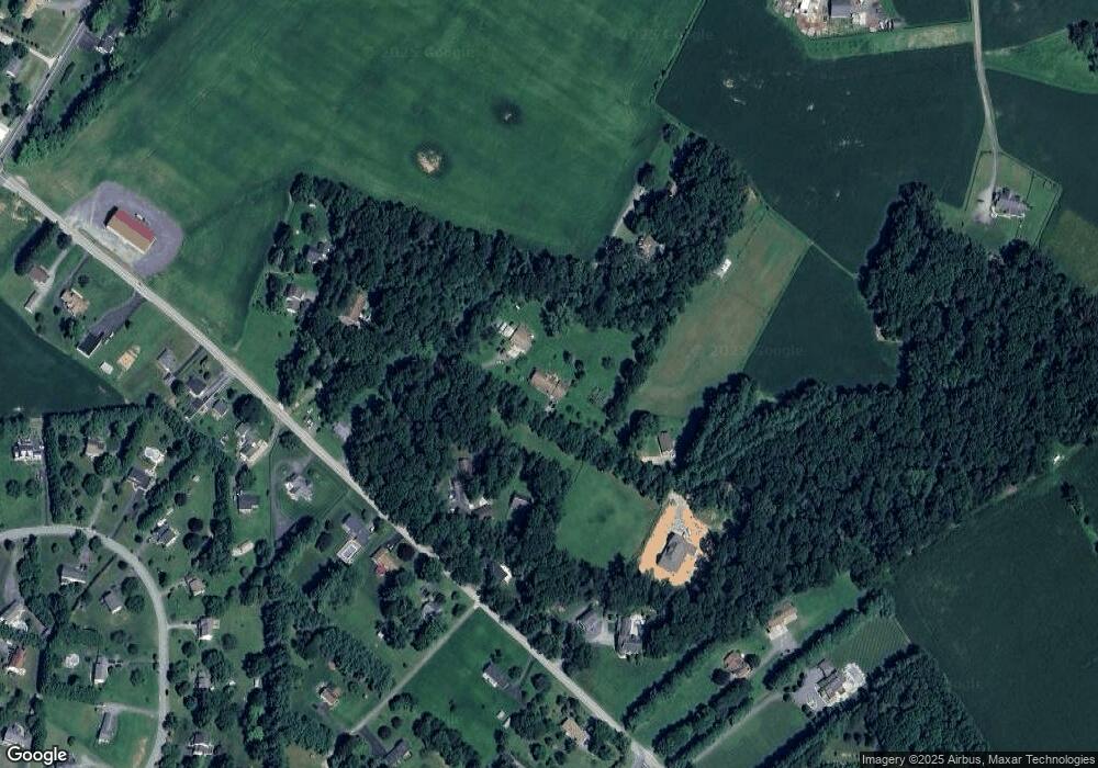
Map
Nearby Homes
- 4328 Ridge Rd Unit 13
- 2514 W Liberty Rd
- 2613 Liberty Rd
- 4505 Gray Horse Dr
- 4814 Ridge Rd
- 4525 Roop Rd
- 2507 Gillis Rd
- 3222 Kimberly Dr
- 1658 Sams Creek Rd
- 15539 Liberty Rd
- Lot 15 Westview Dr
- 3174 Cardinal Dr
- 3895 Buffalo Rd
- 0 Cabbage Spring Rd
- 3816 A Jim Smith Ln
- 5422 Woodbine Rd
- 970 Oak Tree Rd
- 3026 Marston Rd
- 3092 Ballesteras Ct
- 2900 Marston Rd
- 2613 Braddock Rd
- 2597 Braddock Rd
- 2611 Braddock Rd
- Parcel 331 Braddock Rd
- 2605 Braddock Rd
- 2512 Braddock Rd
- 2514 Braddock Rd
- 2510 Braddock Rd
- 2623 Braddock Rd
- 2621 Braddock Rd
- 2501 Braddock Rd
- 2516 Braddock Rd
- 2606 Braddock Rd
- 2604 Braddock Rd
- 2612 Braddock Rd
- 2473 Braddock Rd
- 2500 Braddock Rd
- 2616 Braddock Rd
- 2508 Braddock Rd
- 2618 Braddock Rd
Your Personal Tour Guide
Ask me questions while you tour the home.