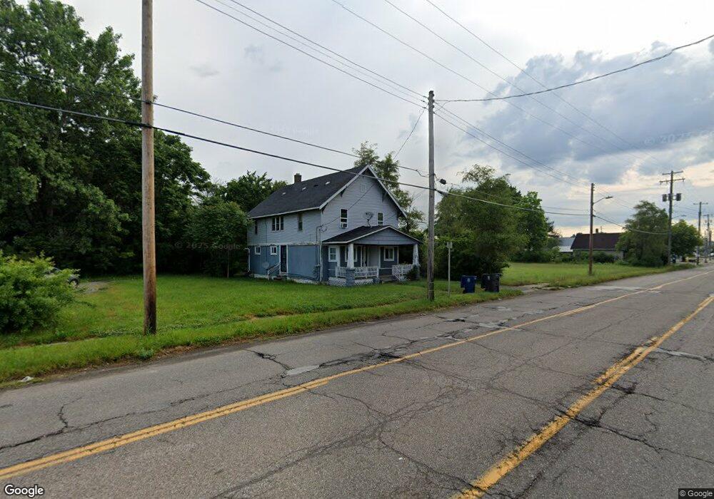
2535 Davison Rd Flint, MI 48506
Eastside NeighborhoodEstimated Value: $81,000
Studio
--
Bath
3,072
Sq Ft
$26/Sq Ft
Est. Value
About This Home
This home is located at 2535 Davison Rd, Flint, MI 48506 and is currently priced at $81,000, approximately $26 per square foot. 2535 Davison Rd is a home located in Genesee County with nearby schools including Potter School, Flint Cultural Center Academy, and WAY Academy of Flint.
Ownership History
Date
Name
Owned For
Owner Type
Purchase Details
Closed on
Jun 14, 2022
Sold by
Chedops Llc
Bought by
Chedops Michigan Llc
Current Estimated Value
Home Financials for this Owner
Home Financials are based on the most recent Mortgage that was taken out on this home.
Original Mortgage
$60,000
Outstanding Balance
$57,080
Interest Rate
5.25%
Mortgage Type
New Conventional
Purchase Details
Closed on
Aug 21, 2020
Sold by
Savage Jeffrey C
Bought by
Chedops Llc
Purchase Details
Closed on
Jan 17, 2001
Sold by
Brandon Lucian H
Bought by
Savage Jeffrey C
Create a Home Valuation Report for This Property
The Home Valuation Report is an in-depth analysis detailing your home's value as well as a comparison with similar homes in the area
Home Values in the Area
Average Home Value in this Area
Purchase History
| Date | Buyer | Sale Price | Title Company |
|---|---|---|---|
| Chedops Michigan Llc | -- | None Listed On Document | |
| Chedops Llc | $15,000 | Dream Title And Escrow Agcy | |
| Savage Jeffrey C | $20,001 | Centennial Title & Abstract |
Source: Public Records
Mortgage History
| Date | Status | Borrower | Loan Amount |
|---|---|---|---|
| Open | Chedops Michigan Llc | $60,000 |
Source: Public Records
Tax History
| Year | Tax Paid | Tax Assessment Tax Assessment Total Assessment is a certain percentage of the fair market value that is determined by local assessors to be the total taxable value of land and additions on the property. | Land | Improvement |
|---|---|---|---|---|
| 2025 | $3,761 | $49,300 | $0 | $0 |
| 2024 | $3,425 | $48,900 | $0 | $0 |
| 2023 | $3,477 | $49,300 | $0 | $0 |
| 2022 | $0 | $36,900 | $0 | $0 |
| 2021 | $2,677 | $33,300 | $0 | $0 |
| 2020 | $1,703 | $33,300 | $0 | $0 |
| 2019 | $1,648 | $34,000 | $0 | $0 |
| 2018 | $1,687 | $34,500 | $0 | $0 |
| 2017 | $1,637 | $0 | $0 | $0 |
| 2016 | $1,625 | $0 | $0 | $0 |
| 2015 | -- | $0 | $0 | $0 |
| 2014 | -- | $0 | $0 | $0 |
Source: Public Records
Map
Nearby Homes
- 2601 Illinois Ave
- 2426 Broadway Blvd
- 2211 Torrance St
- 2613 Pennsylvania Ave
- 2415 Pennsylvania Ave
- 2610 Pennsylvania Ave
- 1622 Arlington Ave
- 2321 Levern St
- 2301 Missouri Ave
- 2426 Hoff St
- 1501 Arlington Ave
- 2302 Missouri Ave
- 2605 Nebraska Ave
- 2002 Branch Rd
- 2506 Arlington Ave
- 1805 Bennett Ave
- 1318 Cronk Ave
- 2701 Branch Rd
- 3149 Whittier Ave
- 2217 Maryland Ave
- 2530 Churchill Ave
- 2602 Churchill Ave
- 2528 Churchill Ave
- 2606 Churchill Ave
- 2522 Churchill Ave
- 2610 Churchill Ave
- 2617 Davison Rd
- 2512 Davison Rd
- 2522 Davison Rd
- 2602 Davison Rd
- 2518 Churchill Ave
- 2614 Churchill Ave
- 2621 Davison Rd
- 2514 Churchill Ave
- 2618 Churchill Ave
- 2610 Davison Rd
- 2625 Davison Rd
- 1722 N Cumberland St
- 2505 Davison Rd
- 2510 Churchill Ave
Your Personal Tour Guide
Ask me questions while you tour the home.