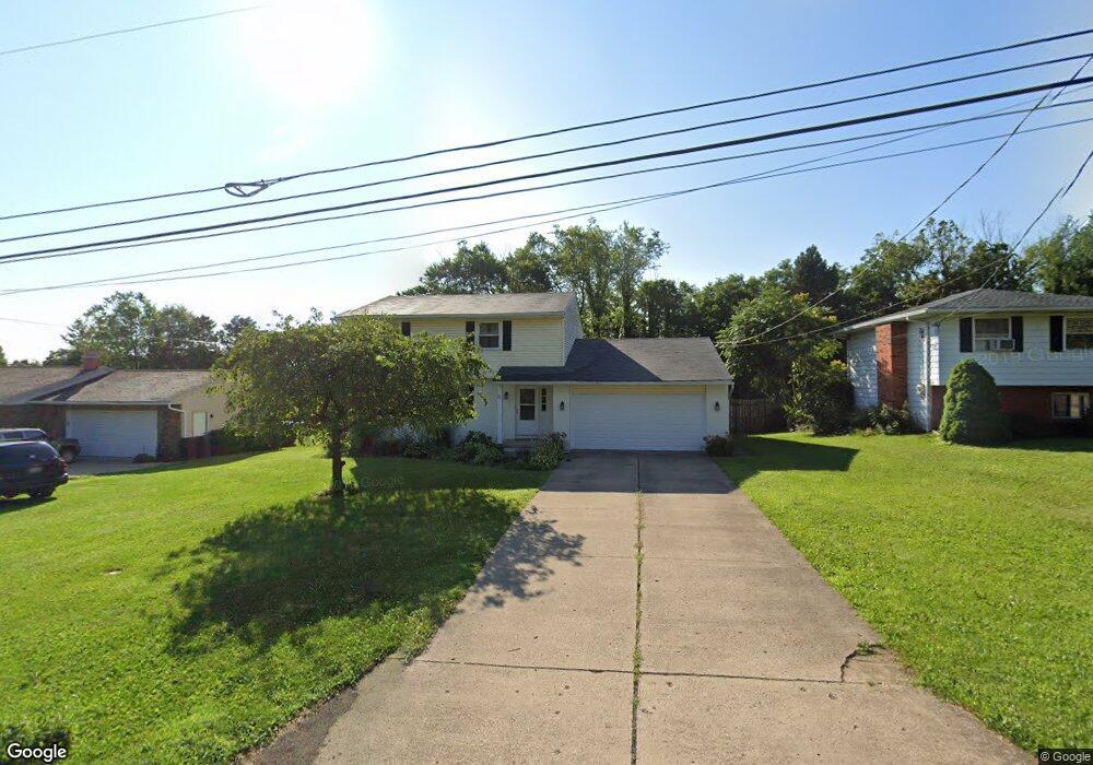
2536 Bryonaire Rd Mansfield, OH 44903
Estimated Value: $240,000 - $263,000
3
Beds
3
Baths
1,930
Sq Ft
$131/Sq Ft
Est. Value
About This Home
This home is located at 2536 Bryonaire Rd, Mansfield, OH 44903 and is currently estimated at $251,973, approximately $130 per square foot. 2536 Bryonaire Rd is a home located in Richland County with nearby schools including Madison High School, St. Mary Catholic School, and Temple-Christian School.
Ownership History
Date
Name
Owned For
Owner Type
Purchase Details
Closed on
Feb 26, 2010
Sold by
Mullins Matthew P
Bought by
Fuggett Robert
Current Estimated Value
Home Financials for this Owner
Home Financials are based on the most recent Mortgage that was taken out on this home.
Original Mortgage
$88,369
Outstanding Balance
$58,977
Interest Rate
5.12%
Mortgage Type
FHA
Estimated Equity
$192,996
Purchase Details
Closed on
May 1, 1985
Create a Home Valuation Report for This Property
The Home Valuation Report is an in-depth analysis detailing your home's value as well as a comparison with similar homes in the area
Home Values in the Area
Average Home Value in this Area
Purchase History
| Date | Buyer | Sale Price | Title Company |
|---|---|---|---|
| Fuggett Robert | $90,000 | Barrister Lawyers Title | |
| -- | $60,500 | -- |
Source: Public Records
Mortgage History
| Date | Status | Borrower | Loan Amount |
|---|---|---|---|
| Open | Fuggett Robert | $88,369 |
Source: Public Records
Tax History Compared to Growth
Tax History
| Year | Tax Paid | Tax Assessment Tax Assessment Total Assessment is a certain percentage of the fair market value that is determined by local assessors to be the total taxable value of land and additions on the property. | Land | Improvement |
|---|---|---|---|---|
| 2024 | $2,975 | $58,890 | $4,630 | $54,260 |
| 2023 | $2,975 | $58,890 | $4,630 | $54,260 |
| 2022 | $2,248 | $40,990 | $3,710 | $37,280 |
| 2021 | $2,247 | $40,990 | $3,710 | $37,280 |
| 2020 | $2,264 | $40,990 | $3,710 | $37,280 |
| 2019 | $2,061 | $34,830 | $3,140 | $31,690 |
| 2018 | $2,253 | $34,830 | $3,140 | $31,690 |
| 2017 | $2,199 | $34,830 | $3,140 | $31,690 |
| 2016 | $2,184 | $31,470 | $2,990 | $28,480 |
| 2015 | $2,184 | $31,470 | $2,990 | $28,480 |
| 2014 | $2,028 | $31,470 | $2,990 | $28,480 |
| 2012 | $937 | $31,460 | $3,140 | $28,320 |
Source: Public Records
Map
Nearby Homes
- 0 Satinwood Dr
- 2495 Emma Ln
- 2641 State Route 430
- 630 Impala Dr
- 598 Impala Dr
- 2270 Lakecrest Dr Unit 2272
- 2750 Lutz Ave
- 640 Running Brook Way
- 0 McBride Road Parcel # 1 Unit 9066028
- 609 Mcbride Rd
- 0 Peterson Rd
- 641 Laver Rd
- 1910 Crider Rd
- 1997 Hout Rd
- 1951 Woodmont Rd
- 2331 Fleming Falls Rd
- 1806 Richard Dr
- 76 Ford Rd N
- 76 Ford Rd N Unit 20
- 0 Mcelroy Rd
- 2530 Bryonaire Rd
- 2538 Bryonaire Rd
- 2524 Bryonaire Dr
- 2542 Bryonaire Dr
- 2524 Bryonaire Rd
- 2542 Bryonaire Rd
- 2531 Bryonaire Rd
- 2525 Bryonaire Dr
- 2520 Bryonaire Rd
- 2550 Bryonaire Rd
- 2560 Wedgewood Dr
- 2525 Bryonaire Rd
- 2521 Bryonaire Rd
- 2250 Wedgewood Dr
- 2550 Wedgewood Dr
- 2516 Bryonaire Rd
- 2558 Bryonaire Rd
- 2515 Bryonaire Rd
- 2514 Bryonaire Rd
- 2514 Bryonaire Dr