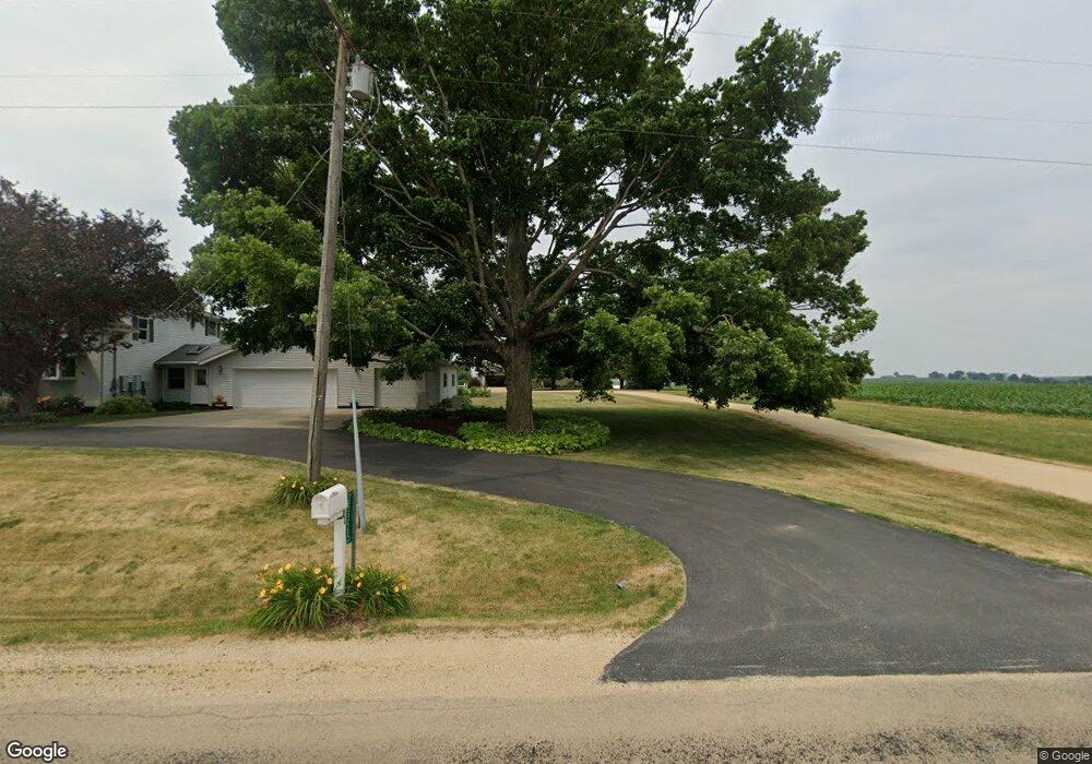
25367B Georgetown Rd Lanark, IL 61046
Estimated Value: $186,754 - $354,000
3
Beds
2
Baths
1,798
Sq Ft
$145/Sq Ft
Est. Value
About This Home
This home is located at 25367B Georgetown Rd, Lanark, IL 61046 and is currently estimated at $260,689, approximately $144 per square foot. 25367B Georgetown Rd is a home located in Carroll County with nearby schools including Eastland Elementary School and Eastland Junior-Senior High School.
Ownership History
Date
Name
Owned For
Owner Type
Purchase Details
Closed on
Mar 15, 2016
Sold by
Rath Joseph L
Bought by
Carroll Drew D and Ruter Taylor
Current Estimated Value
Home Financials for this Owner
Home Financials are based on the most recent Mortgage that was taken out on this home.
Original Mortgage
$106,875
Outstanding Balance
$44,854
Interest Rate
3%
Mortgage Type
New Conventional
Estimated Equity
$215,835
Create a Home Valuation Report for This Property
The Home Valuation Report is an in-depth analysis detailing your home's value as well as a comparison with similar homes in the area
Purchase History
| Date | Buyer | Sale Price | Title Company |
|---|---|---|---|
| Carroll Drew D | $112,500 | Attorney Only |
Source: Public Records
Mortgage History
| Date | Status | Borrower | Loan Amount |
|---|---|---|---|
| Open | Carroll Drew D | $106,875 |
Source: Public Records
Tax History
| Year | Tax Paid | Tax Assessment Tax Assessment Total Assessment is a certain percentage of the fair market value that is determined by local assessors to be the total taxable value of land and additions on the property. | Land | Improvement |
|---|---|---|---|---|
| 2024 | $2,856 | $56,852 | $3,611 | $53,241 |
| 2023 | $2,856 | $48,490 | $3,179 | $45,311 |
| 2022 | $2,268 | $41,982 | $2,752 | $39,230 |
| 2021 | $2,078 | $37,152 | $2,435 | $34,717 |
| 2020 | $1,969 | $35,896 | $2,353 | $33,543 |
| 2019 | $2,133 | $38,380 | $2,490 | $35,890 |
| 2018 | $2,168 | $38,380 | $2,490 | $35,890 |
| 2017 | $2,371 | $38,379 | $2,489 | $35,890 |
| 2016 | $2,577 | $38,379 | $2,489 | $35,890 |
| 2015 | $1,945 | $39,479 | $2,489 | $36,990 |
| 2014 | $2,015 | $41,162 | $2,596 | $38,566 |
| 2013 | $2,015 | $39,963 | $2,520 | $37,443 |
Source: Public Records
Map
Nearby Homes
- 21-59 Lake Carroll Blvd
- 20-31 & 32 Fox Run Dr
- 3-499 Shady Ln
- 3-521 Shady Ln
- 3521 Shady Ln
- 21-54 Old Wharf Rd
- 3-608R Fawn Ridge Dr
- 21-51 Marina Ct
- 3-446 Deerfield
- 13-143 Newberry Ct
- 23205 Blackberry Ct
- 21-50 Marina Ct
- 22-6 Lakewood Ct
- 30-45 Brookside Dr
- 22-2 Lakewood Ct
- 328 E Carroll St
- 31-39 Wakonda Dr
- 629 E Locust St
- 31-104 Kemper Ct
- 1150 Perry Ct
- 25325 Georgetown Rd
- 14113 Brethren Rd
- 25314 Georgetown Rd
- 25278 Georgetown Rd
- 14157 Brethren Rd
- 25406 Georgetown Rd
- 25448 Georgetown Rd
- 14220 Brethren Rd
- 14270 Brethren Rd
- 14361 Brethren Rd
- 14445 Brethren Rd
- 25040 Georgetown Rd
- 14112 Il Route 73
- 14771 Il Route 73
- 13641 Il Route 73
- 24681 Georgetown Rd
- 14236 Lovers Spring Rd
- 14878 Il Route 73
- 24564 Georgetown Rd
- 14260 Lovers Spring Rd
Your Personal Tour Guide
Ask me questions while you tour the home.