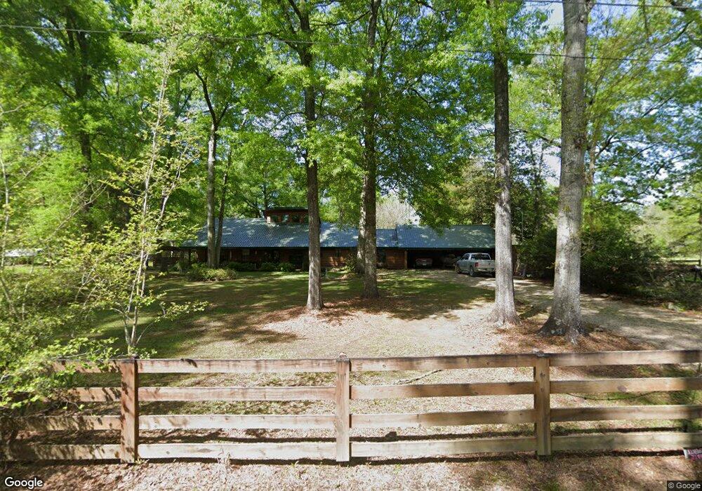
25369 Snead Rd Robert, LA 70455
Estimated Value: $173,000 - $284,279
3
Beds
2
Baths
1,728
Sq Ft
$138/Sq Ft
Est. Value
About This Home
This home is located at 25369 Snead Rd, Robert, LA 70455 and is currently estimated at $238,070, approximately $137 per square foot. 25369 Snead Rd is a home located in Tangipahoa Parish with nearby schools including Hammond Eastside Magnet and Hammond High Magnet School.
Ownership History
Date
Name
Owned For
Owner Type
Purchase Details
Closed on
Feb 1, 2010
Sold by
Blake Raymond Nelson
Bought by
Lindsay Johnny R and Cason Sherry T
Current Estimated Value
Home Financials for this Owner
Home Financials are based on the most recent Mortgage that was taken out on this home.
Original Mortgage
$116,000
Outstanding Balance
$75,438
Interest Rate
5.08%
Mortgage Type
New Conventional
Estimated Equity
$162,632
Create a Home Valuation Report for This Property
The Home Valuation Report is an in-depth analysis detailing your home's value as well as a comparison with similar homes in the area
Purchase History
| Date | Buyer | Sale Price | Title Company |
|---|---|---|---|
| Lindsay Johnny R | $169,000 | None Available |
Source: Public Records
Mortgage History
| Date | Status | Borrower | Loan Amount |
|---|---|---|---|
| Open | Lindsay Johnny R | $116,000 |
Source: Public Records
Tax History
| Year | Tax Paid | Tax Assessment Tax Assessment Total Assessment is a certain percentage of the fair market value that is determined by local assessors to be the total taxable value of land and additions on the property. | Land | Improvement |
|---|---|---|---|---|
| 2025 | $1,187 | $12,270 | $1,338 | $10,932 |
| 2024 | $1,182 | $12,270 | $1,338 | $10,932 |
| 2023 | $1,182 | $12,173 | $1,242 | $10,931 |
| 2022 | $1,182 | $12,173 | $1,242 | $10,931 |
| 2021 | $460 | $12,173 | $1,242 | $10,931 |
| 2020 | $1,182 | $12,173 | $1,242 | $10,931 |
| 2019 | $1,179 | $12,173 | $1,242 | $10,931 |
| 2018 | $1,182 | $12,173 | $1,242 | $10,931 |
| 2017 | $1,182 | $12,173 | $1,242 | $10,931 |
| 2016 | $1,182 | $12,173 | $1,242 | $10,931 |
| 2015 | $525 | $12,893 | $1,242 | $11,651 |
| 2014 | $492 | $12,893 | $1,242 | $11,651 |
Source: Public Records
Map
Nearby Homes
- 25214 Highway 190
- 0 Stepp Rd
- Lot 265 Arbor Dr
- 24411 Michael Dr
- 46103 Riverdale Heights Rd
- 0 Highway 190 Hwy E Unit 2428618
- 0 Highway 190 Hwy E Unit 2469869
- 0 Highway 190 Hwy E Unit 2507528
- 23547 Heritage Acres Ln
- 26.85 Acres Heritage Acres Ln
- 6.40 ACRE TRACT - Cypress Ln
- 23483 Heritage Acres Ln
- PAR 1-B Highway 190
- PAR 1-D Highway 190
- PAR 1-C Highway 190
- PAR 1-A Highway 190
- 25364 Corrine Ln
- 25513 Stepp Rd
- 25481 Stepp Rd
- 25364 Corine Ln
- 25525 Stepp Rd
- 25463 Stepp Rd
- 25562 Stepp Rd
- 25552 Stepp Rd
- 25329 Snead Rd
- 25572 Stepp Rd
- 25447 Stepp Rd
- 25599 Stepp Rd
- 25594 Stepp Rd
- 25435 Stepp Rd
- 25423 Stepp Rd
- 25330 Highway 190 E
- 25382 Highway 190 E
- 25322 Highway 190 E
- 25410 Highway 190 E
- 25327 Highway 190 E
Your Personal Tour Guide
Ask me questions while you tour the home.