25377 Osborne Rd Columbia Station, OH 44028
Estimated Value: $188,348 - $254,000
3
Beds
1
Bath
1,485
Sq Ft
$148/Sq Ft
Est. Value
About This Home
This home is located at 25377 Osborne Rd, Columbia Station, OH 44028 and is currently estimated at $220,337, approximately $148 per square foot. 25377 Osborne Rd is a home located in Lorain County with nearby schools including Copopa Elementary School, Columbia Middle School, and Columbia High School.
Ownership History
Date
Name
Owned For
Owner Type
Purchase Details
Closed on
Mar 26, 2021
Sold by
Johnson Robert C and Estate Of Suzanne F Johnson
Bought by
Bedford Jody F
Current Estimated Value
Purchase Details
Closed on
Sep 20, 2016
Sold by
Mckinley Ron and Mckinley Diane
Bought by
Miller Randy E and Miller Geneva J
Create a Home Valuation Report for This Property
The Home Valuation Report is an in-depth analysis detailing your home's value as well as a comparison with similar homes in the area
Home Values in the Area
Average Home Value in this Area
Purchase History
| Date | Buyer | Sale Price | Title Company |
|---|---|---|---|
| Bedford Jody F | $87,500 | City Title Company | |
| Miller Randy E | $2,700 | Fidelity National Title |
Source: Public Records
Tax History Compared to Growth
Tax History
| Year | Tax Paid | Tax Assessment Tax Assessment Total Assessment is a certain percentage of the fair market value that is determined by local assessors to be the total taxable value of land and additions on the property. | Land | Improvement |
|---|---|---|---|---|
| 2024 | $3,153 | $70,536 | $24,749 | $45,787 |
| 2023 | $2,005 | $38,857 | $21,889 | $16,968 |
| 2022 | $1,959 | $38,857 | $21,889 | $16,968 |
| 2021 | $1,936 | $38,857 | $21,889 | $16,968 |
| 2020 | $1,871 | $33,700 | $18,980 | $14,720 |
| 2019 | $1,860 | $33,700 | $18,980 | $14,720 |
| 2018 | $1,874 | $33,700 | $18,980 | $14,720 |
| 2017 | $2,114 | $35,350 | $18,910 | $16,440 |
| 2016 | $2,128 | $35,350 | $18,910 | $16,440 |
| 2015 | $2,129 | $35,350 | $18,910 | $16,440 |
| 2014 | $2,133 | $35,350 | $18,910 | $16,440 |
| 2013 | $2,141 | $35,350 | $18,910 | $16,440 |
Source: Public Records
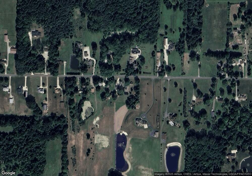
Map
Nearby Homes
- 11834 W River Rd
- 23663 Victory Ln
- 0 E River Rd Unit 5120285
- 23855 W Rim Dr
- 31100 Blooming Ln
- 26645 Lake of the Falls Blvd
- 27056 Sprague Rd
- Columbia Plan at Ashford Cove
- Anderson Plan at Ashford Cove
- Hudson Plan at Ashford Cove
- Ballenger Plan at Ashford Cove
- Lehigh Plan at Ashford Cove
- 1046 Ashford Ct
- 12857 Caribou Ct
- 26183 Raintree Blvd Unit C-10
- 26609 N Park Blvd Unit 26609
- 26179 Raintree Blvd Unit D8
- 26523 Sussex Dr
- 10702 Winding Creek Chase
- 24032 Edward Ln
- 25393 Osborne Rd
- 25366 Osborne Rd
- 25418 Osborne Rd
- 25441 Osborne Rd
- 25314 Osborne Rd
- 25464 Osborne Rd
- 25477 Osborne Rd
- 25290 Osborne Rd
- 25285 Osborne Rd
- 25246 Osborne Rd
- 25225 Osborne Rd
- 25525 Osborne Rd
- 25500 Osborne Rd
- 25199 Osborne Rd
- 25178 Osborne Rd
- 25601 Osborne Rd
- 25554 Osborne Rd
- 25619 Osborne Rd
- 25140 Osborne Rd
- 25153 Osborne Rd