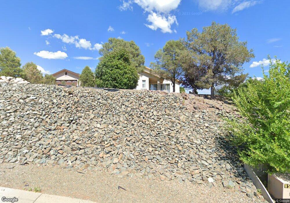
2539 Erin Cir Prescott, AZ 86301
Estimated Value: $514,000 - $651,000
--
Bed
--
Bath
2,005
Sq Ft
$278/Sq Ft
Est. Value
About This Home
This home is located at 2539 Erin Cir, Prescott, AZ 86301 and is currently estimated at $557,838, approximately $278 per square foot. 2539 Erin Cir is a home located in Yavapai County with nearby schools including Taylor Hicks School, Granite Mountain Middle School, and Prescott Mile High Middle School.
Ownership History
Date
Name
Owned For
Owner Type
Purchase Details
Closed on
Jan 13, 2015
Sold by
Auten Doris J
Bought by
Davis Christopher Theron and Davis Jamie Marie Lee
Current Estimated Value
Home Financials for this Owner
Home Financials are based on the most recent Mortgage that was taken out on this home.
Original Mortgage
$220,924
Interest Rate
3.75%
Mortgage Type
FHA
Purchase Details
Closed on
Dec 18, 1997
Sold by
Auten Richard A and Auten Doris J
Bought by
Auten Richard A and Auten Doris J
Purchase Details
Closed on
Aug 6, 1997
Sold by
Bishara Donald H and Bishara Josette A
Bought by
Bishara Donald and Bishara Josette
Purchase Details
Closed on
Jul 9, 1997
Sold by
Babich Paul F and Babich Nancy C
Bought by
Auten Richard A and Auten Doris J
Create a Home Valuation Report for This Property
The Home Valuation Report is an in-depth analysis detailing your home's value as well as a comparison with similar homes in the area
Home Values in the Area
Average Home Value in this Area
Purchase History
| Date | Buyer | Sale Price | Title Company |
|---|---|---|---|
| Davis Christopher Theron | $225,000 | Driggs Title Agency | |
| Auten Richard A | -- | -- | |
| Bishara Donald | -- | Capital Title Agency | |
| Auten Richard A | $165,895 | Capital Title Agency | |
| Babich Paul F | -- | Capital Title Agency |
Source: Public Records
Mortgage History
| Date | Status | Borrower | Loan Amount |
|---|---|---|---|
| Open | Olthoff Timothy D | $436,000 | |
| Closed | Davis Christopher Theron | $212,300 | |
| Closed | Davis Christopher Theron | $220,924 |
Source: Public Records
Tax History Compared to Growth
Tax History
| Year | Tax Paid | Tax Assessment Tax Assessment Total Assessment is a certain percentage of the fair market value that is determined by local assessors to be the total taxable value of land and additions on the property. | Land | Improvement |
|---|---|---|---|---|
| 2026 | $1,721 | $42,516 | -- | -- |
| 2024 | $1,686 | $44,203 | -- | -- |
| 2023 | $1,686 | $34,700 | $0 | $0 |
| 2022 | $1,652 | $29,422 | $5,429 | $23,993 |
| 2021 | $1,723 | $28,078 | $4,147 | $23,931 |
| 2020 | $1,726 | $0 | $0 | $0 |
| 2019 | $1,449 | $0 | $0 | $0 |
| 2018 | $1,384 | $0 | $0 | $0 |
| 2017 | $1,334 | $0 | $0 | $0 |
| 2016 | $1,328 | $0 | $0 | $0 |
| 2015 | -- | $0 | $0 | $0 |
| 2014 | -- | $0 | $0 | $0 |
Source: Public Records
Map
Nearby Homes
- 441 & 443 Golden Hawk Dr
- 538 S Lakeview Dr
- 2356 Juniper Ridge Cir Unit IIV
- 2547 Golden Bear Dr
- 2345 Shinnery Ln
- 502-522 Talons Reach Way
- 844 S Lakeview Dr
- 438 Jasmine Ln
- 439 Foxfire Ln
- 2630 Tabosa Dr
- 401 Valley Place
- 888 S Lakeview Dr
- 3089 Peaks View Ln Unit 6E
- 2722 College Heights Rd
- 418 Ironwood Ct
- 2703 College Heights Rd
- 212 E Smoke Tree Ln
- 2293 Sequoia Dr
- 2858 Ithaca Dr Unit IV
- 2265 Sandia Dr
- 232 W Smoke Tree Ln
- 2549 Erin Cir
- 2538 Birchwood Cove
- 2559 Erin Cir
- 2548 Birchwood Cove
- 2540 Erin Cir
- 237 W Smoke Tree Ln
- 2558 Birchwood Cove
- 2550 Erin Cir
- 2569 Erin Cir
- 2568 Birchwood Cove
- 2485 Lakewood Dr
- 2579 Erin Cir
- 2570 Erin Cir
- 2578 Birchwood Cove
- 2533 Carolyn Unit 15
- 2533 Carolyn
- 2537 Birchwood Cove
- 2475 Lakewood Dr
- 2547 Birchwood Cove