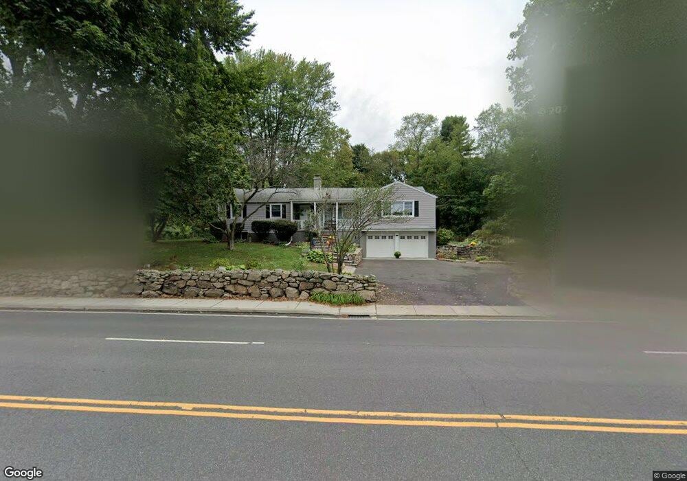
2539 Post Rd Darien, CT 06820
Estimated Value: $922,000 - $1,849,000
3
Beds
3
Baths
2,016
Sq Ft
$652/Sq Ft
Est. Value
About This Home
This home is located at 2539 Post Rd, Darien, CT 06820 and is currently estimated at $1,314,986, approximately $652 per square foot. 2539 Post Rd is a home located in Fairfield County with nearby schools including Hindley Elementary School, Middlesex Middle School, and Darien High School.
Ownership History
Date
Name
Owned For
Owner Type
Purchase Details
Closed on
Jul 20, 1998
Sold by
Dowd Mary C
Bought by
Conetta Dennis and Conetta Mliss
Current Estimated Value
Purchase Details
Closed on
Jun 16, 1987
Sold by
Mongillo John
Bought by
Dowd Mary
Create a Home Valuation Report for This Property
The Home Valuation Report is an in-depth analysis detailing your home's value as well as a comparison with similar homes in the area
Home Values in the Area
Average Home Value in this Area
Purchase History
| Date | Buyer | Sale Price | Title Company |
|---|---|---|---|
| Conetta Dennis | $377,000 | -- | |
| Dowd Mary | $359,000 | -- |
Source: Public Records
Mortgage History
| Date | Status | Borrower | Loan Amount |
|---|---|---|---|
| Open | Dowd Mary | $250,000 | |
| Closed | Dowd Mary | $190,000 | |
| Closed | Dowd Mary | $180,000 |
Source: Public Records
Tax History
| Year | Tax Paid | Tax Assessment Tax Assessment Total Assessment is a certain percentage of the fair market value that is determined by local assessors to be the total taxable value of land and additions on the property. | Land | Improvement |
|---|---|---|---|---|
| 2025 | $10,481 | $677,040 | $470,680 | $206,360 |
| 2024 | $9,946 | $677,040 | $470,680 | $206,360 |
| 2023 | $9,107 | $517,160 | $336,210 | $180,950 |
| 2022 | $8,911 | $517,160 | $336,210 | $180,950 |
| 2021 | $8,709 | $517,160 | $336,210 | $180,950 |
| 2020 | $4,675 | $517,160 | $336,210 | $180,950 |
| 2019 | $8,518 | $517,160 | $336,210 | $180,950 |
| 2018 | $7,910 | $491,890 | $314,860 | $177,030 |
| 2017 | $7,949 | $491,890 | $314,860 | $177,030 |
| 2016 | $7,757 | $491,890 | $314,860 | $177,030 |
| 2015 | $7,551 | $491,890 | $314,860 | $177,030 |
| 2014 | $7,383 | $491,890 | $314,860 | $177,030 |
Source: Public Records
Map
Nearby Homes
- 3 Salt Box Ln E
- 29 Waterbury Ave
- 105 Houston Terrace
- 23 Beach Dr
- 32 Relihan Rd
- 77 Maple St
- 171 Sylvan Knoll Rd
- 163 Sylvan Knoll Rd
- 73 Courtland Ave Unit 163 ( 8)
- 59 Courtland Ave Unit 2T
- 209 Seaside Ave Unit 2
- 33 Dora St
- 74 Standish Rd Unit 3
- 274 Sylvan Knoll Rd
- 114 Sylvan Knoll Rd
- 104 Sylvan Knoll Rd
- 13 Patton Dr
- 254 Seaside Ave Unit A
- 421 Sylvan Knoll Rd
- 950 Cove Rd Unit B6
- 2 Hollow Tree Ridge Rd
- 2536 Boston Post Rd
- 3 Wilson Ridge Rd
- 2519 Post Rd
- 2519 Boston Post Rd
- 1 Wilson Ridge Rd
- 3 Hampton Rd
- 5 Hampton Rd
- 5 Wilson Ridge Rd
- 2536 Post Rd
- 2536 Post Rd
- 2520 Post Rd
- 2546 Post Rd
- 9 Hampton Rd
- 6 Wilson Ridge Rd
- 9 Hollow Tree Ridge Rd
- 1 Weeds Landing
- 2586 Post Rd
- 2 Wilson Ridge Rd
- 2560 Post Rd
Your Personal Tour Guide
Ask me questions while you tour the home.