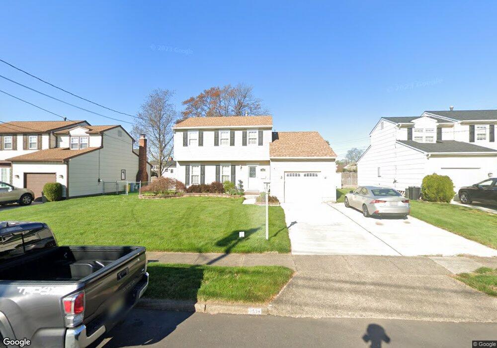
2539 Starr Rd Pennsauken, NJ 08109
Estimated Value: $368,653 - $382,000
--
Bed
--
Bath
1,634
Sq Ft
$229/Sq Ft
Est. Value
About This Home
This home is located at 2539 Starr Rd, Pennsauken, NJ 08109 and is currently estimated at $374,663, approximately $229 per square foot. 2539 Starr Rd is a home located in Camden County with nearby schools including Pennsauken High School and St. Cecilia School.
Ownership History
Date
Name
Owned For
Owner Type
Purchase Details
Closed on
Jan 14, 2002
Sold by
Estate Of David Azarian
Bought by
Heenan Charles M
Current Estimated Value
Home Financials for this Owner
Home Financials are based on the most recent Mortgage that was taken out on this home.
Original Mortgage
$113,400
Outstanding Balance
$46,341
Interest Rate
7.04%
Estimated Equity
$328,322
Create a Home Valuation Report for This Property
The Home Valuation Report is an in-depth analysis detailing your home's value as well as a comparison with similar homes in the area
Home Values in the Area
Average Home Value in this Area
Purchase History
| Date | Buyer | Sale Price | Title Company |
|---|---|---|---|
| Heenan Charles M | $126,000 | -- |
Source: Public Records
Mortgage History
| Date | Status | Borrower | Loan Amount |
|---|---|---|---|
| Open | Heenan Charles M | $113,400 |
Source: Public Records
Tax History Compared to Growth
Tax History
| Year | Tax Paid | Tax Assessment Tax Assessment Total Assessment is a certain percentage of the fair market value that is determined by local assessors to be the total taxable value of land and additions on the property. | Land | Improvement |
|---|---|---|---|---|
| 2025 | $7,790 | $351,100 | $64,600 | $286,500 |
| 2024 | $7,640 | $179,000 | $52,100 | $126,900 |
| 2023 | $7,640 | $179,000 | $52,100 | $126,900 |
| 2022 | $6,908 | $179,000 | $52,100 | $126,900 |
| 2021 | $7,094 | $179,000 | $52,100 | $126,900 |
| 2020 | $6,355 | $179,000 | $52,100 | $126,900 |
| 2019 | $6,428 | $179,000 | $52,100 | $126,900 |
| 2018 | $6,462 | $179,000 | $52,100 | $126,900 |
| 2017 | $6,474 | $179,000 | $52,100 | $126,900 |
| 2016 | $6,358 | $179,000 | $52,100 | $126,900 |
| 2015 | $6,548 | $179,000 | $52,100 | $126,900 |
| 2014 | $6,713 | $120,700 | $29,400 | $91,300 |
Source: Public Records
Map
Nearby Homes
- 2543 Burning Tree Rd
- 2617 Hadley Dr
- 2410 Shelley Ln
- 7713 Piersanti Ct
- 8221 Corbett Rd
- 7515 Baxter Ave
- 3002 Gladwyn Ave
- 7750 Hesson Ln
- 2603 Manall Ave
- 2657 Rockafellow Ave
- 7418 Harvey Ave
- 2905 Powell Ave
- 7911 Park Ave
- 7270 Githens Ave
- 7218 Irving Ave
- 7430 Walnut Ave
- 7263 Cedar Ave
- 2644 Powell Ave
- 3412 Union Ave Unit C4
- 3423 New Jersey Ct
- 2545 Starr Rd
- 2533 Starr Rd
- 2538 Burning Tree Rd
- 2544 Burning Tree Rd
- 2551 Starr Rd
- 2538 Starr Rd
- 2550 Burning Tree Rd
- 2544 Starr Rd
- 2532 Starr Rd
- 2550 Starr Rd
- 2557 Starr Rd
- 2556 Burning Tree Rd
- 2556 Starr Rd
- 2545 Pettit Rd
- 2563 Starr Rd
- 2562 Burning Tree Rd
- 2539 Pettit Rd
- 7801 Grant Ave
- 2551 Pettit Rd
- 2533 Pettit Rd