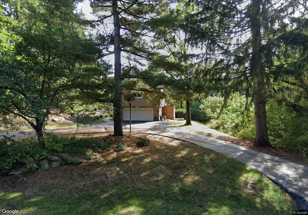
25395 Dennison Rd Franklin, MI 48025
Estimated Value: $801,473 - $1,028,000
4
Beds
4
Baths
3,274
Sq Ft
$275/Sq Ft
Est. Value
About This Home
This home is located at 25395 Dennison Rd, Franklin, MI 48025 and is currently estimated at $900,118, approximately $274 per square foot. 25395 Dennison Rd is a home located in Oakland County with nearby schools including Wylie E. Groves High School, West Maple Elementary School, and Berkshire Middle School.
Ownership History
Date
Name
Owned For
Owner Type
Purchase Details
Closed on
Nov 20, 2024
Sold by
Levine Charmley S and Levine Arthur
Bought by
Charmley S Levine Living Trust and Levine
Current Estimated Value
Create a Home Valuation Report for This Property
The Home Valuation Report is an in-depth analysis detailing your home's value as well as a comparison with similar homes in the area
Home Values in the Area
Average Home Value in this Area
Purchase History
| Date | Buyer | Sale Price | Title Company |
|---|---|---|---|
| Charmley S Levine Living Trust | -- | None Listed On Document |
Source: Public Records
Tax History
| Year | Tax Paid | Tax Assessment Tax Assessment Total Assessment is a certain percentage of the fair market value that is determined by local assessors to be the total taxable value of land and additions on the property. | Land | Improvement |
|---|---|---|---|---|
| 2025 | $5,757 | $375,080 | $0 | $0 |
| 2024 | $6,684 | $360,020 | $0 | $0 |
| 2023 | $6,338 | $366,670 | $0 | $0 |
| 2022 | $6,859 | $323,260 | $0 | $0 |
| 2021 | $6,831 | $273,270 | $0 | $0 |
| 2020 | $5,829 | $255,990 | $0 | $0 |
| 2019 | $5,310 | $253,690 | $0 | $0 |
| 2018 | $6,884 | $249,780 | $0 | $0 |
| 2017 | $7,021 | $249,780 | $0 | $0 |
| 2016 | $6,440 | $246,560 | $0 | $0 |
| 2015 | -- | $234,420 | $0 | $0 |
| 2014 | -- | $208,430 | $0 | $0 |
| 2011 | -- | $182,020 | $0 | $0 |
Source: Public Records
Map
Nearby Homes
- 25635 River Dr
- 32921 Wing Lake Rd
- 32696 Ravine Dr
- 24700 N Cromwell Dr
- 7303 Brookside Village Ct
- 7310 Sandy Creek Ln
- 24500 Tudor Ln
- 4428 Old Trinity Ct
- 24924 Riverwood Dr
- 7118 Cathedral Dr
- 25933 Hersheyvale Dr
- 26377 Willowgreen Dr
- 26565 Scenic Hwy
- 7200 Telegraph Rd
- 6900 Franklin Rd
- 7515 Hiddenbrook Ln
- 7357 W Greenwich Dr
- 32322 Scenic Ln
- 6775 Cedarbrook Dr
- 32870 Bingham Ln
- 25365 Dennison Rd
- 32820 Whatley Rd
- 32640 Whatley Rd
- 25335 Dennison Rd
- 25350 Dennison Rd
- 25425 Dennison Rd
- 32600 Whatley Rd
- 25600 River Dr
- 32860 Whatley Rd
- 32501 Romsey Rd Unit Bldg-Unit
- 32501 Romsey Rd
- 25455 Dennison Rd
- 25630 River Dr
- 32877 Romsey Rd
- 32700 Romsey Rd
- 32845 Whatley Rd Unit Bldg-Unit
- 32845 Whatley Rd
- 32845 Whatley Rd
- 32401 Romsey Rd
- 32540 Romsey Rd
Your Personal Tour Guide
Ask me questions while you tour the home.