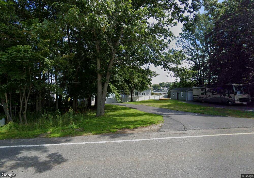
253B Thompson Rd Webster, MA 01570
Estimated Value: $395,326 - $531,000
3
Beds
1
Bath
1,104
Sq Ft
$430/Sq Ft
Est. Value
About This Home
This home is located at 253B Thompson Rd, Webster, MA 01570 and is currently estimated at $475,082, approximately $430 per square foot. 253B Thompson Rd is a home located in Worcester County with nearby schools including Park Avenue Elementary School, Webster Middle School, and Bartlett High School.
Ownership History
Date
Name
Owned For
Owner Type
Purchase Details
Closed on
May 3, 2024
Sold by
Fitzpatrick Irt and Fitzpatrick
Bought by
D J Fitzpatrick Jr Ret and Fitzpatrick
Current Estimated Value
Purchase Details
Closed on
Mar 15, 2011
Sold by
Fitzpatrick Antonia Maria and Fitzpatrick Donal J
Bought by
Fitzpatrick Irt and Fitzpatrick
Create a Home Valuation Report for This Property
The Home Valuation Report is an in-depth analysis detailing your home's value as well as a comparison with similar homes in the area
Home Values in the Area
Average Home Value in this Area
Purchase History
| Date | Buyer | Sale Price | Title Company |
|---|---|---|---|
| D J Fitzpatrick Jr Ret | -- | None Available | |
| D J Fitzpatrick Jr Ret | -- | None Available | |
| Fitzpatrick Irt | -- | -- | |
| Fitzpatrick Irt | -- | -- | |
| Fitzpartrick Antonia M | -- | -- |
Source: Public Records
Mortgage History
| Date | Status | Borrower | Loan Amount |
|---|---|---|---|
| Previous Owner | Fitzpatrick Irt | $50,000 |
Source: Public Records
Tax History
| Year | Tax Paid | Tax Assessment Tax Assessment Total Assessment is a certain percentage of the fair market value that is determined by local assessors to be the total taxable value of land and additions on the property. | Land | Improvement |
|---|---|---|---|---|
| 2025 | $4,152 | $349,500 | $217,800 | $131,700 |
| 2024 | $3,971 | $326,000 | $209,500 | $116,500 |
| 2023 | $3,744 | $299,500 | $199,400 | $100,100 |
| 2022 | $3,874 | $277,500 | $193,700 | $83,800 |
| 2021 | $4,024 | $266,500 | $193,700 | $72,800 |
| 2020 | $3,919 | $260,200 | $193,700 | $66,500 |
| 2019 | $3,911 | $255,100 | $193,700 | $61,400 |
| 2018 | $3,651 | $237,200 | $180,000 | $57,200 |
| 2017 | $3,689 | $243,800 | $181,700 | $62,100 |
| 2016 | $3,615 | $238,800 | $181,700 | $57,100 |
| 2015 | $3,437 | $234,100 | $178,100 | $56,000 |
Source: Public Records
Map
Nearby Homes
- 0 Thompson Rd
- 53-55 Point Pleasant Rd
- 125 Birch Island Rd
- 36 Lake Pkwy
- 10 Indian Point Rd
- 00 Juniper Ln
- 13 S Point Rd
- 27 Ash St
- 1 Brook St
- 30 Valley St
- 48 Lake St
- 23 Lakeview Rd
- 66 Whitcomb St
- 17 Mount Pleasant St
- 51 &52 lot Oscar Rd
- 13 5th Ave
- 26 Wakefield Ave
- 19 Myrtle Ave
- 29 Whitcomb St
- 3 Upper Gore Rd
- 253A Thompson Rd
- 253 Thompson Rd
- 261 Thompson Rd
- 263 Thompson Rd
- 265 Thompson Rd
- 258 Thompson Rd
- 256 Thompson Rd
- 260 Thompson Rd
- 267 Thompson Rd
- 251 Thompson Rd
- 252 Thompson Rd
- 250 Thompson Rd
- 264 Thompson Rd
- 279 Thompson Rd
- 247 Thompson Rd
- 246 Thompson Rd
- 245 Thompson Rd
- 243 Thompson Rd
- 27 Point Pleasant Rd
- 31 Point Pleasant Rd
Your Personal Tour Guide
Ask me questions while you tour the home.