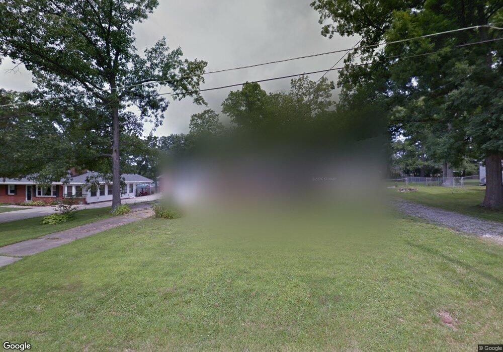
254 1st St Mount Washington, KY 40047
Estimated Value: $239,000 - $274,000
4
Beds
1
Bath
1,520
Sq Ft
$168/Sq Ft
Est. Value
About This Home
This home is located at 254 1st St, Mount Washington, KY 40047 and is currently estimated at $256,044, approximately $168 per square foot. 254 1st St is a home located in Bullitt County with nearby schools including Crossroads Elementary School, Mt. Washington Middle School, and Bullitt East High School.
Ownership History
Date
Name
Owned For
Owner Type
Purchase Details
Closed on
Sep 25, 2021
Sold by
Emberg Brenda A and Emberg Kirk A
Bought by
Emberg Kirk A and Todd Alexandria
Current Estimated Value
Home Financials for this Owner
Home Financials are based on the most recent Mortgage that was taken out on this home.
Original Mortgage
$137,000
Outstanding Balance
$123,568
Interest Rate
2.8%
Mortgage Type
New Conventional
Estimated Equity
$132,476
Purchase Details
Closed on
Jul 11, 2019
Sold by
Whitney Carby Lee and Whitney Adam C
Bought by
Emberg Kirk A and Emberg Brenda
Home Financials for this Owner
Home Financials are based on the most recent Mortgage that was taken out on this home.
Original Mortgage
$137,464
Interest Rate
3.9%
Mortgage Type
FHA
Purchase Details
Closed on
Jul 1, 2019
Sold by
Emberg Kirk A
Bought by
Emberg Kirk A and Emberg Brenda
Home Financials for this Owner
Home Financials are based on the most recent Mortgage that was taken out on this home.
Original Mortgage
$137,464
Interest Rate
3.9%
Mortgage Type
FHA
Create a Home Valuation Report for This Property
The Home Valuation Report is an in-depth analysis detailing your home's value as well as a comparison with similar homes in the area
Home Values in the Area
Average Home Value in this Area
Purchase History
| Date | Buyer | Sale Price | Title Company |
|---|---|---|---|
| Emberg Kirk A | -- | Nationallink | |
| Emberg Kirk A | -- | Nationallink | |
| Emberg Kirk A | $140,000 | Harpole John W | |
| Emberg Kirk A | $70,000 | Agency Title |
Source: Public Records
Mortgage History
| Date | Status | Borrower | Loan Amount |
|---|---|---|---|
| Open | Emberg Kirk A | $137,000 | |
| Closed | Emberg Kirk A | $137,000 | |
| Previous Owner | Emberg Kirk A | $137,464 | |
| Previous Owner | Emberg Kirk A | $137,464 |
Source: Public Records
Tax History
| Year | Tax Paid | Tax Assessment Tax Assessment Total Assessment is a certain percentage of the fair market value that is determined by local assessors to be the total taxable value of land and additions on the property. | Land | Improvement |
|---|---|---|---|---|
| 2025 | $2,119 | $168,276 | $0 | $168,276 |
| 2024 | $2,136 | $168,276 | $0 | $168,276 |
| 2023 | $2,123 | $168,276 | $0 | $168,276 |
| 2022 | $2,143 | $168,276 | $0 | $168,276 |
| 2021 | $2,303 | $168,276 | $0 | $0 |
| 2020 | $165 | $168,276 | $0 | $0 |
| 2019 | $2,065 | $168,276 | $0 | $0 |
| 2018 | $1,745 | $138,196 | $0 | $0 |
| 2017 | $1,725 | $138,196 | $0 | $0 |
| 2016 | $1,698 | $138,196 | $0 | $0 |
| 2015 | $1,467 | $138,196 | $0 | $0 |
| 2014 | $1,531 | $138,196 | $0 | $0 |
Source: Public Records
Map
Nearby Homes
- 181 Shawnee Cir
- Tract 3 Flatlick Rd
- 376 Gene St
- 112 Benjamin Place
- 133 Bethany Ct
- 268 Spencer Ln
- 214 Spencer Ln
- 106 Willow Creek Ct
- 186 Kevin Place
- 801 Justin Trail
- 819 Justin Trail
- 279 Hill Terrace Dr
- 242 Kimberly Dr
- 214 Garnette Ct
- 514 Hill Terrace Dr
- 120 Woodlake Ct
- 200 E Woodlake Cir
- 465 Meadowcrest Dr
- 494 Louise Way
- 263 Woodlake Dr
Your Personal Tour Guide
Ask me questions while you tour the home.