254 Andys Cir Dahlonega, GA 30533
Estimated Value: $334,000 - $456,000
--
Bed
--
Bath
1,920
Sq Ft
$204/Sq Ft
Est. Value
About This Home
This home is located at 254 Andys Cir, Dahlonega, GA 30533 and is currently estimated at $390,910, approximately $203 per square foot. 254 Andys Cir is a home with nearby schools including Lumpkin County High School.
Ownership History
Date
Name
Owned For
Owner Type
Purchase Details
Closed on
May 16, 2024
Sold by
Bryson Charlina
Bought by
Bryson Amanda J
Current Estimated Value
Purchase Details
Closed on
May 20, 2008
Sold by
Bryson Gilleland Homes
Bought by
Bryson Mark W and Bryson Charlina
Purchase Details
Closed on
Mar 19, 2004
Sold by
Bryson Mark W
Bought by
Bryson & Gilleland Homes Llc
Purchase Details
Closed on
Sep 28, 1990
Sold by
Martin B R
Bought by
Martin Jessie Jeanet
Purchase Details
Closed on
Dec 1, 1989
Bought by
Martin B R
Create a Home Valuation Report for This Property
The Home Valuation Report is an in-depth analysis detailing your home's value as well as a comparison with similar homes in the area
Home Values in the Area
Average Home Value in this Area
Purchase History
| Date | Buyer | Sale Price | Title Company |
|---|---|---|---|
| Bryson Amanda J | -- | -- | |
| Bryson Mark W | -- | -- | |
| Bryson & Gilleland Homes Llc | -- | -- | |
| Bryson Mark W | $38,600 | -- | |
| Martin Jessie Jeanet | -- | -- | |
| Martin B R | $18,000 | -- |
Source: Public Records
Tax History Compared to Growth
Tax History
| Year | Tax Paid | Tax Assessment Tax Assessment Total Assessment is a certain percentage of the fair market value that is determined by local assessors to be the total taxable value of land and additions on the property. | Land | Improvement |
|---|---|---|---|---|
| 2024 | $3,107 | $130,147 | $9,272 | $120,875 |
| 2023 | $2,858 | $121,509 | $8,665 | $112,844 |
| 2022 | $2,638 | $106,550 | $7,224 | $99,326 |
| 2021 | $2,300 | $89,857 | $7,224 | $82,633 |
| 2020 | $2,302 | $87,257 | $6,919 | $80,338 |
| 2019 | $184 | $6,919 | $6,919 | $0 |
| 2018 | $196 | $6,919 | $6,919 | $0 |
| 2017 | $200 | $6,919 | $6,919 | $0 |
| 2016 | $207 | $6,919 | $6,919 | $0 |
| 2015 | $182 | $6,919 | $6,919 | $0 |
| 2014 | $182 | $6,919 | $6,919 | $0 |
| 2013 | -- | $6,918 | $6,918 | $0 |
Source: Public Records
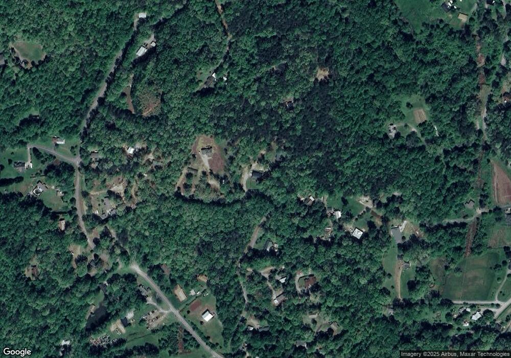
Map
Nearby Homes
- 0 Woodland Ln Unit 10570991
- 7B Strada Valdichiana
- 931 Homer Edwards Rd
- 120 Sanders Blvd
- 100 Sanders Blvd
- 64 Hickory Ln
- 1202 Oak Grove Rd
- 132 J Mountain Dr
- 549 Ivy Terrace
- 70 Avery Trail
- 81 Anderson Dr
- 121 Blair Ridge Rd
- 120 Blair Ridge Rd
- 20 Angels Way
- 5.31 Tom Bell Odom Rd
- 543 Rider Mill Rd
- 253 Blair Ridge Rd
- 160 Piazza Pomino
- 222 Andys Cir
- 284 Andys Cir
- 184 Andys Cir
- 00 Andys Cir
- 0 Andys Cir
- 0 Andys Cir Unit 3120261
- Lot 56 Old Stamp Mill
- 0 Long Branch Unit 8461731
- 1191 0 Maxwell Ln Rd
- 0 Highland Rd E Unit 8457154
- 0 Highland Rd E Unit 6074293
- 0 Highlands Rd Unit 6074271
- 0 Strada Valdichana Rd Unit 6A 8455458
- 0 Forest Service Rd Unit 8453791
- 0 Forest Service Rd Unit 6073125
- 0 Harley Ln Unit 6071637
- 0 Harley Ln Unit 8452036
- 000 Young Deer Dr
- 0 Black Falls Rd Unit 8449544
- 0 Black Falls Rd Unit 6069547