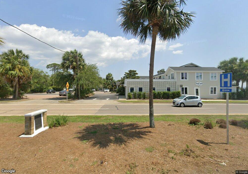
254 B Ave Port Saint Joe, FL 32456
Estimated Value: $63,036 - $227,000
2
Beds
1
Bath
1,200
Sq Ft
$128/Sq Ft
Est. Value
About This Home
This home is located at 254 B Ave, Port Saint Joe, FL 32456 and is currently estimated at $153,259, approximately $127 per square foot. 254 B Ave is a home located in Gulf County with nearby schools including Growing Minds Center.
Ownership History
Date
Name
Owned For
Owner Type
Purchase Details
Closed on
Oct 16, 2020
Sold by
Cole Tony and Cole Cheri
Bought by
Singer John
Current Estimated Value
Purchase Details
Closed on
Jun 30, 2014
Sold by
Fannie Mae
Bought by
Cole Tony and Cole Cheri
Purchase Details
Closed on
Apr 18, 2014
Sold by
Wells Fargo Bank Na
Bought by
Federal National Mortgage Association
Purchase Details
Closed on
Feb 24, 2014
Sold by
Wells Fargo Bank Na
Bought by
Federal National Mortgage Association
Purchase Details
Closed on
Dec 17, 2013
Sold by
Dumas Ruth R
Bought by
Wells Fargo Bank Na
Create a Home Valuation Report for This Property
The Home Valuation Report is an in-depth analysis detailing your home's value as well as a comparison with similar homes in the area
Home Values in the Area
Average Home Value in this Area
Purchase History
| Date | Buyer | Sale Price | Title Company |
|---|---|---|---|
| Singer John | $43,000 | Attorney | |
| Cole Tony | $17,200 | Attorney | |
| Federal National Mortgage Association | -- | Attorney | |
| Federal National Mortgage Association | -- | Attorney | |
| Wells Fargo Bank Na | $62,818 | None Available |
Source: Public Records
Tax History Compared to Growth
Tax History
| Year | Tax Paid | Tax Assessment Tax Assessment Total Assessment is a certain percentage of the fair market value that is determined by local assessors to be the total taxable value of land and additions on the property. | Land | Improvement |
|---|---|---|---|---|
| 2024 | $249 | $41,688 | -- | -- |
| 2023 | $240 | $40,474 | $18,000 | $22,474 |
| 2022 | $279 | $42,423 | $18,000 | $24,423 |
| 2021 | $636 | $38,220 | $16,000 | $22,220 |
| 2020 | $298 | $19,999 | $10,000 | $9,999 |
| 2019 | $251 | $14,606 | $4,000 | $10,606 |
| 2018 | $786 | $45,224 | $0 | $0 |
| 2017 | $796 | $45,702 | $0 | $0 |
| 2016 | $832 | $46,333 | $0 | $0 |
| 2015 | $861 | $46,965 | $0 | $0 |
| 2014 | $938 | $53,434 | $0 | $0 |
Source: Public Records
Map
Nearby Homes
- TBD Avenue C
- Lot 15 Avenue C
- 238 Avenue C
- 308 Martin Luther King Blvd
- 308 Martin Luther King jr Blvd
- 186 Avenue E
- 221 Avenue E
- 524 Martin Luther King Blvd
- Lot 8 Avenue F
- 328 Avenue C
- 155 Robbins Ave
- 304 Long Ave
- 111 Sailors Cove Dr
- 317 Williams Ave
- 208 3rd St
- 309 Monument Ave
- 411 Ling St
- Lot 4 Simmons Way Dr
- Lot 1 Simmons Way Dr
- 130 Village Dr
- 254 Avenue B
- 256 Avenue B
- 255 Avenue B
- 244 Avenue B
- 0 Avenue B Unit Lot 27 260224
- 186 Avenue B
- 0 Avenue B
- 249 Ave a
- 249 Ave a Unit 3
- 249 Ave a Unit 1
- 249 Ave a Unit 2
- 253 Avenue A Unit 3
- 253 Avenue A Unit 2
- 253 Avenue A Unit 1
- 251 Avenue A
- 249 Avenue A Unit 3
- 249 Avenue A Unit 2
- 249 Avenue A Unit 1
- 253 Ave a
- 253 Ave a Unit 3
