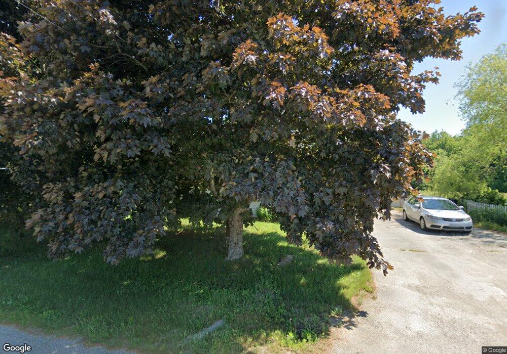
254 Back Ridge Rd Orland, ME 04472
Estimated Value: $342,376 - $448,000
4
Beds
2
Baths
2,085
Sq Ft
$181/Sq Ft
Est. Value
About This Home
This home is located at 254 Back Ridge Rd, Orland, ME 04472 and is currently estimated at $377,594, approximately $181 per square foot. 254 Back Ridge Rd is a home located in Hancock County with nearby schools including G. Herbert Jewett School, Miles Lane School, and Bucksport Middle School.
Ownership History
Date
Name
Owned For
Owner Type
Purchase Details
Closed on
Aug 2, 2006
Sold by
Lagasse Michael W and Lagasse Jennifer A
Bought by
Claflin Allen H and Claflin Amy M
Current Estimated Value
Home Financials for this Owner
Home Financials are based on the most recent Mortgage that was taken out on this home.
Original Mortgage
$151,897
Outstanding Balance
$90,899
Interest Rate
6.7%
Mortgage Type
Purchase Money Mortgage
Estimated Equity
$286,695
Create a Home Valuation Report for This Property
The Home Valuation Report is an in-depth analysis detailing your home's value as well as a comparison with similar homes in the area
Home Values in the Area
Average Home Value in this Area
Purchase History
| Date | Buyer | Sale Price | Title Company |
|---|---|---|---|
| Claflin Allen H | -- | -- |
Source: Public Records
Mortgage History
| Date | Status | Borrower | Loan Amount |
|---|---|---|---|
| Open | Claflin Allen H | $151,897 |
Source: Public Records
Tax History Compared to Growth
Tax History
| Year | Tax Paid | Tax Assessment Tax Assessment Total Assessment is a certain percentage of the fair market value that is determined by local assessors to be the total taxable value of land and additions on the property. | Land | Improvement |
|---|---|---|---|---|
| 2024 | $2,137 | $175,480 | $36,750 | $138,730 |
| 2023 | $2,067 | $175,480 | $36,750 | $138,730 |
| 2022 | $1,716 | $175,480 | $36,750 | $138,730 |
| 2021 | $2,000 | $130,690 | $19,740 | $110,950 |
| 2020 | $2,000 | $130,690 | $19,740 | $110,950 |
| 2019 | $2,026 | $130,690 | $19,740 | $110,950 |
| 2018 | $1,920 | $130,690 | $19,740 | $110,950 |
| 2017 | $1,823 | $130,690 | $19,740 | $110,950 |
| 2016 | $1,790 | $130,690 | $19,740 | $110,950 |
| 2015 | $1,790 | $130,690 | $19,740 | $110,950 |
| 2014 | $1,856 | $130,690 | $19,740 | $110,950 |
| 2013 | $1,856 | $130,690 | $19,740 | $110,950 |
Source: Public Records
Map
Nearby Homes
- 348 Back Ridge Rd
- 160 Front Ridge Rd
- M4L15&16 Acadia Hwy
- MAP4LOT17 Acadia Hwy
- 41 Wildwood Ln
- 130 Hartview Cir
- 155 Long Point Way
- 0 Meadow Brook Ln
- 123 Front Ridge Rd
- 0 map 7/1 Ebens Trail
- 0 map 7/2 Ebens Trail
- MAP19LOT28 Leach Rd
- M13, L36 Harland Cunningham Rd
- 54 Gross Point Rd
- Lot 37 Wedge Heights
- 12 Mount View Ln
- 52 State Route 46
- Lot #11 Russell Hill Rd
- Lot #4 Russell Hill Rd
- Lot #5 Russell Hill Rd
- 239 Back Ridge Rd
- 241 Back Ridge Rd
- 268 Back Ridge Rd
- 230 Back Ridge Rd
- 0 Back Ridge Rd
- 264 Back Ridge Rd
- 00 Cedar Swamp Rd
- 221 Back Ridge Rd
- 286 Back Ridge Rd
- 157 Cedar Swamp Rd
- 207 Back Ridge Rd
- 299 Back Ridge Rd
- 196 Back Ridge Rd
- 190 Back Ridge Rd
- 0 Pond Shore
- 0 Pond Shore Way
- 323 Back Ridge Rd
- 36 Pond Shore Way
- 5 Pond Shore Way
- 3-23E Pond Shore Way