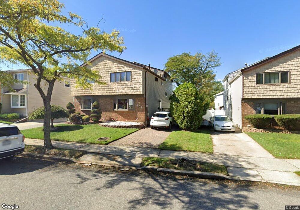
254 Brookfield Ave Staten Island, NY 10308
Great Kills NeighborhoodEstimated Value: $636,591 - $723,000
--
Bed
4
Baths
1,404
Sq Ft
$489/Sq Ft
Est. Value
About This Home
This home is located at 254 Brookfield Ave, Staten Island, NY 10308 and is currently estimated at $686,898, approximately $489 per square foot. 254 Brookfield Ave is a home located in Richmond County with nearby schools including P.S. 32 The Gifford School, I.S. 075 Frank D. Paulo, and Susan E Wagner High School.
Ownership History
Date
Name
Owned For
Owner Type
Purchase Details
Closed on
Jan 17, 2003
Sold by
Larocca Doris
Bought by
Basich James T and Basich Mary
Current Estimated Value
Home Financials for this Owner
Home Financials are based on the most recent Mortgage that was taken out on this home.
Original Mortgage
$215,000
Interest Rate
5.9%
Mortgage Type
Purchase Money Mortgage
Purchase Details
Closed on
Jun 3, 1998
Sold by
Larocca Joseph A and Larocca Doris
Bought by
Larocca Doris
Home Financials for this Owner
Home Financials are based on the most recent Mortgage that was taken out on this home.
Original Mortgage
$62,301
Interest Rate
7.09%
Create a Home Valuation Report for This Property
The Home Valuation Report is an in-depth analysis detailing your home's value as well as a comparison with similar homes in the area
Home Values in the Area
Average Home Value in this Area
Purchase History
| Date | Buyer | Sale Price | Title Company |
|---|---|---|---|
| Basich James T | $305,000 | Commonwealth Land Title Ins | |
| Larocca Doris | $37,000 | -- |
Source: Public Records
Mortgage History
| Date | Status | Borrower | Loan Amount |
|---|---|---|---|
| Previous Owner | Basich James T | $215,000 | |
| Previous Owner | Larocca Doris | $62,301 |
Source: Public Records
Tax History Compared to Growth
Tax History
| Year | Tax Paid | Tax Assessment Tax Assessment Total Assessment is a certain percentage of the fair market value that is determined by local assessors to be the total taxable value of land and additions on the property. | Land | Improvement |
|---|---|---|---|---|
| 2025 | $5,931 | $38,700 | $7,334 | $31,366 |
| 2024 | $5,943 | $36,600 | $7,403 | $29,197 |
| 2023 | $5,734 | $29,635 | $6,760 | $22,875 |
| 2022 | $5,629 | $33,540 | $8,760 | $24,780 |
| 2021 | $5,720 | $31,860 | $8,760 | $23,100 |
| 2020 | $5,419 | $33,300 | $8,760 | $24,540 |
| 2019 | $5,099 | $31,920 | $8,760 | $23,160 |
| 2018 | $4,737 | $24,696 | $8,444 | $16,252 |
| 2017 | $4,735 | $24,696 | $7,977 | $16,719 |
| 2016 | $4,458 | $23,850 | $8,749 | $15,101 |
| 2015 | $3,817 | $22,500 | $7,320 | $15,180 |
| 2014 | $3,817 | $21,480 | $7,320 | $14,160 |
Source: Public Records
Map
Nearby Homes
- 307 Abingdon Ave
- 339 Abingdon Ave
- 259 Brookfield Ave
- 345 Colon Ave
- 919 Armstrong Ave
- 248 Abingdon Ave
- 185 Brookfield Ave
- 26 E Brandis Ave
- 223 Abingdon Ave
- 350 Brookfield Ave
- 924 Armstrong Ave Unit 2-3
- 271 Doane Ave
- 414 Elverton Ave
- 74 E Brandis Ave
- 63 Genesee Ave
- 72 Eric Ln
- 379 Brookfield Ave
- 131 Cortelyou Ave Unit 1-1
- 466 Doane Ave
- 57 Middle Loop Rd
- 252 Brookfield Ave
- 258 Brookfield Ave
- 250 Brookfield Ave
- 260 Brookfield Ave
- 248 Brookfield Ave
- 262 Brookfield Ave
- 244 Brookfield Ave Unit 246
- 244-246 Brookfield Ave
- 319 Abingdon Ave
- 321 Abingdon Ave
- 317 Abingdon Ave
- 323 Abingdon Ave
- 264 Brookfield Ave
- 315 Abingdon Ave
- 325 Abingdon Ave
- 242 Brookfield Ave
- 327 Abingdon Ave
- 266 Brookfield Ave
- 329 Abingdon Ave
- 240 Brookfield Ave