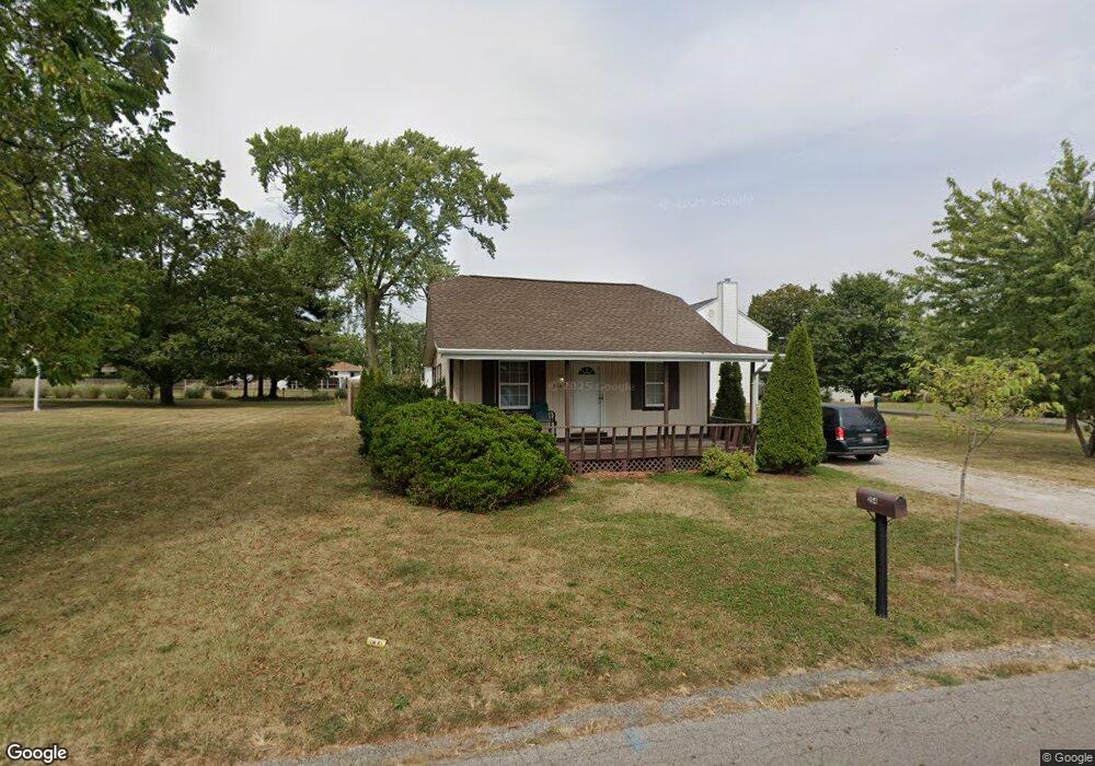
254 Colton Rd Columbus, OH 43207
Obetz-Lockbourne NeighborhoodEstimated Value: $88,000 - $204,000
3
Beds
1
Bath
844
Sq Ft
$169/Sq Ft
Est. Value
About This Home
This home is located at 254 Colton Rd, Columbus, OH 43207 and is currently estimated at $142,599, approximately $168 per square foot. 254 Colton Rd is a home located in Franklin County with nearby schools including Parsons Elementary School, Buckeye Middle School, and Marion-Franklin High School.
Ownership History
Date
Name
Owned For
Owner Type
Purchase Details
Closed on
Nov 14, 2012
Sold by
Lapczynski D J
Bought by
Barker Robert E and Barker Emma J
Current Estimated Value
Purchase Details
Closed on
Jan 8, 2009
Sold by
Secretary Of Housing & Urban Development
Bought by
Lapczynski D J
Purchase Details
Closed on
Dec 6, 2007
Sold by
Fowler Jerry E and Gmac Mortgage Corp
Bought by
Hud
Purchase Details
Closed on
Jan 30, 1995
Sold by
Iacoboni John F
Bought by
Allton Guy L and Allton Rhonda K
Home Financials for this Owner
Home Financials are based on the most recent Mortgage that was taken out on this home.
Original Mortgage
$50,920
Interest Rate
9.28%
Mortgage Type
FHA
Purchase Details
Closed on
Jun 1, 1986
Create a Home Valuation Report for This Property
The Home Valuation Report is an in-depth analysis detailing your home's value as well as a comparison with similar homes in the area
Home Values in the Area
Average Home Value in this Area
Purchase History
| Date | Buyer | Sale Price | Title Company |
|---|---|---|---|
| Barker Robert E | $30,000 | None Available | |
| Lapczynski D J | $25,000 | Lakeside Ti | |
| Hud | $44,000 | None Available | |
| Allton Guy L | $51,000 | -- | |
| -- | $41,000 | -- |
Source: Public Records
Mortgage History
| Date | Status | Borrower | Loan Amount |
|---|---|---|---|
| Previous Owner | Allton Guy L | $50,920 |
Source: Public Records
Tax History Compared to Growth
Tax History
| Year | Tax Paid | Tax Assessment Tax Assessment Total Assessment is a certain percentage of the fair market value that is determined by local assessors to be the total taxable value of land and additions on the property. | Land | Improvement |
|---|---|---|---|---|
| 2024 | $1,664 | $36,300 | $12,010 | $24,290 |
| 2023 | $1,643 | $36,295 | $12,005 | $24,290 |
| 2022 | $1,876 | $23,520 | $9,660 | $13,860 |
| 2021 | $1,252 | $23,520 | $9,660 | $13,860 |
| 2020 | $1,254 | $23,520 | $9,660 | $13,860 |
| 2019 | $1,254 | $20,160 | $8,400 | $11,760 |
| 2018 | $626 | $20,160 | $8,400 | $11,760 |
| 2017 | $1,253 | $20,160 | $8,400 | $11,760 |
| 2016 | $1,427 | $21,010 | $4,240 | $16,770 |
| 2015 | $650 | $21,010 | $4,240 | $16,770 |
| 2014 | $1,303 | $21,010 | $4,240 | $16,770 |
| 2013 | $676 | $22,085 | $4,445 | $17,640 |
Source: Public Records
Map
Nearby Homes
- 202 Williams Rd
- 256 Rumsey Rd Unit 258
- 3380 Parsons Ave
- 3414 Parsons Ave
- 245 Marilla Rd
- 3161 Lewis Rd
- 228 Currier Dr
- 503 Ashwood Rd
- 525 Ashwood Rd
- 1633-1635 E Greenway Ave
- 3714 Parsons Ave
- 3691 Ferman Rd
- 0 F Ave Unit 224036459
- 3691 Abney Rd
- 312 Harland Dr
- 0 Parsons Ave Unit 225012522
- 552 Harland Dr
- 3735 Christie Rd W
- 145 Ziegler Ave
- 696 Williams Rd