Estimated Value: $201,927 - $207,000
3
Beds
1
Bath
1,280
Sq Ft
$160/Sq Ft
Est. Value
About This Home
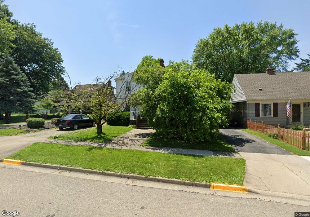
This home is located at 254 Corwin Ave, Xenia, OH 45385 and is currently estimated at $205,232, approximately $160 per square foot. 254 Corwin Ave is a home located in Greene County with nearby schools including Xenia High School, Summit Academy Community School for Alternative Learners - Xenia, and Legacy Christian Academy.
Ownership History
Date
Name
Owned For
Owner Type
Purchase Details
Closed on
Aug 24, 2000
Sold by
Vonderwell Michael J
Bought by
Vonderwell Lenora J
Current Estimated Value
Home Financials for this Owner
Home Financials are based on the most recent Mortgage that was taken out on this home.
Original Mortgage
$81,959
Outstanding Balance
$27,497
Interest Rate
8.15%
Estimated Equity
$177,735
Purchase Details
Closed on
Aug 16, 1994
Sold by
Lemp Gregory S
Bought by
Vonderwell Michael J and Vonderwell J
Home Financials for this Owner
Home Financials are based on the most recent Mortgage that was taken out on this home.
Original Mortgage
$61,000
Interest Rate
8.62%
Mortgage Type
New Conventional
Create a Home Valuation Report for This Property
The Home Valuation Report is an in-depth analysis detailing your home's value as well as a comparison with similar homes in the area
Home Values in the Area
Average Home Value in this Area
Purchase History
| Date | Buyer | Sale Price | Title Company |
|---|---|---|---|
| Vonderwell Lenora J | -- | -- | |
| Vonderwell Michael J | $65,000 | -- |
Source: Public Records
Mortgage History
| Date | Status | Borrower | Loan Amount |
|---|---|---|---|
| Open | Vonderwell Lenora J | $81,959 | |
| Closed | Vonderwell Michael J | $61,000 |
Source: Public Records
Tax History
| Year | Tax Paid | Tax Assessment Tax Assessment Total Assessment is a certain percentage of the fair market value that is determined by local assessors to be the total taxable value of land and additions on the property. | Land | Improvement |
|---|---|---|---|---|
| 2025 | $2,259 | $53,200 | $8,400 | $44,800 |
| 2024 | $2,259 | $53,200 | $8,400 | $44,800 |
| 2023 | $2,218 | $53,200 | $8,400 | $44,800 |
| 2022 | $1,921 | $39,270 | $5,250 | $34,020 |
| 2021 | $1,947 | $39,270 | $5,250 | $34,020 |
| 2020 | $1,863 | $39,270 | $5,250 | $34,020 |
| 2019 | $1,651 | $32,770 | $5,050 | $27,720 |
| 2018 | $1,658 | $32,770 | $5,050 | $27,720 |
| 2017 | $776 | $32,770 | $5,050 | $27,720 |
| 2016 | $1,557 | $30,220 | $5,050 | $25,170 |
| 2015 | $1,562 | $30,220 | $5,050 | $25,170 |
| 2014 | $1,494 | $30,220 | $5,050 | $25,170 |
Source: Public Records
Map
Nearby Homes
- 119 Park Dr
- 244 Edison Blvd
- 273 Edison Blvd
- 412 N King St
- 505 S Stadium Dr
- 454 E Church St
- 659 N King St
- 149 Third
- 603 Louise Dr
- 36 Leaman St
- 645 E Church St
- 559 Marshall Dr
- 607 E Main St
- 878 N Detroit St
- 637 E Main St
- 613 E 2nd St
- 400 S Detroit St
- 511 Center St
- 846 E Church St
- 305-325 Bellbrook Ave
- 264 Corwin Ave
- 238 Corwin Ave
- 272 Corwin Ave
- 77 Park Dr
- 222 Corwin Ave
- 249 Detroit Blvd
- 108 Sheridan Ave
- 261 Detroit Blvd
- 233 Detroit Blvd
- 223 Detroit Blvd
- 41 Park Dr
- 120 Sheridan Ave
- 211 Detroit Blvd
- 206 Corwin Ave
- 101 Park Dr
- 128 Sheridan Ave
- 203 Detroit Blvd
- 109 Park Dr
- 140 Sheridan Ave
- 60 E Church St
Your Personal Tour Guide
Ask me questions while you tour the home.