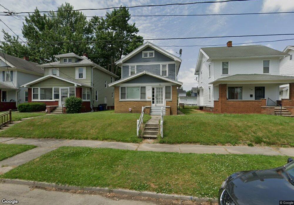
254 Decatur St Toledo, OH 43609
Southside NeighborhoodEstimated Value: $89,000 - $95,400
3
Beds
1
Bath
1,196
Sq Ft
$77/Sq Ft
Est. Value
About This Home
This home is located at 254 Decatur St, Toledo, OH 43609 and is currently estimated at $91,600, approximately $76 per square foot. 254 Decatur St is a home located in Lucas County with nearby schools including Burroughs Elementary School, Bowsher High School, and Explorers Academy of Science and Technology.
Ownership History
Date
Name
Owned For
Owner Type
Purchase Details
Closed on
Mar 21, 2018
Sold by
Holtzmann Joel Edward and Holtzmann Francis Edward
Bought by
Holtzmann Joel Edward and Holtzmann Francis Edward
Current Estimated Value
Purchase Details
Closed on
Apr 30, 1991
Sold by
Holtzmann E V and B V
Create a Home Valuation Report for This Property
The Home Valuation Report is an in-depth analysis detailing your home's value as well as a comparison with similar homes in the area
Home Values in the Area
Average Home Value in this Area
Purchase History
| Date | Buyer | Sale Price | Title Company |
|---|---|---|---|
| Holtzmann Joel Edward | -- | None Available | |
| -- | -- | -- |
Source: Public Records
Tax History Compared to Growth
Tax History
| Year | Tax Paid | Tax Assessment Tax Assessment Total Assessment is a certain percentage of the fair market value that is determined by local assessors to be the total taxable value of land and additions on the property. | Land | Improvement |
|---|---|---|---|---|
| 2024 | $591 | $17,220 | $4,830 | $12,390 |
| 2023 | $1,118 | $15,575 | $3,080 | $12,495 |
| 2022 | $1,109 | $15,575 | $3,080 | $12,495 |
| 2021 | $1,105 | $15,575 | $3,080 | $12,495 |
| 2020 | $1,143 | $14,035 | $2,835 | $11,200 |
| 2019 | $1,110 | $14,035 | $2,835 | $11,200 |
| 2018 | $1,104 | $14,035 | $2,835 | $11,200 |
| 2017 | $1,025 | $11,900 | $3,325 | $8,575 |
| 2016 | $1,000 | $34,000 | $9,500 | $24,500 |
| 2015 | $962 | $34,000 | $9,500 | $24,500 |
| 2014 | $749 | $11,910 | $3,330 | $8,580 |
| 2013 | $749 | $11,910 | $3,330 | $8,580 |
Source: Public Records
Map
Nearby Homes
- 321 Mayberry St
- 304 Mayberry St
- 226 Somerset St
- 2126 Airport Hwy
- 224 S Fearing Blvd
- 440 Somerset St
- 2332 Airline Ave
- 518 Myers St
- 142 S Detroit Ave
- 531 Shasta Dr
- 541 Apple Ave
- 144 Whiting Ave
- 140 Whiting Ave
- 1754 Finch St
- 569 Apple Ave
- 145 Whiting Ave
- 512 Woodsdale Ave
- 1777 South Ave
- 2437 Airport Hwy
- 649 Wright Ave
- 250 Decatur St
- 256 Decatur St
- 246 Decatur St
- 304 Decatur St
- 242 Decatur St
- 306 Decatur St
- 253 Mayberry St
- 310 Decatur St
- 251 Mayberry St
- 240 Decatur St
- 257 Mayberry St
- 247 Mayberry St
- 245 Mayberry St
- 0 Decatur Unit 5099685
- 303 Mayberry St
- 314 Decatur St
- 234 Decatur St
- 251 Decatur St
- 239 Mayberry St
- 247 Decatur St