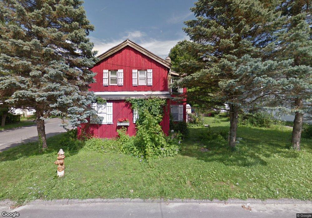
254 Dewey Ave Pittsfield, MA 01201
Estimated Value: $158,000 - $239,000
4
Beds
1
Bath
1,500
Sq Ft
$123/Sq Ft
Est. Value
About This Home
This home is located at 254 Dewey Ave, Pittsfield, MA 01201 and is currently estimated at $184,654, approximately $123 per square foot. 254 Dewey Ave is a home located in Berkshire County with nearby schools including Silvio O. Conte Community School, John T. Reid Middle School, and Taconic High School.
Ownership History
Date
Name
Owned For
Owner Type
Purchase Details
Closed on
Aug 1, 2008
Sold by
Northrup Mary Anne
Bought by
Jones-Lopes Michelle R
Current Estimated Value
Home Financials for this Owner
Home Financials are based on the most recent Mortgage that was taken out on this home.
Original Mortgage
$77,902
Outstanding Balance
$51,052
Interest Rate
6.47%
Mortgage Type
Purchase Money Mortgage
Estimated Equity
$133,602
Create a Home Valuation Report for This Property
The Home Valuation Report is an in-depth analysis detailing your home's value as well as a comparison with similar homes in the area
Home Values in the Area
Average Home Value in this Area
Purchase History
| Date | Buyer | Sale Price | Title Company |
|---|---|---|---|
| Jones-Lopes Michelle R | $79,125 | -- | |
| Jones-Lopes Michelle R | $79,125 | -- | |
| Jones-Lopes Michelle R | $79,125 | -- |
Source: Public Records
Mortgage History
| Date | Status | Borrower | Loan Amount |
|---|---|---|---|
| Open | Jones-Lopes Michelle R | $77,902 | |
| Closed | Jones-Lopes Michelle R | $77,902 | |
| Previous Owner | Jones-Lopes Michelle R | $12,000 |
Source: Public Records
Tax History
| Year | Tax Paid | Tax Assessment Tax Assessment Total Assessment is a certain percentage of the fair market value that is determined by local assessors to be the total taxable value of land and additions on the property. | Land | Improvement |
|---|---|---|---|---|
| 2025 | $1,846 | $102,900 | $26,700 | $76,200 |
| 2024 | $1,821 | $98,700 | $26,700 | $72,000 |
| 2023 | $1,689 | $92,200 | $26,700 | $65,500 |
| 2022 | $1,490 | $80,300 | $23,400 | $56,900 |
| 2021 | $1,498 | $77,800 | $23,400 | $54,400 |
| 2020 | $1,498 | $76,000 | $23,400 | $52,600 |
| 2019 | $1,608 | $82,800 | $25,300 | $57,500 |
| 2018 | $1,613 | $80,600 | $25,300 | $55,300 |
| 2017 | $1,655 | $84,300 | $26,700 | $57,600 |
| 2016 | $1,550 | $82,600 | $26,700 | $55,900 |
| 2015 | $1,492 | $82,600 | $26,700 | $55,900 |
Source: Public Records
Map
Nearby Homes
- 144 Madison Ave Unit 4
- 44 King St
- 167 Daniels Ave
- 132 Daniels Ave
- 139 Robbins Ave
- 0 Onota St
- 195 Francis Ave
- 153 Dewey Ave
- 147 Dewey Ave
- 50 John St
- 24 Southern Ave
- 58 Seymour St
- 21 Linden St
- 334 Columbus Ave
- 17 Linden St
- 22 S Atlantic Ave
- 20 Crystal St
- 68 Lakeway Dr
- 47 Onota St
- 33 Maplewood Ave Unit 103
- 248 Dewey Ave
- 161 Madison Ave
- 166 Madison Ave
- 162 Madison Ave
- 257 Dewey Ave
- 242 Dewey Ave
- 158 Madison Ave
- 229 Robbins Ave
- 261 Dewey Ave
- 253 Dewey Ave
- 247 Dewey Ave
- 247 Dewey Ave Unit 249
- 227 Robbins Ave
- 154 Madison Ave
- 274 Dewey Ave
- 221 Robbins Ave
- 241 Robbins Ave
- 148 Madison Ave
- 8 Leidhold Place
- 239 Robbins Ave
Your Personal Tour Guide
Ask me questions while you tour the home.