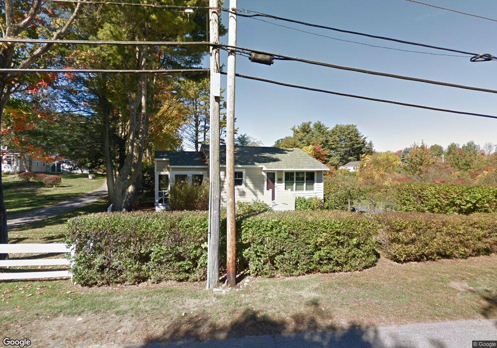
254 Long Sands Rd York, ME 03909
York Harbor NeighborhoodEstimated Value: $561,000 - $655,174
2
Beds
1
Bath
662
Sq Ft
$898/Sq Ft
Est. Value
About This Home
This home is located at 254 Long Sands Rd, York, ME 03909 and is currently estimated at $594,544, approximately $898 per square foot. 254 Long Sands Rd is a home located in York County with nearby schools including Coastal Ridge Elementary School, Village Elementary School, and York Middle School.
Ownership History
Date
Name
Owned For
Owner Type
Purchase Details
Closed on
Jul 25, 2008
Sold by
Tarca John W
Bought by
Stickney Amy E
Current Estimated Value
Home Financials for this Owner
Home Financials are based on the most recent Mortgage that was taken out on this home.
Original Mortgage
$190,400
Outstanding Balance
$122,172
Interest Rate
5.88%
Mortgage Type
Unknown
Estimated Equity
$472,372
Create a Home Valuation Report for This Property
The Home Valuation Report is an in-depth analysis detailing your home's value as well as a comparison with similar homes in the area
Home Values in the Area
Average Home Value in this Area
Purchase History
| Date | Buyer | Sale Price | Title Company |
|---|---|---|---|
| Stickney Amy E | -- | -- |
Source: Public Records
Mortgage History
| Date | Status | Borrower | Loan Amount |
|---|---|---|---|
| Open | Stickney Amy E | $190,400 |
Source: Public Records
Tax History
| Year | Tax Paid | Tax Assessment Tax Assessment Total Assessment is a certain percentage of the fair market value that is determined by local assessors to be the total taxable value of land and additions on the property. | Land | Improvement |
|---|---|---|---|---|
| 2024 | $4,035 | $480,400 | $335,800 | $144,600 |
| 2023 | $3,243 | $383,800 | $239,200 | $144,600 |
| 2022 | $2,804 | $327,900 | $193,100 | $134,800 |
| 2021 | $2,990 | $300,500 | $184,700 | $115,800 |
| 2020 | $2,869 | $258,500 | $167,900 | $90,600 |
| 2019 | $2,404 | $215,600 | $125,900 | $89,700 |
| 2018 | $1,161 | $206,300 | $117,500 | $88,800 |
| 2017 | $2,240 | $204,600 | $117,500 | $87,100 |
| 2016 | $2,281 | $204,600 | $117,500 | $87,100 |
| 2015 | $2,134 | $194,000 | $117,500 | $76,500 |
| 2014 | $2,076 | $194,000 | $117,500 | $76,500 |
| 2013 | $2,023 | $194,000 | $117,500 | $76,500 |
Source: Public Records
Map
Nearby Homes
- 263 Long Sands Rd Unit 2
- 263 Long Sands Rd Unit 2
- 208 Long Sands Rd
- 15 Summer Breeze Unit A & B
- 6 Dingle Rd Unit 4
- 6 Dingle Rd Unit 5
- 293 Long Beach Ave
- 2 Roaring Rock Rd
- 21 Fernald Ave Unit C
- 8 Jeremiah Ln
- 1 Field Ave
- 10 Yorke Ridge Way
- Lot A Juniper Rd
- 12 Cardinal Ln
- 12 Norwood Farms Rd Unit 1
- 32 Bluestone Ln
- 17 Blueberry Ln
- 801 Us Rt 1 Yorke Woods Unit K-3
- 45 Old Post Rd
- 294 York St Unit 1
- 251 Long Sands Rd
- 261 Long Sands Rd
- 250 Long Sands Rd
- 264 Long Sands Rd
- 265 Long Sands Rd
- 265 Long Sands Rd Unit 2
- 46 Ferncroft Rd
- 74 Ferncroft Rd
- 263 Long Sands Rd
- 245 Long Sands Rd
- 241 Long Sands Rd
- 2 Desmond Ln
- 244 Long Sands Rd
- 4 Desmond Ln
- 4 Davis Dr Unit 1
- 48 Desmond Ln
- 49 Ferncroft Rd
- 2 Davis Dr
- 40 Desmond Ln
- 6 Desmond Ln
Your Personal Tour Guide
Ask me questions while you tour the home.