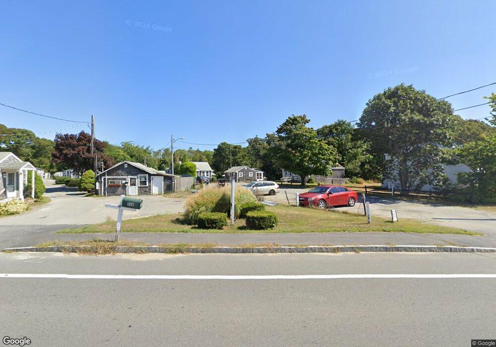
254 Main St Unit 16 Dennis, MA 02638
Dennis Village NeighborhoodEstimated Value: $209,000 - $245,000
1
Bed
1
Bath
544
Sq Ft
$428/Sq Ft
Est. Value
About This Home
This home is located at 254 Main St Unit 16, Dennis, MA 02638 and is currently estimated at $232,933, approximately $428 per square foot. 254 Main St Unit 16 is a home located in Barnstable County with nearby schools including Dennis-Yarmouth Regional High School.
Ownership History
Date
Name
Owned For
Owner Type
Purchase Details
Closed on
Jan 26, 2004
Sold by
Harback Peter D and Harback Roberta
Bought by
Baker Sean D
Current Estimated Value
Home Financials for this Owner
Home Financials are based on the most recent Mortgage that was taken out on this home.
Original Mortgage
$104,650
Outstanding Balance
$48,527
Interest Rate
5.89%
Mortgage Type
Purchase Money Mortgage
Estimated Equity
$184,406
Create a Home Valuation Report for This Property
The Home Valuation Report is an in-depth analysis detailing your home's value as well as a comparison with similar homes in the area
Home Values in the Area
Average Home Value in this Area
Purchase History
| Date | Buyer | Sale Price | Title Company |
|---|---|---|---|
| Baker Sean D | $107,900 | -- | |
| Baker Sean D | $107,900 | -- |
Source: Public Records
Mortgage History
| Date | Status | Borrower | Loan Amount |
|---|---|---|---|
| Open | Baker Sean D | $104,650 | |
| Closed | Baker Sean D | $104,650 |
Source: Public Records
Tax History Compared to Growth
Tax History
| Year | Tax Paid | Tax Assessment Tax Assessment Total Assessment is a certain percentage of the fair market value that is determined by local assessors to be the total taxable value of land and additions on the property. | Land | Improvement |
|---|---|---|---|---|
| 2025 | $902 | $208,300 | $0 | $208,300 |
| 2024 | $779 | $177,500 | $0 | $177,500 |
| 2023 | $679 | $145,500 | $0 | $145,500 |
| 2022 | $772 | $137,900 | $0 | $137,900 |
| 2021 | $823 | $136,500 | $0 | $136,500 |
| 2020 | $809 | $132,600 | $0 | $132,600 |
| 2019 | $779 | $126,200 | $0 | $126,200 |
| 2018 | $774 | $122,100 | $0 | $122,100 |
| 2017 | $849 | $138,000 | $0 | $138,000 |
| 2016 | $643 | $98,500 | $0 | $98,500 |
| 2015 | $630 | $98,500 | $0 | $98,500 |
| 2014 | $625 | $98,500 | $0 | $98,500 |
Source: Public Records
Map
Nearby Homes
- 268 Main St
- 59 Main St Unit 19-2
- 59 Route 6a Unit 29-4
- 51 Bray Farm Rd N
- 6 Thomas Ct
- 15 Signal Hill Dr
- 35 Crown Grant Dr
- 645 Main St Back Lot
- 6 Nimble Hill Dr
- 42 John Hall Cartway Unit 42
- 50 John Hall Cartway
- 50 John Hall Cartway Unit 50
- 64 Kates Path
- 42 Robbins Cir
- 19 Whig St
- 13 Covey Dr
- 19 Deacon Joseph Ln
- 228 Kates Path
- 34 Kates Path
- 34 Kates Path Unit 34
- 254 Main St Unit 23
- 254 Main St Unit 22
- 254 Main St Unit 21
- 254 Main St Unit 20
- 254 Main St Unit 19
- 254 Main St Unit 18
- 254 Main St Unit 17
- 275 Main St Unit 2
- 275 Main St Unit 1
- 255 Main St
- 243 Route-6a
- 253 Main St Unit 271
- 253 Main St
- 253 Main St Unit 10
- 253 Main St Unit 9
- 253 Main St Unit 8
- 253 Main St Unit 7
- 253 Main St Unit 6
- 253 Main St Unit 5
- 253 Main St Unit 4