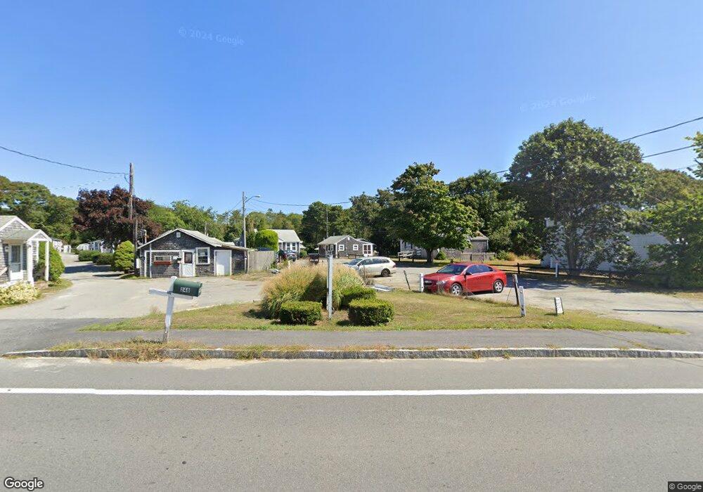
254 Main St Unit 18 Dennis, MA 02638
Dennis Village NeighborhoodEstimated Value: $131,000 - $181,000
1
Bed
1
Bath
306
Sq Ft
$515/Sq Ft
Est. Value
About This Home
This home is located at 254 Main St Unit 18, Dennis, MA 02638 and is currently estimated at $157,741, approximately $515 per square foot. 254 Main St Unit 18 is a home located in Barnstable County with nearby schools including Dennis-Yarmouth Regional High School.
Ownership History
Date
Name
Owned For
Owner Type
Purchase Details
Closed on
Jun 17, 2004
Sold by
Harback Peter D and Harback Roberta
Bought by
Levesque Daniel P
Current Estimated Value
Home Financials for this Owner
Home Financials are based on the most recent Mortgage that was taken out on this home.
Original Mortgage
$51,800
Outstanding Balance
$24,405
Interest Rate
6.12%
Mortgage Type
Purchase Money Mortgage
Estimated Equity
$133,336
Create a Home Valuation Report for This Property
The Home Valuation Report is an in-depth analysis detailing your home's value as well as a comparison with similar homes in the area
Home Values in the Area
Average Home Value in this Area
Purchase History
| Date | Buyer | Sale Price | Title Company |
|---|---|---|---|
| Levesque Daniel P | $74,000 | -- | |
| Levesque Daniel P | $74,000 | -- |
Source: Public Records
Mortgage History
| Date | Status | Borrower | Loan Amount |
|---|---|---|---|
| Open | Levesque Daniel P | $51,800 | |
| Closed | Levesque Daniel P | $51,800 |
Source: Public Records
Tax History
| Year | Tax Paid | Tax Assessment Tax Assessment Total Assessment is a certain percentage of the fair market value that is determined by local assessors to be the total taxable value of land and additions on the property. | Land | Improvement |
|---|---|---|---|---|
| 2025 | $584 | $134,800 | $0 | $134,800 |
| 2024 | $537 | $122,300 | $0 | $122,300 |
| 2023 | $468 | $100,300 | $0 | $100,300 |
| 2022 | $534 | $95,400 | $0 | $95,400 |
| 2021 | $571 | $94,700 | $0 | $94,700 |
| 2020 | $561 | $92,000 | $0 | $92,000 |
| 2019 | $540 | $87,600 | $0 | $87,600 |
| 2018 | $529 | $83,500 | $0 | $83,500 |
| 2017 | $514 | $83,500 | $0 | $83,500 |
| 2016 | $391 | $59,900 | $0 | $59,900 |
| 2015 | $383 | $59,900 | $0 | $59,900 |
| 2014 | $380 | $59,900 | $0 | $59,900 |
Source: Public Records
Map
Nearby Homes
- 268 Main St
- 26 S West Dr
- 568 Route 6a
- 59 Main St Unit 7-3
- 59 Main St Unit 19-2
- 59 Route 6a Unit 9-2
- 59 Route 6a Unit 7-3
- 39 Whittier Dr
- 59 Massachusetts 6a Unit 19-2
- 480 Main St
- 6 Thomas Ct
- 15 Signal Hill Dr
- 946 Route 6a
- 20 Bray Farm Rd S
- 14 S Yarmouth Rd
- 54 Kates Path Unit 54
- 19 Whig St
- 25 Whig St
- 74 Robbins Cir
- 15 Musket Ln
- 254 Main St Unit 23
- 254 Main St Unit 22
- 254 Main St Unit 16
- 254 Main St Unit 21
- 254 Main St Unit 20
- 254 Main St Unit 19
- 254 Main St Unit 17
- 275 Main St Unit 2
- 275 Main St Unit 1
- 255 Main St
- 243 Route-6a
- 253 Main St Unit 271
- 253 Main St
- 253 Main St Unit 10
- 253 Main St Unit 9
- 253 Main St Unit 8
- 253 Main St Unit 7
- 253 Main St Unit 6
- 253 Main St Unit 5
- 253 Main St Unit 4
Your Personal Tour Guide
Ask me questions while you tour the home.