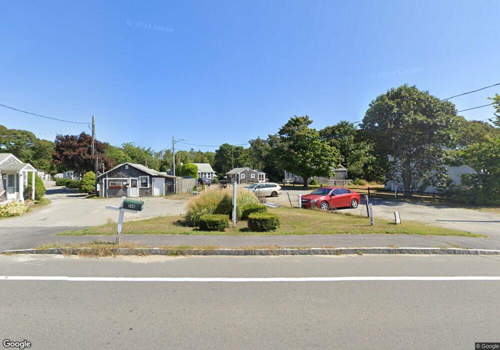
254 Main St Unit 21 Dennis Port, MA 2639
Dennis Port NeighborhoodEstimated Value: $132,000 - $189,000
1
Bed
1
Bath
349
Sq Ft
$481/Sq Ft
Est. Value
About This Home
This home is located at 254 Main St Unit 21, Dennis Port, MA 2639 and is currently estimated at $167,701, approximately $480 per square foot. 254 Main St Unit 21 is a home located in Barnstable County with nearby schools including Dennis-Yarmouth Regional High School and St. Pius X. School.
Ownership History
Date
Name
Owned For
Owner Type
Purchase Details
Closed on
Jul 2, 2004
Sold by
Harback Peter D and Harback Roberta
Bought by
Guerin Julie A and Guerin Paul A
Current Estimated Value
Home Financials for this Owner
Home Financials are based on the most recent Mortgage that was taken out on this home.
Original Mortgage
$70,000
Outstanding Balance
$34,655
Interest Rate
6.3%
Mortgage Type
Purchase Money Mortgage
Estimated Equity
$133,046
Create a Home Valuation Report for This Property
The Home Valuation Report is an in-depth analysis detailing your home's value as well as a comparison with similar homes in the area
Home Values in the Area
Average Home Value in this Area
Purchase History
| Date | Buyer | Sale Price | Title Company |
|---|---|---|---|
| Guerin Julie A | $75,000 | -- | |
| Guerin Julie A | $75,000 | -- |
Source: Public Records
Mortgage History
| Date | Status | Borrower | Loan Amount |
|---|---|---|---|
| Open | Guerin Julie A | $70,000 | |
| Closed | Guerin Julie A | $70,000 |
Source: Public Records
Tax History Compared to Growth
Tax History
| Year | Tax Paid | Tax Assessment Tax Assessment Total Assessment is a certain percentage of the fair market value that is determined by local assessors to be the total taxable value of land and additions on the property. | Land | Improvement |
|---|---|---|---|---|
| 2025 | $590 | $136,200 | $0 | $136,200 |
| 2024 | $537 | $122,300 | $0 | $122,300 |
| 2023 | $468 | $100,300 | $0 | $100,300 |
| 2022 | $534 | $95,400 | $0 | $95,400 |
| 2021 | $571 | $94,700 | $0 | $94,700 |
| 2020 | $561 | $92,000 | $0 | $92,000 |
| 2019 | $540 | $87,600 | $0 | $87,600 |
| 2018 | $529 | $83,500 | $0 | $83,500 |
| 2017 | $514 | $83,500 | $0 | $83,500 |
| 2016 | $391 | $59,900 | $0 | $59,900 |
| 2015 | $383 | $59,900 | $0 | $59,900 |
| 2014 | $380 | $59,900 | $0 | $59,900 |
Source: Public Records
Map
Nearby Homes
- 268 Main St
- 125 Main St Unit 3
- 4 Coffey Ln
- 12 Candlewood Ln Unit 2-9
- 12 Candlewood Ln Unit 1-6
- 10 Candlewood Ln Unit 2-1
- 104 Toms Path
- 78 Upper County Rd Unit A&B
- 78 Upper County Rd
- 104 Toms Path
- 71 Main St
- 24 Indian Trail
- 9 Country Ln
- 18 Holiday Ln
- 12 Cross St
- 20 Aunt Debbys Rd
- 47 Telegraph Rd Unit 1
- 95 Center St
- 22 Ferncliff Rd
- 102 Sea St
- 254 Main St Unit 1819
- 254 Main St Unit 2021
- 254 Main St Unit 8
- 254 Main St Unit 22
- 254 Main St
- 254 Main St Unit 20
- 254 Main St Unit 19
- 254 Main St Unit 16
- 254 Main St Unit 17
- 254 Main St Unit 18
- 254 Main St Unit 23
- 16 Main St
- 19 Main St
- 282 Main St
- 282 Main St
- 260 Main St
- 280 Main St
- 267 Main St
- 261 Main St
- 239 Massachusetts 28