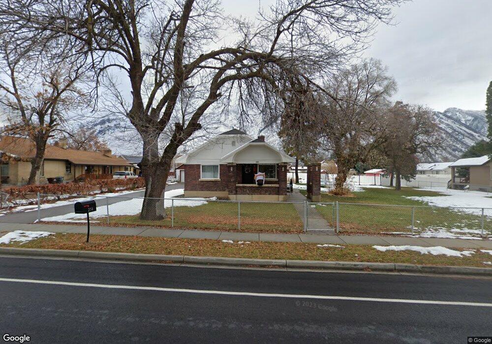
254 N 200 E Alpine, UT 84004
Estimated Value: $465,000 - $792,000
2
Beds
2
Baths
896
Sq Ft
$675/Sq Ft
Est. Value
About This Home
This home is located at 254 N 200 E, Alpine, UT 84004 and is currently estimated at $604,778, approximately $674 per square foot. 254 N 200 E is a home located in Utah County with nearby schools including Alpine School, Timberline Middle School, and Lone Peak High School.
Ownership History
Date
Name
Owned For
Owner Type
Purchase Details
Closed on
Nov 8, 2024
Sold by
Crestview Tooele Llc
Bought by
Jones Will S
Current Estimated Value
Purchase Details
Closed on
May 17, 2024
Sold by
Ben Lin Trust and Lin Ben Trust
Bought by
Crestview Tooele Llc
Purchase Details
Closed on
May 15, 2024
Sold by
Lin Ben Enterprises Llc
Bought by
Ben Lin Trust and Lin Ben Trust
Purchase Details
Closed on
Feb 1, 2022
Sold by
Deadbeats R Us Llc
Bought by
Lin Ben Enterprises Llc
Purchase Details
Closed on
Feb 8, 2019
Sold by
Jones Will S and Jones William S
Bought by
Deadbeats R Us Llc
Purchase Details
Closed on
May 31, 1996
Sold by
Jones Will S
Bought by
Jones Will S
Home Financials for this Owner
Home Financials are based on the most recent Mortgage that was taken out on this home.
Original Mortgage
$78,000
Interest Rate
7.97%
Create a Home Valuation Report for This Property
The Home Valuation Report is an in-depth analysis detailing your home's value as well as a comparison with similar homes in the area
Home Values in the Area
Average Home Value in this Area
Purchase History
| Date | Buyer | Sale Price | Title Company |
|---|---|---|---|
| Jones Will S | -- | Us Title | |
| Crestview Tooele Llc | -- | Masters Title | |
| Ben Lin Trust | -- | Masters Title | |
| Lin Ben Enterprises Llc | -- | None Listed On Document | |
| Deadbeats R Us Llc | -- | Accommodation | |
| Jones Will S | -- | -- |
Source: Public Records
Mortgage History
| Date | Status | Borrower | Loan Amount |
|---|---|---|---|
| Previous Owner | Jones Will S | $78,000 |
Source: Public Records
Tax History
| Year | Tax Paid | Tax Assessment Tax Assessment Total Assessment is a certain percentage of the fair market value that is determined by local assessors to be the total taxable value of land and additions on the property. | Land | Improvement |
|---|---|---|---|---|
| 2025 | $2,138 | $262,845 | -- | -- |
| 2024 | $2,138 | $249,205 | $0 | $0 |
| 2023 | $1,815 | $227,150 | $0 | $0 |
| 2022 | $2,133 | $259,160 | $0 | $0 |
| 2021 | $1,726 | $288,680 | $247,000 | $41,680 |
| 2020 | $1,569 | $289,800 | $214,800 | $75,000 |
| 2019 | $1,452 | $280,000 | $214,800 | $65,200 |
| 2018 | $1,419 | $270,300 | $206,200 | $64,100 |
| 2017 | $1,374 | $139,315 | $0 | $0 |
| 2016 | $1,260 | $119,130 | $0 | $0 |
| 2015 | $1,150 | $102,850 | $0 | $0 |
| 2014 | $1,002 | $88,660 | $0 | $0 |
Source: Public Records
Map
Nearby Homes
- 475 Grove Dr
- 48 N 100 E
- 499 E 300 N
- 151 Glacier Lily Dr
- 30 S Main St
- 248 Deerfield Dr
- 512 Eastridge Cir
- 250 S Main St Unit 25
- 250 S Main St Unit 9
- 250 S Main St Unit 7
- 259 Twin River Loop
- 887 E Village Way
- 202 E Alpine Dr
- 501 W Devey Dr
- 353 International Way
- 381 E Watkins Cir Unit 28
- 19 E Elk Ct
- 382 E Heritage Hills Dr
- 820 Eagleview Dr
- 1103 E Lone Peak Dr
Your Personal Tour Guide
Ask me questions while you tour the home.