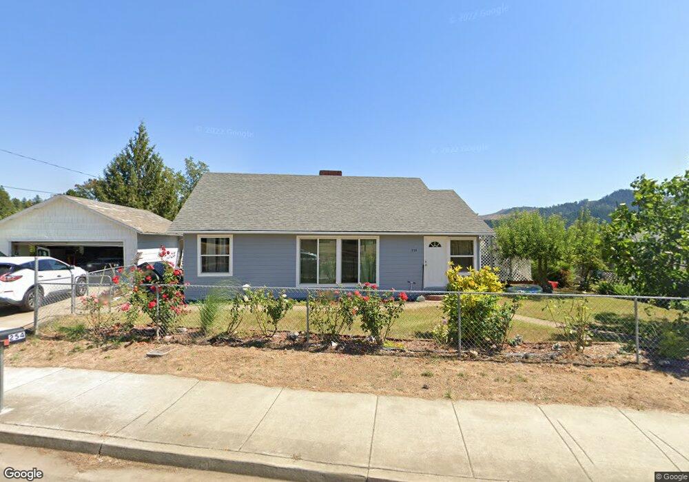
254 N Comstock Ave Sutherlin, OR 97479
Estimated Value: $268,000 - $286,352
3
Beds
1
Bath
1,462
Sq Ft
$188/Sq Ft
Est. Value
About This Home
This home is located at 254 N Comstock Ave, Sutherlin, OR 97479 and is currently estimated at $275,338, approximately $188 per square foot. 254 N Comstock Ave is a home located in Douglas County with nearby schools including East Sutherlin Primary School, West Sutherlin Intermediate School, and Sutherlin Middle School.
Ownership History
Date
Name
Owned For
Owner Type
Purchase Details
Closed on
Jun 3, 2008
Sold by
Cummins Carol
Bought by
Roman Joel and Roman Laura E
Current Estimated Value
Home Financials for this Owner
Home Financials are based on the most recent Mortgage that was taken out on this home.
Original Mortgage
$50,000
Interest Rate
5.99%
Mortgage Type
Seller Take Back
Create a Home Valuation Report for This Property
The Home Valuation Report is an in-depth analysis detailing your home's value as well as a comparison with similar homes in the area
Home Values in the Area
Average Home Value in this Area
Purchase History
| Date | Buyer | Sale Price | Title Company |
|---|---|---|---|
| Roman Joel | $110,000 | Ticor Title |
Source: Public Records
Mortgage History
| Date | Status | Borrower | Loan Amount |
|---|---|---|---|
| Closed | Roman Joel | $50,000 |
Source: Public Records
Tax History Compared to Growth
Tax History
| Year | Tax Paid | Tax Assessment Tax Assessment Total Assessment is a certain percentage of the fair market value that is determined by local assessors to be the total taxable value of land and additions on the property. | Land | Improvement |
|---|---|---|---|---|
| 2024 | $1,606 | $128,802 | -- | -- |
| 2023 | $1,560 | $125,051 | $0 | $0 |
| 2022 | $1,515 | $121,409 | $0 | $0 |
| 2021 | $1,472 | $117,873 | $0 | $0 |
| 2020 | $1,429 | $114,440 | $0 | $0 |
| 2019 | $1,387 | $111,107 | $0 | $0 |
| 2018 | $1,347 | $107,871 | $0 | $0 |
| 2017 | $1,377 | $104,730 | $0 | $0 |
| 2016 | $1,337 | $101,680 | $0 | $0 |
| 2015 | $1,302 | $98,719 | $0 | $0 |
| 2014 | $1,264 | $95,844 | $0 | $0 |
| 2013 | -- | $93,053 | $0 | $0 |
Source: Public Records
Map
Nearby Homes
- 165 Robinson St
- 279 Grant St
- 1223 Duke Ave
- 226 Miller St
- 220 Miller St
- 0 Dakota St Unit B 500248401
- 181 SW Hutchins St
- 1688 W Central Ave
- 1386 Airway Ave
- 420 Backwater Loop
- 819 S Comstock Ave Unit 13
- 1660 Scardi Blvd
- 1716 Scardi Blvd Unit 174
- 530 Tanglewood St
- 851 S Comstock Rd
- 892 Fir Grove Ln
- 908 Fir Grove Ln
- 0 N Fourth St Unit 24557651
- 702 Divot Loop
- 126 Coles Valley St
- 314 N Comstock Ave
- 261 N Robinson
- 261 Robinson St
- 1225 W First Ave
- 1253 W First Ave
- 236 N Comstock Ave
- 249 Robinson St
- 307 Robinson St
- 225 Robinson St
- 211 Robinson St
- 338 N Comstock Ave
- 237 N Comstock Ave
- 352 N Comstock Ave
- 1260 W First Ave
- 142 Addison Ave
- 248 Robinson St
- 328 Robinson St
- 1272 W First Ave
- 0 Robinson St Unit 2700 21081640
- 0 Robinson St