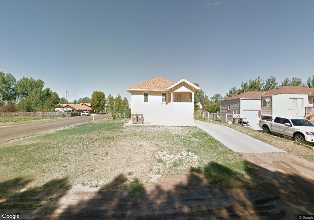
254 N Johnson St Laramie, WY 82070
Estimated Value: $336,000 - $362,254
3
Beds
2
Baths
1,105
Sq Ft
$318/Sq Ft
Est. Value
About This Home
This home is located at 254 N Johnson St, Laramie, WY 82070 and is currently estimated at $351,814, approximately $318 per square foot. 254 N Johnson St is a home located in Albany County with nearby schools including Velma Linford Elementary School, Laramie Middle School, and Laramie High School.
Ownership History
Date
Name
Owned For
Owner Type
Purchase Details
Closed on
Apr 21, 2011
Sold by
Crumpton Jason K and Crumpton Jamie M
Bought by
Munn Patricia and Munn George
Current Estimated Value
Purchase Details
Closed on
Jul 12, 2006
Sold by
Denessen Susan A
Bought by
Crumpton Jason K
Home Financials for this Owner
Home Financials are based on the most recent Mortgage that was taken out on this home.
Original Mortgage
$179,500
Interest Rate
6.67%
Mortgage Type
New Conventional
Create a Home Valuation Report for This Property
The Home Valuation Report is an in-depth analysis detailing your home's value as well as a comparison with similar homes in the area
Home Values in the Area
Average Home Value in this Area
Purchase History
| Date | Buyer | Sale Price | Title Company |
|---|---|---|---|
| Munn Patricia | -- | -- | |
| Crumpton Jason K | -- | -- |
Source: Public Records
Mortgage History
| Date | Status | Borrower | Loan Amount |
|---|---|---|---|
| Previous Owner | Crumpton Jason K | $179,500 | |
| Previous Owner | Crumpton Jason K | $2,200 |
Source: Public Records
Tax History Compared to Growth
Tax History
| Year | Tax Paid | Tax Assessment Tax Assessment Total Assessment is a certain percentage of the fair market value that is determined by local assessors to be the total taxable value of land and additions on the property. | Land | Improvement |
|---|---|---|---|---|
| 2025 | $2,118 | $22,631 | $3,867 | $18,764 |
| 2024 | $2,118 | $29,013 | $4,957 | $24,056 |
| 2023 | $2,085 | $28,561 | $4,957 | $23,604 |
| 2022 | $1,801 | $24,676 | $4,957 | $19,719 |
| 2021 | $1,624 | $22,249 | $4,957 | $17,292 |
| 2020 | $1,555 | $21,300 | $4,526 | $16,774 |
| 2019 | $1,426 | $19,533 | $4,526 | $15,007 |
| 2018 | $1,319 | $18,065 | $3,895 | $14,170 |
| 2017 | $1,326 | $18,161 | $3,895 | $14,266 |
| 2016 | $1,298 | $17,777 | $3,967 | $13,810 |
| 2015 | $1,297 | $17,768 | $5,554 | $12,214 |
| 2014 | $1,273 | $17,433 | $0 | $0 |
Source: Public Records
Map
Nearby Homes
- 174 N Colorado Ave
- 2166 W Wyoming Ave Unit 29
- 2166 W Wyoming Ave Unit 25
- 2075 Jefferson St
- 370 S Buchanan St
- 262 N Taylor St Unit 5
- 416 Arthur St
- 427 S Pierce St
- 153 N Adams St
- 541 S Johnson St
- 1666 Westview Dr
- 1012 A-B S Colorado Ave
- 1572 Westview Ct
- 627 S Colorado Ave
- 529 S Pierce St
- 1560 Westview Ct
- 1561 Westview Ct
- 1567 Westview Ct
- 1990 Truman St
- 1866 Truman St
- 258 N Johnson St
- 255 N Grant St
- 259 N Johnson St
- 177 N Grant St
- 280 N Johnson St
- 265 N Grant St
- 2171 Polk St
- 265 N Johnson St
- 2165 Polk St
- 271 N Johnson St
- 193 N Johnson St
- 175 N Grant St
- 275 N Grant St
- 288 N Johnson St
- 277 N Johnson St
- 185 N Johnson St
- 283 N Johnson St Unit A
- 2166 Polk St
- 177 N Johnson St
- 2158 Polk St