254 N Rock Island Dr Eatonton, GA 31024
Estimated Value: $1,042,159 - $1,699,000
--
Bed
3
Baths
1,641
Sq Ft
$819/Sq Ft
Est. Value
About This Home
This home is located at 254 N Rock Island Dr, Eatonton, GA 31024 and is currently estimated at $1,344,290, approximately $819 per square foot. 254 N Rock Island Dr is a home located in Putnam County with nearby schools including Putnam County Primary School, Putnam County Elementary School, and Putnam County Middle School.
Ownership History
Date
Name
Owned For
Owner Type
Purchase Details
Closed on
Jan 13, 2012
Sold by
Mathis Ricky L
Bought by
Mathis Vickie F
Current Estimated Value
Purchase Details
Closed on
Dec 30, 1999
Sold by
Whitehurst Samuel D
Bought by
Mathis Ricky L and Mathis Vic
Purchase Details
Closed on
Feb 17, 1995
Sold by
Durham Graham and Durham Kath
Bought by
Whitehurst Samuel D
Purchase Details
Closed on
Sep 7, 1984
Bought by
Durham Graham and Durham Kath
Create a Home Valuation Report for This Property
The Home Valuation Report is an in-depth analysis detailing your home's value as well as a comparison with similar homes in the area
Home Values in the Area
Average Home Value in this Area
Purchase History
| Date | Buyer | Sale Price | Title Company |
|---|---|---|---|
| Mathis Vickie F | -- | -- | |
| Mathis Ricky L | $405,000 | -- | |
| Whitehurst Samuel D | $50,000 | -- | |
| Durham Graham | $19,000 | -- |
Source: Public Records
Tax History Compared to Growth
Tax History
| Year | Tax Paid | Tax Assessment Tax Assessment Total Assessment is a certain percentage of the fair market value that is determined by local assessors to be the total taxable value of land and additions on the property. | Land | Improvement |
|---|---|---|---|---|
| 2024 | $6,502 | $377,449 | $160,000 | $217,449 |
| 2023 | $6,502 | $444,483 | $160,000 | $284,483 |
| 2022 | $6,099 | $303,744 | $130,000 | $173,744 |
| 2021 | $5,815 | $255,222 | $120,000 | $135,222 |
| 2020 | $6,403 | $264,277 | $130,000 | $134,277 |
| 2019 | $6,133 | $249,354 | $130,000 | $119,354 |
| 2018 | $6,317 | $252,893 | $130,000 | $122,893 |
| 2017 | $5,489 | $243,470 | $130,000 | $113,470 |
| 2016 | $5,496 | $243,470 | $130,000 | $113,470 |
| 2015 | $5,296 | $243,470 | $130,000 | $113,471 |
| 2014 | $5,304 | $243,471 | $130,000 | $113,471 |
Source: Public Records
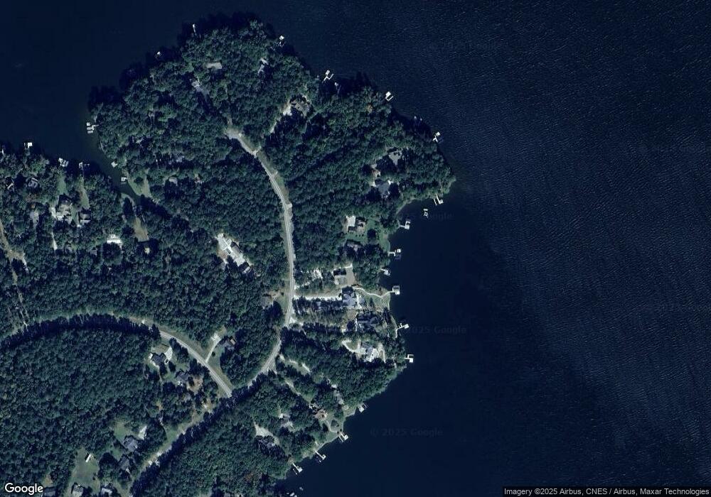
Map
Nearby Homes
- 262 N Rock Island Dr
- 186 Harbor Dr
- 144 Rock Springs Rd
- 264 Winding River Rd
- Lot 8 S Rock Island Dr
- 145 S Rock Island Dr
- 153 S Rock Island Dr
- 0 Long Shoals Dr Unit 10601520
- 0 Long Shoals Dr Unit 69378
- 403 Long Shoals Dr
- 165 S Rock Island Dr
- 290 Long Shoals Rd
- 146 Long Island Dr
- 351 River Lake Dr
- 121 Long Island Dr
- 308 River Lake Dr
- 536 River Lake Dr
- 258 N Rock Island Dr
- 250 N Rock Island Dr
- 246 N Rock Island Dr
- 244 N Rock Island Dr
- 266 N Rock Island Dr
- 242 N Rock Island Dr
- 243 N Rock Island Dr
- 265 N Rock Island Dr
- 278 N Rock Island Dr
- 282 N Rock Island Dr
- 238 N Rock Island Dr
- 100 Winding River Rd
- 236 N Rock Island Dr Unit 78
- 236 N Rock Island Dr Unit 1
- 236 N Rock Island Dr
- S N Rock Island Dr Unit LOT 4
- N N Rock Island Dr Unit Lot 81
- N N Rock Island Dr Unit 93
- N N Rock Island Dr Unit Lot 80C
- Lot 80C N Rock Island Dr