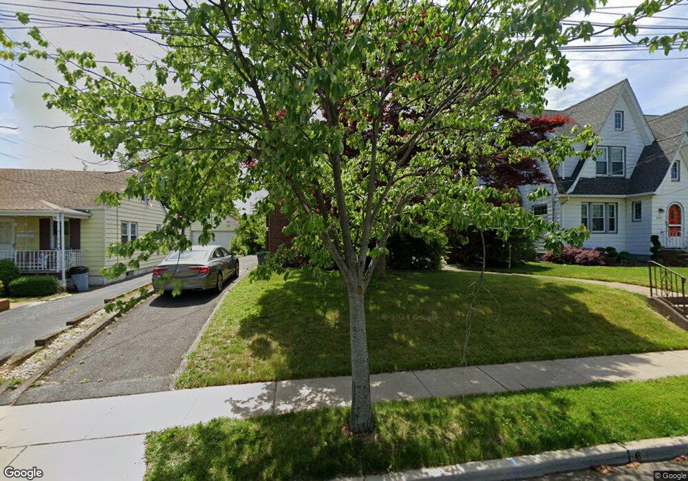
254 Stanley Ave Hasbrouck Heights, NJ 07604
Estimated Value: $649,000 - $677,000
--
Bed
--
Bath
2,098
Sq Ft
$317/Sq Ft
Est. Value
About This Home
This home is located at 254 Stanley Ave, Hasbrouck Heights, NJ 07604 and is currently estimated at $665,674, approximately $317 per square foot. 254 Stanley Ave is a home located in Bergen County with nearby schools including Hasbrouck Heights High School and Corpus Christi School.
Ownership History
Date
Name
Owned For
Owner Type
Purchase Details
Closed on
May 20, 2024
Sold by
Keshishian Barbara Ann and Bernardon Donna J
Bought by
Scarpulla Ciro and Scarpulla Jennifer
Current Estimated Value
Home Financials for this Owner
Home Financials are based on the most recent Mortgage that was taken out on this home.
Original Mortgage
$15,000
Interest Rate
4.4%
Purchase Details
Closed on
Dec 20, 2013
Sold by
Keshishian Barabara A and Bernardon Donna J
Bought by
Keshihian Barbara A
Create a Home Valuation Report for This Property
The Home Valuation Report is an in-depth analysis detailing your home's value as well as a comparison with similar homes in the area
Home Values in the Area
Average Home Value in this Area
Purchase History
| Date | Buyer | Sale Price | Title Company |
|---|---|---|---|
| Scarpulla Ciro | $288,440 | None Listed On Document | |
| Scarpulla Ciro | $288,440 | None Listed On Document | |
| Keshihian Barbara A | -- | -- |
Source: Public Records
Mortgage History
| Date | Status | Borrower | Loan Amount |
|---|---|---|---|
| Closed | Scarpulla Ciro | $15,000 | |
| Open | Scarpulla Ciro | $283,215 | |
| Closed | Scarpulla Ciro | $283,215 |
Source: Public Records
Tax History Compared to Growth
Tax History
| Year | Tax Paid | Tax Assessment Tax Assessment Total Assessment is a certain percentage of the fair market value that is determined by local assessors to be the total taxable value of land and additions on the property. | Land | Improvement |
|---|---|---|---|---|
| 2025 | $12,522 | $526,900 | $208,700 | $318,200 |
| 2024 | $12,089 | $490,100 | $208,700 | $281,400 |
| 2023 | $11,333 | $469,100 | $198,700 | $270,400 |
| 2022 | $11,333 | $421,000 | $188,700 | $232,300 |
| 2021 | $11,090 | $392,700 | $178,700 | $214,000 |
| 2020 | $10,929 | $380,000 | $172,200 | $207,800 |
| 2019 | $10,635 | $373,800 | $170,200 | $203,600 |
| 2018 | $10,481 | $367,500 | $168,200 | $199,300 |
| 2017 | $10,419 | $364,800 | $166,200 | $198,600 |
| 2016 | $10,462 | $344,700 | $156,200 | $188,500 |
| 2015 | $10,293 | $344,700 | $156,200 | $188,500 |
| 2014 | $10,010 | $344,700 | $156,200 | $188,500 |
Source: Public Records
Map
Nearby Homes
- 460 Boulevard
- 485 Hasbrouck Ave
- 140 Prospect St
- 513 Boulevard
- 233 Lasalle Ave
- 229 Baldwin Ave
- 252 Paterson Ave
- 8800 Boulevard Unit 5F
- 8800 Boulevard Unit 7K
- 8800 Boulevard Unit 4B
- 12 Macarthur Ave
- 48 Hasbrouck Ave
- 14 James Ct
- 268 Church St
- 80 Macarthur Ave
- 238 Bell Ave
- 212 Paterson Ave
- 18 Hasbrouck Ave
- 444 Washington Place
- 100 Charlton Ave
- 258 Stanley Ave
- 250 Stanley Ave
- 262 Stanley Ave
- 246 Stanley Ave
- 255 Williams Ave
- 251 Williams Ave
- 259 Williams Ave
- 247 Williams Ave
- 450 Collins Ave
- 265 Williams Ave
- 454 Collins Ave
- 447 Burton Ave
- 447 Burton Ave Unit 2ND FL.
- 455 Burton Ave
- 251 Stanley Ave
- 259 Stanley Ave
- 446 Collins Ave
- 245 Stanley Ave
- 267 Williams Ave
- 243 Williams Ave