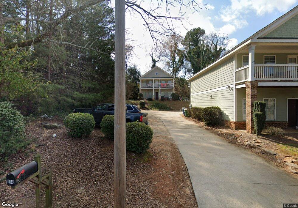
254 Strickland Ave Athens, GA 30601
North Avenue NeighborhoodEstimated Value: $481,904 - $509,000
5
Beds
5
Baths
2,184
Sq Ft
$228/Sq Ft
Est. Value
About This Home
This home is located at 254 Strickland Ave, Athens, GA 30601 and is currently estimated at $498,476, approximately $228 per square foot. 254 Strickland Ave is a home located in Clarke County with nearby schools including Howard B. Stroud Elementary School, Coile Middle School, and Cedar Shoals High School.
Ownership History
Date
Name
Owned For
Owner Type
Purchase Details
Closed on
Nov 22, 2013
Sold by
Georgia Dawghouse Holdings
Bought by
Uga Tx Prop Iv Llc
Current Estimated Value
Purchase Details
Closed on
Mar 29, 2011
Sold by
Devil Dog Properties Llc
Bought by
Georgia Dawghouse Holdings Llc
Purchase Details
Closed on
Dec 5, 2008
Sold by
Not Provided
Bought by
Georgia Dawghouse Holding Llc
Purchase Details
Closed on
Oct 30, 2008
Sold by
Jordan Osbie
Bought by
Richardson Mahalia Jordan
Create a Home Valuation Report for This Property
The Home Valuation Report is an in-depth analysis detailing your home's value as well as a comparison with similar homes in the area
Home Values in the Area
Average Home Value in this Area
Purchase History
| Date | Buyer | Sale Price | Title Company |
|---|---|---|---|
| Uga Tx Prop Iv Llc | $1,020,000 | -- | |
| Georgia Dawghouse Holdings Llc | $231,000 | -- | |
| Georgia Dawghouse Holding Llc | $129,000 | -- | |
| Richardson Mahalia Jordan | -- | -- |
Source: Public Records
Tax History Compared to Growth
Tax History
| Year | Tax Paid | Tax Assessment Tax Assessment Total Assessment is a certain percentage of the fair market value that is determined by local assessors to be the total taxable value of land and additions on the property. | Land | Improvement |
|---|---|---|---|---|
| 2024 | $5,736 | $182,232 | $24,000 | $158,232 |
| 2023 | $5,695 | $160,412 | $24,000 | $136,412 |
| 2022 | $4,700 | $147,336 | $18,000 | $129,336 |
| 2021 | $4,078 | $121,020 | $18,000 | $103,020 |
| 2020 | $3,460 | $102,656 | $18,000 | $84,656 |
| 2019 | $3,330 | $98,072 | $17,000 | $81,072 |
| 2018 | $3,071 | $90,458 | $17,000 | $73,458 |
| 2017 | $3,041 | $89,562 | $17,000 | $72,562 |
| 2016 | $2,934 | $86,426 | $17,000 | $69,426 |
| 2015 | $2,938 | $86,426 | $17,000 | $69,426 |
| 2014 | $2,928 | $86,426 | $17,000 | $69,426 |
Source: Public Records
Map
Nearby Homes
- 249 Fifth St
- 472 First St
- 560 Rosa Nell Howard St
- 239 Madison Heights
- 211 North Ave Unit 1333
- 320 First St
- 198 Flint St
- 318 First St
- 185 First St
- 178 First St
- 239 Ruth St Unit 15
- 205 Northcrest Dr
- 170 Northcrest Dr
- 248 Fern Ridge Ct
- 668 Pulaski St
- 600 Pulaski St
- 1295 E Broad St Unit C-1
- 1295 E Broad St Unit C1
- 226 Vine St
- 132 N Poplar St
- 252 Strickland Ave
- 250 Strickland Ave
- 240 Strickland Ave
- 240 Strickland Ave
- 133 Berlin St
- 230 Strickland Ave
- 270 Strickland Ave Unit 10A
- 270 Strickland Ave Unit A-6
- 270 Strickland Ave Unit A-4
- 270 Strickland Ave Unit 7B
- 270 Strickland Ave Unit 8A
- 270 Strickland Ave Unit 3A
- 270 Strickland Ave Unit A-8
- 270 Strickland Ave Unit 1B
- 270 Strickland Ave Unit B-9
- 270 Strickland Ave Unit B-5
- 270 Strickland Ave Unit 9A
- 270 Strickland Ave Unit 9B
- 270 Strickland Ave Unit 5A
- 270 Strickland Ave Unit 4A