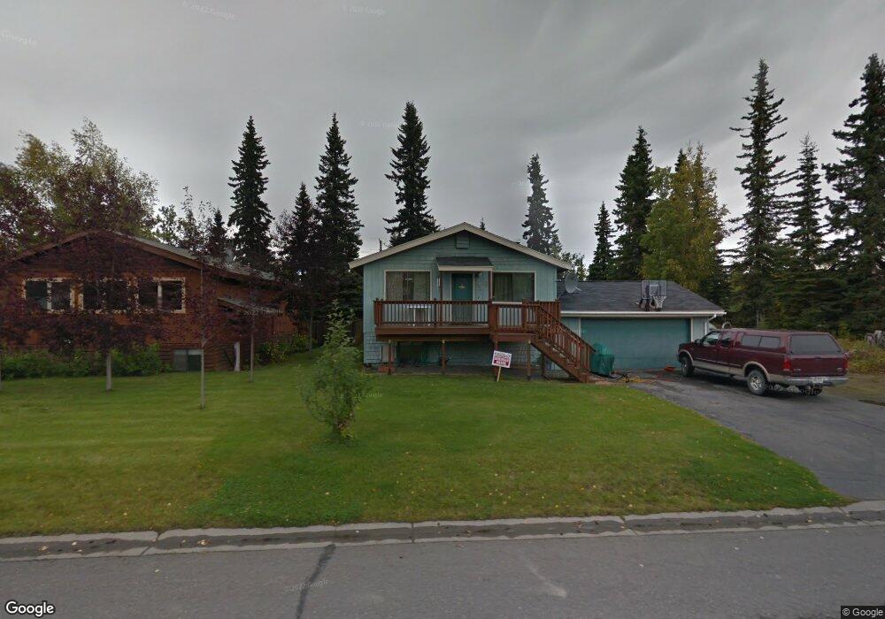
254 W Corral Ave Soldotna, AK 99669
Estimated Value: $154,000 - $405,000
3
Beds
2
Baths
1,976
Sq Ft
$146/Sq Ft
Est. Value
About This Home
This home is located at 254 W Corral Ave, Soldotna, AK 99669 and is currently estimated at $288,975, approximately $146 per square foot. 254 W Corral Ave is a home located in Kenai Peninsula Borough with nearby schools including Redoubt Elementary School, Skyview Middle School, and Soldotna High School.
Ownership History
Date
Name
Owned For
Owner Type
Purchase Details
Closed on
Aug 20, 2021
Sold by
Duncan James D and Duncan Renee V
Bought by
Jackson Byron T and Jackson Tometria K
Current Estimated Value
Home Financials for this Owner
Home Financials are based on the most recent Mortgage that was taken out on this home.
Original Mortgage
$235,600
Outstanding Balance
$214,233
Interest Rate
2.9%
Mortgage Type
New Conventional
Estimated Equity
$74,742
Create a Home Valuation Report for This Property
The Home Valuation Report is an in-depth analysis detailing your home's value as well as a comparison with similar homes in the area
Home Values in the Area
Average Home Value in this Area
Purchase History
| Date | Buyer | Sale Price | Title Company |
|---|---|---|---|
| Jackson Byron T | -- | None Available |
Source: Public Records
Mortgage History
| Date | Status | Borrower | Loan Amount |
|---|---|---|---|
| Open | Jackson Byron T | $235,600 |
Source: Public Records
Tax History Compared to Growth
Tax History
| Year | Tax Paid | Tax Assessment Tax Assessment Total Assessment is a certain percentage of the fair market value that is determined by local assessors to be the total taxable value of land and additions on the property. | Land | Improvement |
|---|---|---|---|---|
| 2025 | $1,628 | $273,200 | $38,700 | $234,500 |
| 2024 | $814 | $249,900 | $37,700 | $212,200 |
| 2023 | $1,448 | $227,400 | $34,300 | $193,100 |
| 2022 | $1,482 | $235,400 | $32,600 | $202,800 |
| 2021 | $1,776 | $220,300 | $24,900 | $195,400 |
| 2020 | $1,662 | $206,200 | $24,900 | $181,300 |
| 2019 | $852 | $211,300 | $22,600 | $188,700 |
| 2018 | $1,722 | $213,700 | $22,600 | $191,100 |
| 2017 | $1,547 | $203,300 | $22,600 | $180,700 |
| 2016 | $1,143 | $194,600 | $22,600 | $172,000 |
| 2015 | $1,295 | $186,800 | $22,600 | $164,200 |
| 2014 | $1,295 | $184,300 | $22,600 | $161,700 |
Source: Public Records
Map
Nearby Homes
- 265 Charity Cir
- 169 N Brentwood St
- 256 Upper Rosian Dr
- 386 W Corral Ave
- 253 Upper Rosian Dr
- 150 S Leibrock St
- 327 Knight Dr
- L42 N Aspen Dr
- 235 N Aspen Dr
- 228 Stacy Dr
- 35839 Irons Ave
- 35868 Everwell Place
- 35856 Everwell Place
- 35840 Everwell Place
- 000 Ridgewood Dr
- 287 Stacy Dr
- 35841 Irons Ave
- 385 W Riverview Ave
- 35870 Glory St
- L1 Kenai Spur Hwy
- 260 W Corral Ave
- 248 W Corral Ave
- 353 W Corral St
- 380 W Corral St
- 304 W Corral St
- 253 W Katmai Ave
- 259 W Katmai Ave
- 266 W Corral Ave
- 247 W Katmai Ave
- L16 B1 Kobuk
- 242 W Corral Ave
- 259 W Corral Ave
- 265 W Katmai Ave
- 241 W Katmai Ave
- 265 W Corral Ave
- 272 W Corral Ave
- 265 W Corral St
- 247 W Corral Ave
- 236 W Corral Ave
- 273 W Katmai Ave