254 Watson Rd Bradford, AR 72020
Estimated Value: $365,000 - $540,020
--
Bed
1
Bath
5,384
Sq Ft
$82/Sq Ft
Est. Value
About This Home
This home is located at 254 Watson Rd, Bradford, AR 72020 and is currently estimated at $441,340, approximately $81 per square foot. 254 Watson Rd is a home with nearby schools including H.L. Lubker Elementary School, Bald Knob Middle School, and Bald Knob High School.
Ownership History
Date
Name
Owned For
Owner Type
Purchase Details
Closed on
Jan 4, 2012
Sold by
Haynes Cody S and Haynes Jeslyn M
Bought by
Gilmore Terry and Gilmore Macey
Current Estimated Value
Home Financials for this Owner
Home Financials are based on the most recent Mortgage that was taken out on this home.
Original Mortgage
$102,400
Interest Rate
4.02%
Mortgage Type
Future Advance Clause Open End Mortgage
Purchase Details
Closed on
Aug 1, 1988
Bought by
Feagin Gerald
Create a Home Valuation Report for This Property
The Home Valuation Report is an in-depth analysis detailing your home's value as well as a comparison with similar homes in the area
Home Values in the Area
Average Home Value in this Area
Purchase History
| Date | Buyer | Sale Price | Title Company |
|---|---|---|---|
| Gilmore Terry | $128,000 | None Available | |
| Feagin Gerald | $15,000 | -- |
Source: Public Records
Mortgage History
| Date | Status | Borrower | Loan Amount |
|---|---|---|---|
| Closed | Gilmore Terry | $102,400 |
Source: Public Records
Tax History Compared to Growth
Tax History
| Year | Tax Paid | Tax Assessment Tax Assessment Total Assessment is a certain percentage of the fair market value that is determined by local assessors to be the total taxable value of land and additions on the property. | Land | Improvement |
|---|---|---|---|---|
| 2025 | $2,547 | $75,156 | $3,196 | $71,960 |
| 2024 | $1,928 | $61,590 | $2,420 | $59,170 |
| 2023 | $1,430 | $61,590 | $2,420 | $59,170 |
| 2022 | $1,403 | $61,590 | $2,420 | $59,170 |
| 2021 | $1,740 | $69,040 | $2,420 | $66,620 |
| 2020 | $1,654 | $47,550 | $2,460 | $45,090 |
| 2019 | $1,654 | $47,550 | $2,460 | $45,090 |
| 2018 | $1,962 | $45,980 | $2,460 | $43,520 |
| 2017 | $556 | $13,840 | $2,460 | $11,380 |
| 2016 | $556 | $13,060 | $2,460 | $10,600 |
| 2015 | $506 | $11,870 | $2,390 | $9,480 |
| 2014 | $181 | $4,250 | $2,390 | $1,860 |
Source: Public Records
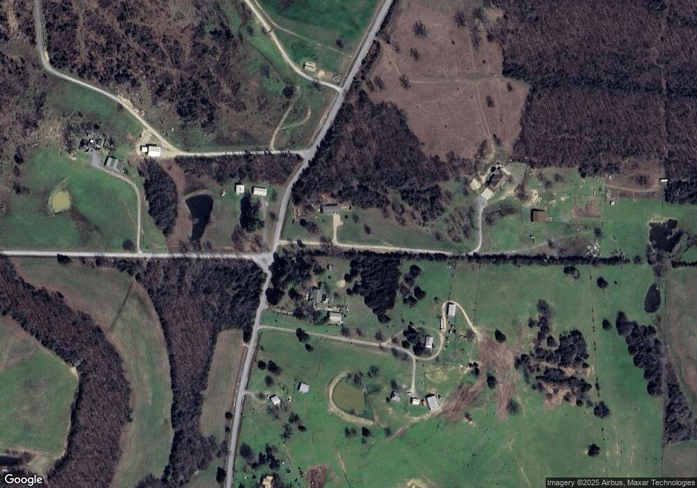
Map
Nearby Homes
- 1718 Highway 167 N
- 1962 U S 167
- 002 Wallis Rd
- 1528 U S 167
- 00 Peacock Rd
- 140 Alford Rd
- 0 Stanley Rd Unit 25024009
- 000 Cr 197
- 1289 Jackson 302
- 1790 Jackson 302
- 560 Dripping Springs Rd
- 131 Siler Rd
- 606 Velvet Ridge Rd
- 124 Sweet Pine Ln
- 1179 Jackson 6
- 000 Scoggins Rd
- 188 Summers Loop
- 000 Weathers Rd
- 835 Velvet Ridge Rd
- 7890 Batesville Blvd
- 285 Watson Rd
- 267 Watson Rd
- 285 Watson Rd
- 1643 Highway 367 N
- 102 E Jones Rd
- 253 Watson Rd
- 120 E Jones Rd
- 287 Watson Rd
- 1627 Highway 167 N
- 1639 Highway 167 N
- 1639 Hwy 167 N
- 1611 Highway 167 N
- 152 Watson Rd
- 1693 Highway 167 N
- 1664 Highway 167 N
- 1703 Highway 167 N
- 1703 N 167 Hwy
- N 167 Hwy
- 1680 Highway 167 N
- 1707 Highway 167 N