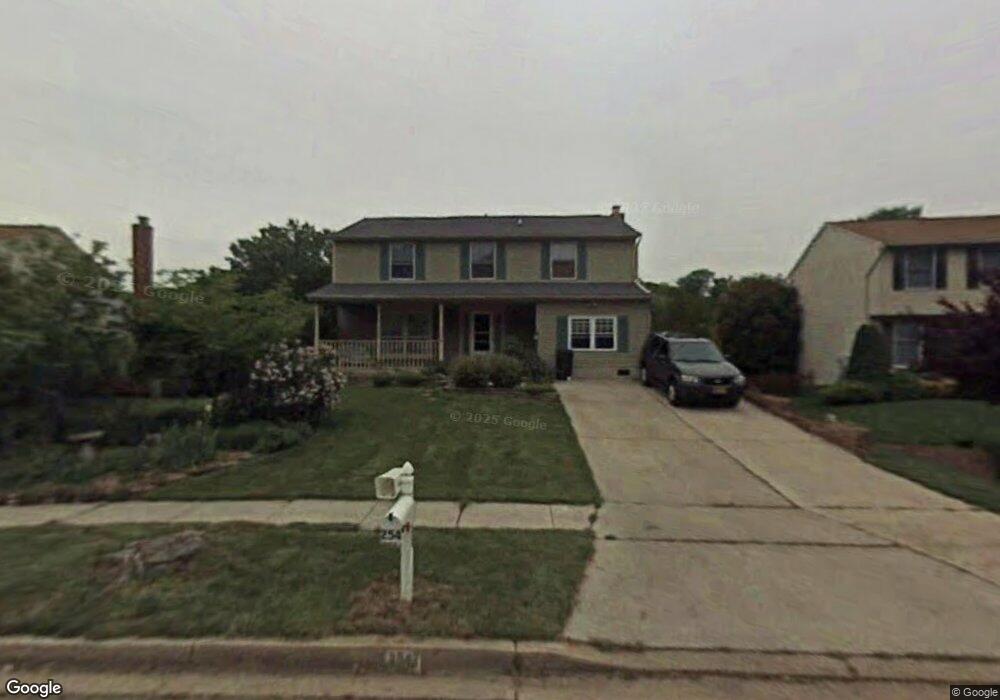
254 Way Cross Way Arnold, MD 21012
Estimated Value: $561,510 - $700,000
--
Bed
3
Baths
2,004
Sq Ft
$313/Sq Ft
Est. Value
About This Home
This home is located at 254 Way Cross Way, Arnold, MD 21012 and is currently estimated at $626,628, approximately $312 per square foot. 254 Way Cross Way is a home located in Anne Arundel County with nearby schools including Arnold Elementary School, Severn River Middle School, and Broadneck High School.
Ownership History
Date
Name
Owned For
Owner Type
Purchase Details
Closed on
Dec 17, 2024
Sold by
Kennedy Gerald R and Kennedy Lisa R
Bought by
Kennedy Family Trust and Kennedy
Current Estimated Value
Purchase Details
Closed on
Mar 6, 1992
Sold by
Randall James W
Bought by
Kennedy Gerald R and Kennedy Lisa R
Home Financials for this Owner
Home Financials are based on the most recent Mortgage that was taken out on this home.
Original Mortgage
$125,000
Interest Rate
8.85%
Create a Home Valuation Report for This Property
The Home Valuation Report is an in-depth analysis detailing your home's value as well as a comparison with similar homes in the area
Home Values in the Area
Average Home Value in this Area
Purchase History
| Date | Buyer | Sale Price | Title Company |
|---|---|---|---|
| Kennedy Family Trust | -- | None Listed On Document | |
| Kennedy Family Trust | -- | None Listed On Document | |
| Kennedy Gerald R | $170,000 | -- |
Source: Public Records
Mortgage History
| Date | Status | Borrower | Loan Amount |
|---|---|---|---|
| Previous Owner | Kennedy Gerald R | $125,000 |
Source: Public Records
Tax History Compared to Growth
Tax History
| Year | Tax Paid | Tax Assessment Tax Assessment Total Assessment is a certain percentage of the fair market value that is determined by local assessors to be the total taxable value of land and additions on the property. | Land | Improvement |
|---|---|---|---|---|
| 2025 | $3,855 | $506,700 | -- | -- |
| 2024 | $3,855 | $465,800 | $255,100 | $210,700 |
| 2023 | $3,753 | $457,667 | $0 | $0 |
| 2022 | $3,516 | $449,533 | $0 | $0 |
| 2021 | $6,913 | $441,400 | $240,100 | $201,300 |
| 2020 | $3,348 | $424,767 | $0 | $0 |
| 2019 | $6,566 | $408,133 | $0 | $0 |
| 2018 | $3,970 | $391,500 | $177,600 | $213,900 |
| 2017 | $3,074 | $372,867 | $0 | $0 |
| 2016 | -- | $354,233 | $0 | $0 |
| 2015 | -- | $335,600 | $0 | $0 |
| 2014 | -- | $335,600 | $0 | $0 |
Source: Public Records
Map
Nearby Homes
- 1078 Brightleaf Ct
- 1215 Driftwood Ct
- 303 Ternwing Dr
- 249 Overleaf Dr
- 0 Moore Rd
- 1232 Taylor Ave
- Severn Plan at Ford's Grant
- Newport Plan at Ford's Grant
- Magothy Plan at Ford's Grant
- 00 Mazie
- 33 Sheridan Rd
- 0000 Mazie
- 317 Long Meadow Way
- 832 Clifton Ave
- 516 Norton Ln
- 1277 Ritchie Hwy Unit 195
- 1256 Crowell Ct
- 1199 Asquithpines Place
- 131 Admirals Ridge Dr
- 100 Asquithoaks Ln
- 256 Way Cross Way
- 252 Way Cross Way
- 425 Wickliff Place
- 423 Wickliff Place
- 427 Wickliff Place
- 250 Way Cross Way
- 258 Way Cross Way
- 255 Way Cross Way
- 255 Waycross Way
- 429 Wickliff Place
- 421 Wickliff Place
- 263 Way Cross Way
- 253 Way Cross Way
- 420 Wickliff Place
- 260 Way Cross Way
- 248 Way Cross Way
- 431 Wickliff Place
- 426 Wickliff Place
- 251 Way Cross Way
- 428 Wickliff Place