2540 Butternut Ln Scranton, SC 29591
Estimated Value: $117,000 - $201,000
3
Beds
1
Bath
1,332
Sq Ft
$126/Sq Ft
Est. Value
About This Home
This home is located at 2540 Butternut Ln, Scranton, SC 29591 and is currently estimated at $167,368, approximately $125 per square foot. 2540 Butternut Ln is a home located in Florence County with nearby schools including Ronald E. McNair Junior High School and Lake City High School.
Ownership History
Date
Name
Owned For
Owner Type
Purchase Details
Closed on
May 30, 2019
Sold by
Mcknight Jimmy and Estate Of Gladys E Flinn
Bought by
Orick Kate and Mcknight Legrand
Current Estimated Value
Purchase Details
Closed on
Nov 14, 2018
Sold by
Mcleod Harold and Estate Of Angus R Mcleod
Bought by
Kelly Patricia K
Purchase Details
Closed on
Apr 26, 2018
Sold by
Estate Of Genie O Evans and Alexander Phillip B
Bought by
Alexander Phillip B
Purchase Details
Closed on
Dec 23, 2014
Sold by
Estate Of Charles L Evans Jr and Evans Genie O
Bought by
Evans Genie O
Purchase Details
Closed on
Aug 19, 2014
Sold by
Estate Of Eulalee E Mcleod and Mcleod Angus
Bought by
Mcleod Angus R and Mcleod Harold S
Create a Home Valuation Report for This Property
The Home Valuation Report is an in-depth analysis detailing your home's value as well as a comparison with similar homes in the area
Home Values in the Area
Average Home Value in this Area
Purchase History
| Date | Buyer | Sale Price | Title Company |
|---|---|---|---|
| Orick Kate | -- | None Available | |
| Kelly Patricia K | -- | None Available | |
| Ashley Kenneth M | -- | None Available | |
| Alexander Phillip B | -- | None Available | |
| Evans Genie O | -- | -- | |
| Mcleod Angus R | -- | -- |
Source: Public Records
Tax History Compared to Growth
Tax History
| Year | Tax Paid | Tax Assessment Tax Assessment Total Assessment is a certain percentage of the fair market value that is determined by local assessors to be the total taxable value of land and additions on the property. | Land | Improvement |
|---|---|---|---|---|
| 2024 | $1,395 | $5,358 | $2,990 | $2,368 |
| 2023 | $1,367 | $3,654,930 | $1,682,408 | $1,972,522 |
| 2022 | $1,320 | $3,655 | $1,682 | $1,973 |
| 2021 | $204 | $1,360 | $0 | $0 |
| 2020 | $326 | $1,360 | $0 | $0 |
| 2019 | $327 | $2,521 | $1,682 | $839 |
| 2018 | $294 | $1,360 | $0 | $0 |
| 2017 | $299 | $1,360 | $0 | $0 |
| 2016 | $204 | $1,360 | $0 | $0 |
| 2015 | $203 | $1,360 | $0 | $0 |
| 2014 | -- | $2,522 | $1,682 | $839 |
Source: Public Records
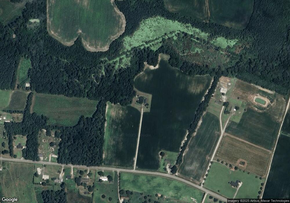
Map
Nearby Homes
- 2995 Fish Hawk Ln
- Tract 4 State Road S-21-881
- Red Barn Tract State Road S-21-881
- Tract 3 State Road S-21-881
- Tract 6 State Road S-21-881
- 283 E Main St
- 75 acres N Old Georgetown Rd
- 306 Byrd St
- 1677 Cockfield Rd Unit LOT 8
- 1677 Cockfield Rd Unit LOT 10
- 1677 Cockfield Rd Unit LOT 11
- 1677 Cockfield Rd Unit LOT 9
- 1914 N Old Georgetown Rd
- TBD U S Route 52
- 1432 S Friendfield Rd
- 109 Acres - TBD Trifalia Rd
- 109ac Trifalia Rd
- 1309 N Matthews Rd
- 220 Brantley St
- 15 Dansing St
- 721 Borkowitz Rd
- 670 Borkowitz Rd
- 2515 Diamond Ln
- 656 Borkowitz Rd
- 652 Borkowitz Rd
- 638 Borkowitz Rd
- 747 Borkowitz Rd
- 607 Borkowitz Rd
- 2512 Garris Rd
- 603 Borkowitz Rd
- 622 Hawk Ln
- 780 Anderson Bridge Rd
- 810 Borkowitz Rd
- 694 Anderson Bridge Rd
- 752 Borkowitz Rd
- 772 Anderson Bridge Rd
- 817 Borkowitz Rd
- 2548 Garris Rd
- 688 Anderson Bridge Rd
- 766 Farmer Ln